
Mini Thailand Jibhi (Kulhi Katandi)
A short forest walk from the Jibhi to Jalori Pass road down to two boulders over a clear pool on the Pushpabhadra stream, the spot Instagram renamed Mini Thailand
- Forest stream
- Two boulder arch
- Jibhi · 5 min drive + 15 min walk
- 30 to 45 min
- Best Apr to Jun, Sep to Nov
What makes it special
Mini Thailand is the tourist nickname for a small spot on the Pushpabhadra stream a short walk off the road from Jibhi village towards Jalori Pass. Two large boulders meet over a shallow clear pool to form a natural arch, and that arch is what photographs well, what got the spot a nickname, and what got it on Instagram around 2020 to 2022. The locally used names are Kulhi Katandi and Veer Ki Aar, both older than the tourist name by decades.
The Mini Thailand name came from travellers who thought the boulder pool resembled the rock beaches around Krabi or Phuket. Standing on the spot for the first time, the comparison is generous. The water is genuinely clear and cold, the boulders are real, the pine forest around is real, but a tropical island it is not. The name stuck because Reels work that way, and within a couple of years a small village stream had a brand.
Here is what most pages skip. This is a 30 to 45 minute stop, not a half day. If you have already seen better river pools elsewhere in Himachal, you may find this one small. The reason it earns a slot on most Jibhi itineraries is not because the spot is dramatic but because the short walk through pine forest down to the boulders is genuinely pleasant, the photo at the arch is the best one most people take in Jibhi, and it pairs naturally with Jibhi Waterfall as a morning loop. Plan it as a slow morning, not a destination day.
Quick answers
- Is Mini Thailand worth visiting?
- Yes if you are already spending time in Jibhi and want one easy morning activity that pairs with the village waterfall. Skip it if you came expecting a Thailand style beach or a full day attraction. The spot is small, the walk down is the actual experience, and 30 to 45 minutes covers it.
- How long does it take to visit?
- 30 to 45 minutes total, including the walk down from the road and back up. The descent to the boulders is roughly 10 to 20 minutes depending on your pace, time at the spot is what you make of it, and the climb back is slightly slower. Plan it as one of two or three morning stops, not the whole morning.
- Can you swim there?
- Not really. The pool looks tempting but the current runs faster than it appears, especially after any rain upstream. Most travellers dip their feet from a flat rock, take photos, and leave the deeper sections alone. After heavy rain, water levels can rise within minutes, do not get into the water at all if the sky looks unsettled.
Quick facts
Everything you need to know at a glance.
At a glance
- Altitude
- ~1,600 m / ~5,250 ft (around the level of Jibhi village)
- Location
- Off NH 305 between Jibhi village and Shoja, near the Forest Rest House, Banjar tehsil, Kullu district
- Nearest base
- Jibhi village, 5 min drive + 15 min walk to the spot
- Open season
- Year round. Best Mar to Jun and Sep to early Nov.
- Best arrival window
- Reach the trailhead by 8 to 9 AM
- Entry fee
- None. No tickets, no permits.
- Time needed
- 30 to 45 minutes total
- Difficulty
- Easy descent of 300 to 500 m on a forest path, slightly harder climb back. Slippery after rain.
On the ground
- Mobile network
- Patchy to none. Most carriers lose signal on the descent. Tell someone your plan before going down.
- ATMs
- None at the spot or trailhead. Nearest ATMs at Banjar and Aut. Carry small cash for the Maggi stall.
- Fuel
- No fuel at Jibhi or on the road up. Last reliable pumps are at Banjar and on the Aut side.
- Food
- A small tea and Maggi stall sometimes operates near the trailhead or on the path. Hours depend on the season, do not count on it. Maggi around 60 to 80 rupees, cash only.
- Parking
- Roadside parking near the Forest Rest House board on the Jibhi to Jalori road. No formal lot, no fees.
- Permits
- None required.
- Drones
- Not advised. The spot sits in a narrow forested gorge with overhanging trees, and drone noise carries badly in a small space. Better to leave it.
- Walking surface
- Forest trail with loose stones, exposed roots, and damp patches. Sturdy shoes with grip recommended over sandals or slippery soles.
- Toilets
- None on site. Use facilities at your homestay or a Jibhi cafe before you head down.
Seasonal weather
- March to early June22°6°Spring
- July to August26°14°Summer monsoon
- September to early November22°4°Autumn
- Mid November to February12°-3°Winter
Suitable for
- Couples — suitable
- Families — with some care
- Seniors — with some care
- Solo — suitable
- First-timers — suitable
- Pet-friendly — with some care
How to reach Mini Thailand Jibhi (Kulhi Katandi)
4 approach routes, with seasonal access.
From Jibhi village (the actual approach)
Year round. Trail can be slippery in monsoon and snow can make the descent tricky for a few days at a time in deep winter.- Distance
- ~1.5 to 2 km from the village market
- Time
- 5 min drive + 15 to 20 min walk down
- Road
- Tarred NH 305 from Jibhi village climbing towards Jalori Pass, then a 300 to 500 m descent on a forest trail off to the left side near the Forest Rest House board.
- Last fuel
- Last reliable pumps at Banjar and on the Aut side. No fuel at Jibhi.
The standard approach. Walk or drive out of Jibhi village heading uphill towards Jalori Pass on NH 305. Within roughly 1.5 to 2 km you pass a Forest Rest House on your left, and just past it look for a painted wooden or metal board that reads Kulhi Katandi or Mini Thailand. The trail drops down to the left from the board. There is a buried water pipe running alongside parts of the path which works as an unofficial route marker. About 10 to 20 minutes down to the boulders, slightly slower back up.
From Shoja
Year round. Deep winter snow can shut the Shoja road briefly after fresh storms.- Distance
- ~7 to 10 km
- Time
- 20 to 25 min drive + 15 min walk down
- Road
- Narrow tarred road downhill from Shoja to Jibhi, then a short uphill back towards the Forest Rest House board.
- Last fuel
- Tank up at Banjar before driving up. None beyond.
If you are based at Shoja and combining with a morning in Jibhi village, drive down, park near the Forest Rest House board on the Jibhi side, and walk in. Easy half morning trip, and the natural pairing is a cafe lunch in Jibhi market afterwards before driving back up to Shoja. Our Shoja and Jalori Pass guides cover the broader area.
From Delhi or Chandigarh (approach to Jibhi)
Year round on the approach to Jibhi.- Distance
- ~500 km from Delhi, ~270 km from Chandigarh
- Time
- 12 to 14 hours from Delhi, 8 to 9 hours from Chandigarh
- Road
- NH 3 from Chandigarh to Aut, then NH 305 into the Banjar valley to Jibhi. Mostly decent tar, slower in monsoon because of landslide risk between Mandi and Aut.
- Last fuel
- Chandigarh, Swarghat, Bilaspur, Sundernagar, Aut, Banjar.
Standard Jibhi approach. Most travellers do this as an overnight Volvo to Aut and a taxi onwards, or a long self drive. Aut is the key turn off, just before the tunnel on the Manali highway. Sleep one night in Jibhi before doing the walk, you do not want to arrive after a 14 hour drive and head straight onto a slippery forest descent.
From Bhuntar Airport (Kullu Manali)
Year round on the road. Flights to Bhuntar can be cancelled in winter weather.- Distance
- ~55 km
- Time
- ~2 hours
- Road
- NH 3 through the Aut tunnel, then NH 305 to Banjar and Jibhi.
- Last fuel
- Bhuntar, Aut, Banjar.
Hire a taxi from Bhuntar airport, around 1,200 to 1,800 rupees one way. Allow 2 hours for the drive including a tea stop. Direct to Jibhi village, then the standard short walk from the trailhead off the Jalori Pass road.
Best time to visit
Season by season, so you can plan around the weather rather than hope.
- Recommended
Spring
March to early June
The cleanest window of the year for the walk and the photo
- Day temperature
- 14 to 22 C
- Night temperature
- 6 to 12 C
- Trail
- Dry and easy underfoot
- Crowds
- Light to moderate, busier on May and June weekends
Usually the best time. The Pushpabhadra runs clear, the forest smells like resin, and the trail is dry enough that the descent is a pleasant 15 minute walk rather than a slip every two steps. Mornings are crisp, days warm enough for a feet dip in the pool. Weekends in May and June get busier with day trippers from Manali and Shimla, weekdays stay calm.
Summer monsoon
July to August
Skippable, the only window with real safety concerns
- Day temperature
- 18 to 26 C
- Night temperature
- 14 to 18 C
- Trail
- Slippery, dangerous on wet rocks
- Crowds
- Low
The most skippable window and the only one with genuine safety concerns. The trail down turns slick, the boulders at the bottom get dangerous when wet, and the water level on the Pushpabhadra can rise within minutes after rain upstream. Every monsoon brings a few stories of travellers caught off guard. If you do come in August, go in the morning during a clear weather window, do not get in the water at all, and turn back if the sky darkens.
- Recommended
Autumn
September to early November
The sharpest light of the year, and the quietest window after mid October
- Day temperature
- 12 to 22 C
- Night temperature
- 4 to 10 C
- Trail
- Dry and easy
- Crowds
- Moderate, drops sharply after mid October
The other clean window and the one many photographers prefer. Post monsoon air is sharp, the canopy starts to turn, and the morning light through the pine reaches the pool in a way it does not earlier in the year. Mid October weekdays are particularly good if you want the spot to yourself for a few minutes. Carry a warm layer, mornings can be cold by early November.
Winter
Mid November to February
Open and quiet, but the water is cold enough that you will not linger
- Day temperature
- 6 to 12 C
- Night temperature
- -3 to 2 C
- Trail
- Cold, occasional ice patches after rain or snow
- Crowds
- Low to moderate, busier around Christmas and New Year
The spot stays accessible all winter and the cold bright mornings have their own quiet appeal. The trail can hold a thin layer of ice after fresh snow, and the water is properly cold so the feet dip is more of a five second dare than a soak. The Jalori Pass road above the village shuts in winter, so this becomes one of the easier short outings on a Jibhi snow trip. Carry a warm layer and grippy shoes.
Things to see & do
8 things worth your time at Mini Thailand Jibhi (Kulhi Katandi).
The walk down through the pine forest
10 to 20 minutes one wayThe actual experience. The trail leaves the road just past the Forest Rest House board, drops through pine and oak forest with the sound of the stream getting louder, and tracks a buried water pipe for parts of the way. The descent is the spot's best feature. Take it slow, listen for birds, and you will get more out of the trip than from the photo at the bottom.
The boulder arch photo
10 to 15 minutesHonestly the main reason most travellers come here. Two large boulders lean together over the pool and form a rough arch you can frame yourself under. The most photographed angle is from the downstream side looking up through the gap. Morning light works better than midday, and a wider lens of 24 to 35 mm gets both rocks and the figure in. Step back about 5 metres for the wide shot.
Feet dipping by the pool
10 to 30 minutesSit on a flat rock, take your shoes off, put your feet in. The water is properly cold even in May, much colder by October. Five minutes is more than enough for most travellers. Do not wade deeper, the current is faster than it looks and the rocks underwater are slippery. After any rain upstream, do not get in at all.
Maggi and chai at the trailhead stall
15 to 20 minutesA small stall sometimes operates either at the trailhead or partway down the path, depending on the season. Maggi for around 60 to 80 rupees, chai for 20. Cash only, small notes preferred. The stall is not always there, especially off season and on weekday mornings, so do not plan around it. Carry a snack from your homestay as backup.
Combine with Jibhi Waterfall as a morning loop
Half day combinedThe smartest plan if you only have a few hours in the village. Walk to Jibhi Waterfall first thing from the village market (about 10 minutes, small entry fee), then walk back through the village towards the Jalori Pass road to do the boulder spot. Total time about 2 to 3 hours, both photos in the bag, breakfast at a village cafe afterwards.
Birds and stream sounds in the early morning
30 to 45 minutesIf you arrive by 7 or 8 AM in summer or autumn, the descent is quiet enough to hear thrushes, sometimes a Himalayan monal, and several flycatcher species in the canopy. By 10 AM, the day trippers arrive and the moment passes. Carrying small binoculars helps. Early start is the difference between a forest walk and a queue for the photo.
Pair with Chehni Kothi for a fuller Jibhi day
Add 4 to 5 hoursOnce you are done at the boulders by mid morning, drive 30 minutes back towards Banjar and walk up to the great Kath Kuni tower at Chehni village. A different kind of experience entirely, traditional architecture rather than a stream photo, and the two balance each other well as a day plan. Our Chehni Kothi guide covers the climb in detail.
Slow morning before the day trippers arrive
1 hourThe best version of this trip is a single quiet morning visit before the weekend buses pull in around 10 AM. Reach the trailhead by 8, walk down slowly, sit by the pool for 15 minutes, climb back up before anyone else arrives. The spot is small enough that two extra groups change the experience, and the early hour is when you actually get the version other pages claim.
Know before you visit Mini Thailand Jibhi (Kulhi Katandi)
The practical bits, from people who have been.
What this spot actually isA small forest stream spot, two boulders over a clear pool, 30 to 45 minutes total. Manage expectations.
The tourist nickname covers a small natural feature on the Pushpabhadra stream, a short forest descent off the road from Jibhi village towards Jalori Pass. Two boulders, one pool, clear water, pine forest. That is the full inventory.
The spot acquired social media fame around 2020 to 2022 when the boulder arch photo started circulating with the Mini Thailand caption, and it has carried that name with day trippers since. If you arrive expecting a Thailand style beach or a full day waterfall attraction, you will be disappointed. If you arrive expecting a 30 minute pleasant forest walk to a photogenic rock formation, the spot delivers exactly that.
A real opinion. Plan it as one item on a slow Jibhi morning, paired with the village waterfall. Do not plan a day around it. The spot does not reward more than 45 minutes.
The name explained: Kulhi Katandi vs Mini ThailandKulhi Katandi is the local name. Mini Thailand is the tourist name from a rock formation comparison.
The locally used name is Kulhi Katandi (sometimes spelled Kuli or Khuli). An older name still used by some elders is Veer Ki Aar, also written as Veera Re Aal, which roughly references a guardian or a watchpoint in the local Pahari dialect. Both names are decades older than the tourist name and both refer to the same spot.
The Mini Thailand name came from outside, from travellers who thought the rock and water arrangement looked like the limestone scenes around Krabi or Phuket in southern Thailand. The comparison is generous, but the name stuck because Reels work that way and within a couple of years a small village stream had a brand.
A small practical tip. If you ask a local for directions, ask for Kulhi Katandi rather than Mini Thailand. The local name is what is on the painted board and what older residents recognise instantly. Younger guides and homestay staff know both.
How to actually find the trailheadJust past the Forest Rest House on the Jibhi to Jalori road, look for a painted board on the left.
This is the part most pages skip and most travellers struggle with. From Jibhi village market, walk or drive uphill on the road towards Jalori Pass (this is NH 305). Within roughly 1.5 to 2 km, you pass a Forest Rest House on your left side. Just past it, on the same side of the road, look for a painted wooden or metal board that reads Kulhi Katandi or Mini Thailand or both. The board is small and easy to miss, especially if you are driving fast.
The trail drops down to the left from the board. There is a water pipe that runs alongside parts of the descent, follow it as your unofficial guide. The path is narrow, sometimes overgrown in summer, and not signposted past the entrance. If the trail forks and you are not sure, take the option that leads you closer to the sound of the stream.
If you cannot find the board, ask at any cafe in Jibhi market for Kulhi Katandi by name. Every local in the village can point you to it within 30 seconds. Do not rely entirely on Google Maps for the final approach, the trailhead pin is often dropped at the wrong spot.
Photography guideMorning light is best, 24 to 35 mm covers the arch, the downstream angle works best.
The pool sits in a narrow gorge, so direct sunlight only reaches the water for a short window in the middle of the day. The best photo light is actually from about 9 to 11 AM, when reflected light bounces off the rocks above and lights the boulders in soft side light without the harsh midday glare. By 2 PM the spot is in full shadow.
A 24 to 35 mm lens covers the boulder arch and a person standing under it from about 5 metres back. A polariser cuts surface glare on the pool if you want to show the pebbles below. Long exposures need a tripod and patience, the spot is small enough that another group will walk into your frame within a few minutes on weekends.
Drones: Technically possible but not advised. The gorge is narrow, the trees overhang, and the sound carries badly in a small forested space. Better to leave the drone in the car.
Safety, especially in and after rainWater levels rise within minutes after rain upstream. Do not get into the water if the sky looks unsettled.
The single real safety concern at this spot is sudden water rise. The Pushpabhadra catches drainage from a wide stretch of forest above, and after even moderate rain upstream the level at the boulder pool can rise by a foot or more within minutes. Travellers who get into the water for a swim or a longer dip have been caught off guard before. The signs to watch are a sky that is darkening overhead or visible clouds building over the ridges to the north. If either is true, take the photo and walk back up.
The trail itself is easy in dry conditions but turns slick after rain. Sturdy shoes with grip beat sandals, and a trekking pole helps on the descent if you have one. Mobile signal is patchy to none on the descent, so tell someone in your homestay your plan before you head down, and stick to it.
One quiet recheck reminder. After heavy rainfall the night before, even a sunny next morning can have raised water at the spot. Ask your homestay how the rain was overnight before heading down, and stick to the bank rather than the rocks if the flow looks fuller than usual.
Who should go and who can skipEasy for most adults and older kids. Skip if you have seen better river pools or have very small kids.
Solo travellers, couples, fit older travellers, and families with kids 8 and above generally do well here. The walk is short, the climb back is short, and the spot is interesting enough for one slow morning. If you are travelling solo as a woman, the trail is genuinely isolated past the road, so going in a small group or with a homestay arranged guide is the smarter choice.
You can fairly skip this spot if: you have already seen rock and pool features at other Himachal locations and would find this one underwhelming, you are travelling with very small kids and are not comfortable with wet rocks and an uneven descent, or your knees do not handle a short climb back up. Missing this stop does not hurt the rest of your itinerary.
Pets: Dogs handle the trail down fine, but the wet rocks at the bottom are slippery for paws and the narrow space gets tight when other groups arrive. Keep them on leash near the pool, and confirm with your homestay that they are welcome back muddy.
Local tips most travellers missGo early, wear real shoes, carry small cash, and use the local name when asking directions.
Reach the trailhead by 8 to 9 AM if you want the spot to feel like the photos. By 10 the weekend day trippers from Manali and Shimla start arriving, and the small pool gets crowded with a queue for the boulder shot. A 7 AM visit in summer and autumn is even better, the light is sharper and the stream sounds carry without other voices.
Wear real shoes with grip, not flip flops. The descent has loose stones, exposed roots, and damp patches even in dry weather, and the path back up is harder on slippery soles than the way down was. A light fleece or shell layer is useful even on a sunny morning, the gorge sits in shade and the air runs a few degrees colder than the road above.
Carry small cash in 100 and 200 rupee notes for the Maggi stall if it is open and for any village taxi back. The stall does not have change for 500 notes, no one in the gorge takes UPI reliably because there is no signal, and your homestay's morning chai will probably already cost you 50 rupees in the village market.
Nearby attractions
Other places worth the detour.
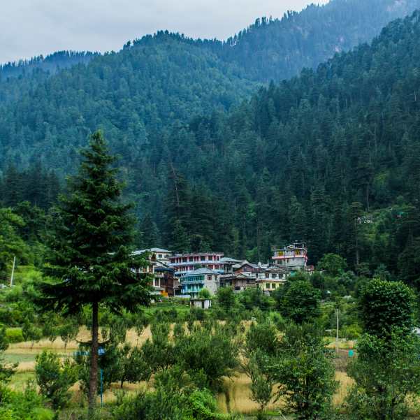
Jibhi Village
5 min walk to the trailhead
The village itself, with cafes, homestays, and the river running through. Most travellers base here for two or three nights, and the boulder spot is one of the easier morning outings from the market.
Jibhi Waterfall
~10 to 15 min walk through the village
The other classic short outing in Jibhi, a small waterfall on a stone path through the forest. The natural pairing with the boulder spot for a half day morning loop.
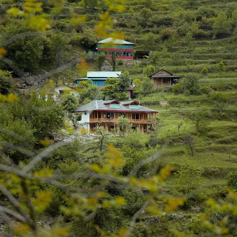
Shoja
~7 to 10 km · 20 to 30 min drive uphill
A small forest village at around 2,700 m, the closest base to Jalori Pass. Quieter and higher than Jibhi.
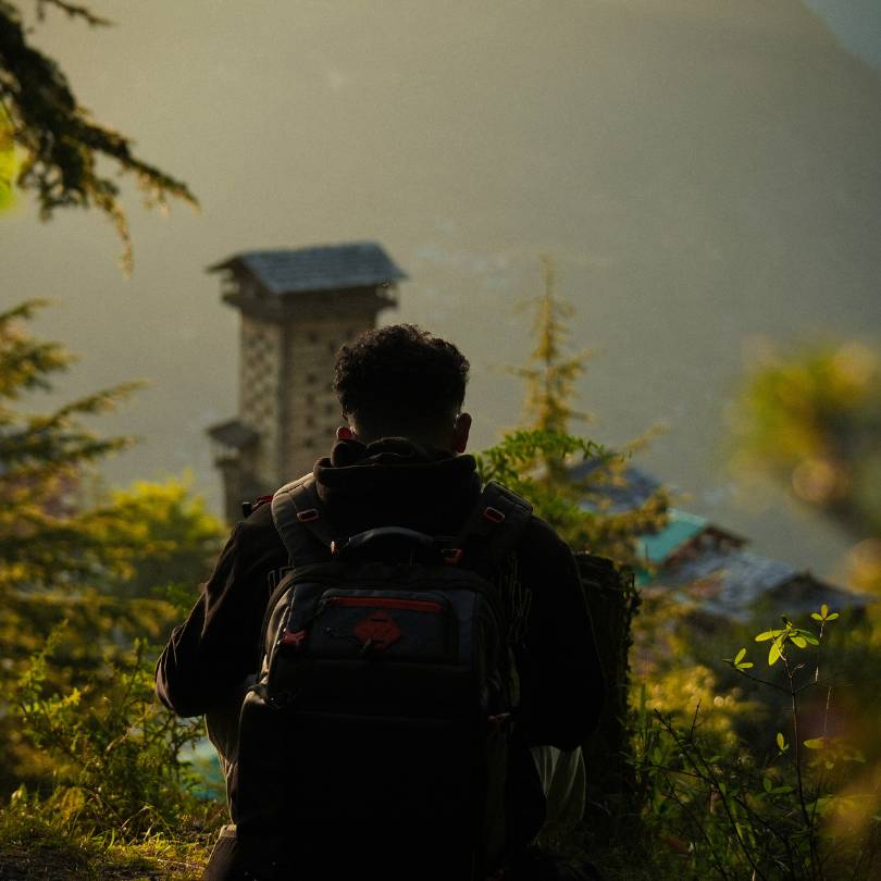
Chehni Kothi
~10 to 12 km · 30 to 40 min drive
A tall Kath Kuni stone and wood tower above Banjar, several centuries old, reached by a short uphill walk through apple orchards.
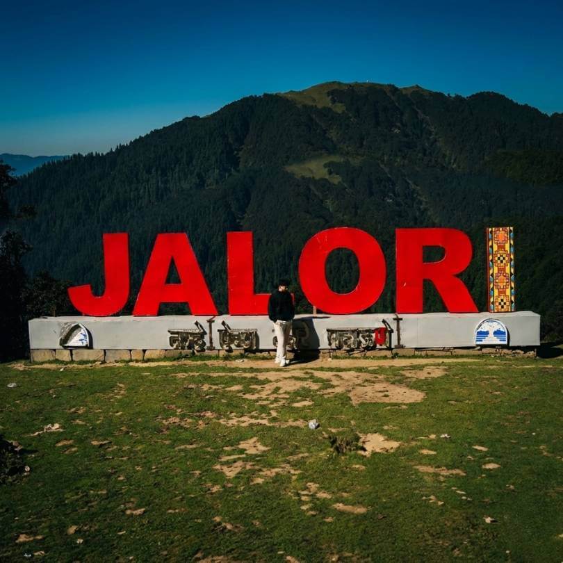
Jalori Pass
~12 km · 45 min drive uphill
The mountain pass on NH 305 above the village, the trailhead for several day walks.
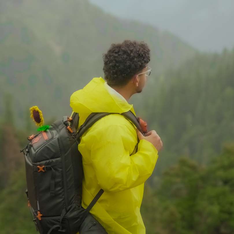
Raghupur Fort Trek
12 km drive + 3 km trek each way
A short steep day hike from Jalori Pass to a meadow ridge with old fort walls and a wide panorama.
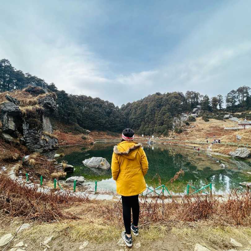
Serolsar Lake
12 km drive + 5 km trek each way
A small sacred alpine lake reached by an easy forest walk from Jalori Pass. The most popular day trek from the area.
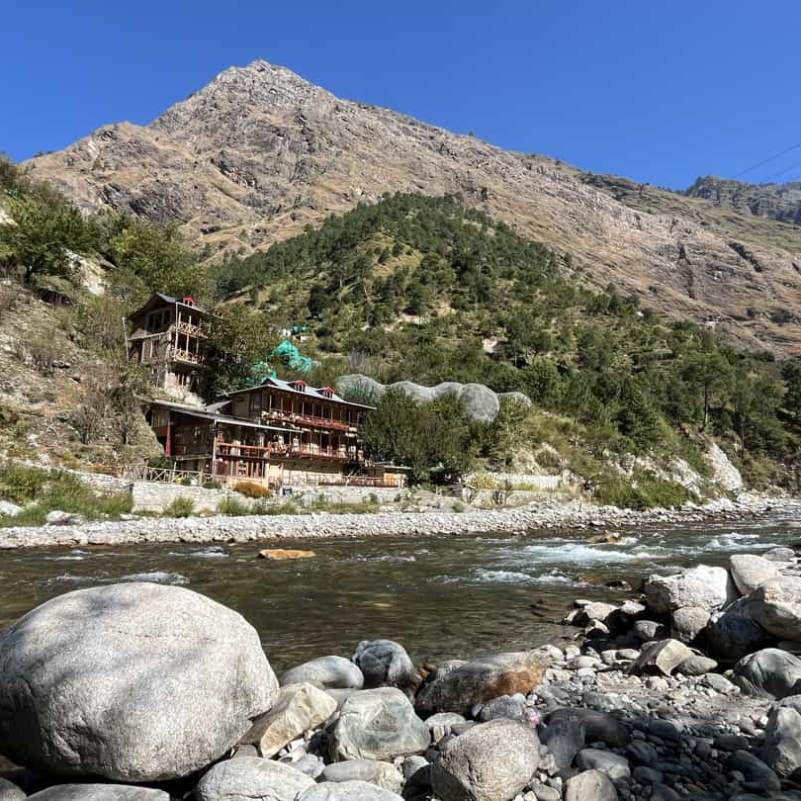
Tirthan Valley
~30 km · 1 hour drive
The river valley below the road, with trout fishing, riverside cafes, and trekking access into the Great Himalayan National Park.
Our packages with Mini Thailand Jibhi (Kulhi Katandi)
Curated trips that include a visit to Mini Thailand Jibhi (Kulhi Katandi).
 Group Tour5D/4N
Best Jibhi Tirthan Valley & Jalori Pass Weekend Tour From Delhi
1D Delhi •2D Tirthan Valley+1
₹5,999₹6,599SAVE INR 600/ person 5D/4N
5D/4NJibhi Tirthan Valley & Jalori Pass Scenic Weekend Tour
1D Delhi•2D Jibhi+1
₹11,999₹15,999SAVE INR 4,000/ person 6D/5N
6D/5NBest Jibhi Tirthan Valley & Shangarh Meadows Trip
1D Delhi •2D Tirthan Valley+2
₹15,999₹19,999SAVE INR 4,000/ person
Frequently Asked Questions
What is Mini Thailand in Jibhi?
It is the tourist nickname for a small spot on the Pushpabhadra stream just outside Jibhi village in Kullu district, where two large boulders form a natural arch over a clear pool. The locally used name is Kulhi Katandi. The Mini Thailand name came from travellers who thought the rock and water arrangement resembled scenes from Krabi or Phuket.
Why is it called Mini Thailand?
Travellers around 2020 to 2022 began comparing the boulder arch and the clear pool to the limestone rock beaches of southern Thailand, and the comparison stuck on Instagram and Reels. The name is generous, the spot is small, but the photo of the arch genuinely does have a Krabi adjacent feel from one specific angle. Locals call it Kulhi Katandi.
Where exactly is Mini Thailand located?
On the road from Jibhi village towards Jalori Pass (NH 305), about 1.5 to 2 km uphill from the village market. Look for a Forest Rest House on the left, and just past it a painted board reading Kulhi Katandi or Mini Thailand. The trail drops down to the left from the board, following a water pipe.
How far is Mini Thailand from Jibhi village?
Roughly 1.5 to 2 km from the village market by road, then a 300 to 500 metre descent on a forest trail. About 5 minutes by car or 15 to 20 minutes on foot to the trailhead, then 10 to 20 minutes down to the boulders.
Is there an entry fee at Mini Thailand?
No. There is no ticket counter, no formal entry, and no permits required. The spot is open access on a forest trail. You may pay 60 to 80 rupees for Maggi at the small stall if it is open, but that is the only spend.
How long does the visit take?
30 to 45 minutes total, including the walk down from the road and back up. Plan it as one of two or three morning stops in Jibhi rather than the centerpiece of a day.
Can you swim at Mini Thailand?
Not really. The current runs faster than it looks, the rocks underwater are slippery, and the water level can rise within minutes after rain upstream. Most travellers dip their feet from a flat rock, take photos, and leave the deeper water alone. Avoid getting in entirely if the sky looks unsettled.
When is the best time to visit?
March to early June and September to early November are the clean windows. Spring brings clear water and dry trails, autumn brings the sharpest light of the year. Skip July and August, the trail is dangerous when wet and the water rises fast. Winter is quiet and accessible but properly cold.
Is it safe to visit during monsoon?
It is the only window with real safety concerns. The trail turns slick, the boulders get genuinely dangerous, and the water level can rise within minutes after upstream rain. If you do go in August, go only on a clear morning, do not get in the water at all, and turn back immediately if the sky darkens.
Can I go with kids?
Yes for kids 8 and above with normal walking ability. The descent is short but uneven, and the wet rocks at the bottom need supervision. For kids under 6 or 7, the trail is more effort than reward and you may end up carrying them on the climb back up. Skip it as a family stop if you have very young kids and the day is wet.
Is there food and water at the spot?
A small Maggi and chai stall sometimes operates near the trailhead or on the descent, hours and existence depend on the season. Carry your own water from your homestay, the stream water is not safe to drink untreated. No proper meals on site, eat in Jibhi village before or after.
Can I combine it with Jibhi Waterfall in one visit?
Yes, that is the standard plan. Walk to Jibhi Waterfall first thing in the morning from the village market (about 10 minutes, small entry fee), then walk back through the village and uphill towards the Jalori Pass road to the boulder spot. Total time 2 to 3 hours, breakfast in the village afterwards. This is the easiest half day in Jibhi.
Related guides
Posts about Jibhi
- Jibhi in December 2026: Snowfall, Weather, Road Status and Winter Guide
- Jibhi in October 2026: Weather, Road Conditions, Places and Trip Plan
- Jibhi in August 2026: Weather, Road Safety, Itinerary and Honest Advice
- Jibhi for Honeymoon in 2026: Why Couples Choose It Over Manali
- Best Things to Do in Jibhi for Couples in 2026: Romantic Places, Walks and Hidden Gems
- Jibhi or Kasol — Which Is Better? An Honest, No-Fluff Comparison