
Jalori Pass
A 10,800 ft mountain pass on NH 305 — the standard day out from Jibhi or Shoja, when the BRO has the road open
- Mountain pass
- 10,800 ft
- Jibhi · 14 km
- NH 305
- Apr to Nov, usually
What makes it special
Jalori Pass sits at 10,800 ft on National Highway 305 — the branch road that leaves the Manali highway at Aut, climbs through Jibhi and Shoja in the Banjar valley, crests here, and drops down the other side to Anni and Sainj on the Outer Seraj slopes. It is the highest motorable point in this part of Kullu district, and the reason most travellers staying around Jibhi or Tirthan make the half-day or full-day run up.
The pass itself is not a sight in the way a viewpoint is a sight. There is a small Mata Jalori temple with bells and a tin roof, four or five dhabas serving rajma chawal and Maggi, open meadows on either side of the road, and a painted board pointing one way to Serolsar and the other to Raghupur. What makes the drive worth it is what starts here — three different day walks at roughly the same altitude, each with its own personality.
The thing most pages quietly underplay is the road. It is 14 km up from Jibhi and the climb is steep almost the whole way, on a constant run of tight hairpin bends. The last 3 km before the top is the worst of it — narrow, rough, often with loose stones after rain. The pass is not open year-round, no matter what older blogs claim. Heavy snow shuts the route every winter, and it only reopens once the BRO has cleared the snow, which usually happens some time in late March or April with no fixed date. Through the peak winter months of January to March, assume the pass is closed. If you are not confident on Indian hill roads, do not self-drive — take a local taxi from Jibhi or Shoja. That is what your homestay will quietly recommend anyway.
Quick answers
- Is Jalori Pass worth visiting?
- Yes if you are staying in Jibhi, Shoja or the Tirthan area and the road is open. The pass itself is half an hour at the dhabas plus one of three day walks — most people pick Serolsar Lake. If you are driving through and the route is clear, it is a natural half-day stop. Skip it if the road is snowed in and you have not planned a guided winter hike.
- How much time do you need at Jalori Pass?
- Half a day for a quick stop with tea and a short walk. A full day if you plan to trek to Serolsar Lake or Raghupur Fort. There is no overnight at the top — base in Jibhi or Shoja and drive up for the day. Aim to reach the pass by 10 or 11 AM at the latest.
- Is Jalori Pass open right now?
- The pass is seasonal. Generally open April to November once the BRO has cleared the snow, and almost always shut through peak winter from January to March. November and April are the borderline months and shift every year with the weather. If your trip falls in those windows, ask your homestay or a Jibhi taxi driver the day before you plan to drive up. From January through March, assume the road is closed unless a local source tells you otherwise.
Quick facts
Everything you need to know at a glance.
At a glance
- Altitude
- 10,800 ft (~3,292 m)
- Location
- NH 305, between Jibhi and Ani, Kullu district, Himachal Pradesh
- Nearest villages
- Shoja 5 km, Jibhi 14 km
- Open season
- Generally Apr to Nov, dependent on BRO snow clearance. Closed Jan to Mar in peak winter.
- Best arrival window
- Reach the pass by 10 to 11 AM
- Entry fee
- None. No permits required.
- Time needed
- Half day for a stop, full day if trekking
- Difficulty
- Easy by taxi when open. Drive is steep with tight hairpin bends; last 3 km is rough. Best left to experienced hill drivers or a local cab.
On the ground
- Mobile network
- Patchy. BSNL usually works at the pass itself, Jio and Airtel sometimes do. Nothing reliable on the Ani side descent until the lower villages.
- ATMs
- None at the pass. Nearest ATMs are at Banjar and Aut. Withdraw cash before you head up.
- Fuel
- No fuel at the pass, Jibhi, or Shoja. Last reliable pumps are at Banjar and on the Aut side. Tank up on the way in.
- Food
- Four or five dhabas at the top serve rajma chawal, Maggi, omelettes, parathas and chai. Plates run 100 to 180 rupees. Cash only.
- Parking
- Limited roadside parking at the top. Arrive by 10 AM in peak season to get a spot close to the tea stalls.
- Permits
- None required for Indian travellers. Great Himalayan National Park entry, if you plan to enter the park itself, is separate.
- Drones
- Not welcome. The pass is near the Great Himalayan National Park boundary and the temple complex is active. Avoid.
- Walking at the pass
- The top is walkable in 10 minutes. Meadows 100 to 200 metres off the road give the best views with the least crowd.
- Guides
- Not needed for the pass itself. For winter snow hikes and the deeper Bajah Top treks, use local guides from Jibhi or Shoja.
Seasonal weather
- April to early June14°2°Late spring
- July to August17°9°Summer monsoon
- September to early November13°0°Autumn
- Mid November to March-2°-15°Winter
Suitable for
- Couples — suitable
- Families — suitable
- Seniors — with some care
- Solo — suitable
- First-timers — suitable
- Pet-friendly — suitable
How to reach Jalori Pass
4 approach routes, with seasonal access.
From Jibhi
Generally Apr to Nov, dependent on BRO snow clearance. Closed Jan to Mar in peak winter.- Distance
- ~14 km
- Time
- ~1 hour one way
- Road
- Narrow tarred road with constant hairpin bends and steep gradients. Manageable for most of the climb, then rough, narrow and steep for the last 3 km before the top. Best suited to experienced hill drivers or a local cab.
- Last fuel
- Tank up at Aut or Banjar on the way in. No fuel at Jibhi or beyond.
The standard approach and the one most Jibhi homestays will arrange for you. Leave Jibhi by 8 or 9 AM, climb out through Ghayagi and Shoja, and reach the top by 10 AM. Return taxi fare in peak season runs roughly 1,500 to 2,000 rupees with a few hours of waiting time built in. Self drive is fine only if you are comfortable on tight Indian mountain switchbacks and your car has decent ground clearance. Long sedans, low cars, and first-time hill drivers should hire a taxi instead.
From Shoja
Same as the Jibhi approach. Closed Jan to Mar in peak winter, dependent on BRO clearance.- Distance
- ~5 km
- Time
- ~20 min one way by vehicle
- Road
- Short, steep tarred climb from Shoja to the pass with tight bends throughout. The closest village base.
- Last fuel
- Tank up at Aut or Banjar on the way in. None beyond.
The shortest approach and the obvious choice if you are already in Shoja. Most homestays here arrange a local taxi for the morning run, or you can walk up if you want to earn the view. Walking Shoja to the pass adds about 90 minutes one way and a fair climb — do it only if you are fit and the weather is clear.
From Shimla (Outer Seraj side via Khanag)
Generally Apr to Nov, dependent on BRO clearance on both sides. The Khanag side can hold snow a little longer than the Shoja side in some years. Confirm both sides are clear before attempting a crossing.- Distance
- ~150 km from Shimla via Narkanda, Luhri, Anni and Khanag
- Time
- ~5 to 6 hours from Shimla
- Road
- NH 5 from Shimla to Narkanda, then a long ghat descent to Luhri, then a narrower climb via Anni and Khanag up to the pass. The final 12 km from Khanag is steep with continuous hairpins.
- Last fuel
- Narkanda, Luhri, Anni. No fuel above Khanag.
The circuit route. Useful if you are linking a Shimla or Narkanda trip with Kullu or Tirthan, or the other way around. Leave Narkanda early, drop to Luhri on a long winding ghat road, climb back up to Anni, continue to Khanag, then up the final steep 12 km to the pass. From the top, the Shoja and Jibhi side feels wetter and greener immediately. Reach Jibhi or Shoja before dark. If you are not a confident mountain driver, do not attempt this as a crossing — drive up from the Jibhi side and turn back instead.
From Delhi or Chandigarh (approach to Jibhi)
The approach to Jibhi and Banjar is open all year. Only the Jalori Pass section above Shoja closes in winter, and even that is on a year-by-year basis dependent on BRO clearance.- Distance
- ~500 km from Delhi, ~270 km from Chandigarh
- Time
- 12 to 14 hours from Delhi, 8 to 9 hours from Chandigarh
- Road
- NH 3 from Chandigarh to Aut, then NH 305 into the Banjar valley. Mostly decent tar, slower in monsoon because of landslide risk between Mandi and Aut.
- Last fuel
- Chandigarh, Swarghat, Bilaspur, Sundernagar, Aut, Banjar.
Most travellers reach Jibhi as an overnight drive, or a Volvo bus to Aut and a taxi onwards. Aut is the key turn-off, 450 km from Delhi, just before the Aut tunnel on the Manali highway. Do not miss the left turn if you are driving at night, it is easy to sail past. From Aut, it is 24 km to Banjar, 8 km more to Jibhi, and 14 km above Jibhi to the pass.
Best time to visit
Season by season, so you can plan around the weather rather than hope.
- Recommended
Late spring
April to early June
The cleanest window once the BRO reopens the road
- Day temperature
- 8 to 14 °C
- Night temperature
- -2 to 4 °C
- Roads
- Reopens some time in April after BRO snow clearance, usually fully clear by early May
- Crowds
- Moderate on weekends, light on weekdays
The most reliable time to come, once the snow clears. Days are crisp, the meadows at the top start greening through late April, and wildflowers build through May and into early June. Crowds are moderate on weekends and thin on weekdays. Even in June, mornings at the pass drop close to zero — carry a warm layer. If you are driving up in April, start early; the road is steadier before any afternoon melt, and a fresh BRO clearance can still be loose underfoot.
Summer monsoon
July to August
Skippable unless you genuinely like the forest in rain
- Day temperature
- 14 to 18 °C
- Night temperature
- 9 to 12 °C
- Roads
- Open but landslide-prone, especially Mandi to Aut
- Crowds
- Low
Most travellers skip this window and it is a fair call. The pass takes heavy rain, the road from Mandi up to Aut sees landslides, and the day walks turn slippery with leeches on the forest sections. Photography is mixed — you get mist and drama but lose the long views. If you do come in August, plan around the weather, carry a proper rain shell, and do not start for Serolsar or Raghupur in a thunderstorm.
- Recommended
Autumn
September to early November
Sharpest views of the year, gold in the oak leaves
- Day temperature
- 8 to 14 °C
- Night temperature
- -2 to 5 °C
- Roads
- Generally dry and stable — the best driving window
- Crowds
- Moderate, drops sharply after mid October
If you can time it, late September to mid October is the sharpest window of the year. Post-monsoon air clears the long views, the oak leaves begin to turn, and the light is at its best in the first and last hours of the day. Weekdays are quiet; weekends in October pull in a steady stream of Delhi and Chandigarh travellers. First snow at the top usually falls in the first half of November, and the road closes soon after.
- Closed
Winter
Mid November to March
Road shut by snow — peak winter (Jan–Mar) is firmly closed
- Day temperature
- -5 to 0 °C
- Night temperature
- -12 to -20 °C
- Roads
- Closed by snow Jan to Mar. Reopens on BRO clearance, usually late Mar or Apr.
- Crowds
- Almost none, a few guided snow hikes
The pass road usually shuts in mid to late November after the first heavy snowfall. From January through March it stays firmly closed — peak winter at the top can pile up 15 to 20 feet of accumulated snow, which is why the route stays blocked for months. Reopening is entirely on the BRO clearance schedule and tends to happen some time in late March or April, with no fixed date. A few Jibhi and Shoja operators run guided snow walks by approaching from the lower villages in lighter snow windows, but this is not a drive-up day. You need boots, gaiters, poles and a local guide.
Things to see & do
10 things worth your time at Jalori Pass.
Rajma chawal at the dhabas
20 to 30 minutesThe most honest reason most travellers come up here. Park, walk to the cluster of tea stalls beside the Mata Jalori temple, and order one plate of rajma chawal and a masala chai. At 10,800 ft in thin mountain air, the plate tastes better than it has any right to. 150 to 200 rupees, takes 20 minutes, and you have done the core Jalori Pass experience.
Pause at the Mata Jalori temple
10 minutesSmall Himachali shrine at the top of the pass, usually open and looked after by a local caretaker. Bells hang at the entrance, a butter lamp or two inside, and a simple altar. A quick pause here is the customary thing to do before either of the day walks. Remove shoes and caps, walk clockwise if you go near the altar, and carry a small note if you want to contribute.
Walk up to the 360 Viewpoint
1.5 to 2 hours round tripThe best short climb from the pass. A steep spur trail branches off the Serolsar path about 500 metres in and tops out after another 300 metres of climbing at the 360 Viewpoint — a meadow with open views of the Pir Panjal on one side and the Great Himalayan Range on the other. About 45 minutes each way at a steady pace. Do it early; cloud builds up from late morning.
Day trek to Serolsar Lake
5 to 6 hours round tripThe longest and easiest of the three day walks from the pass. 5 km each way through oak and deodar forest to a small sacred lake with a Budhi Nagin temple on the bank. Mostly flat, shaded almost the whole way, fine for older kids and first-time trekkers. Count on 5 to 6 hours round trip from the pass including time at the lake.
Day trek to Raghupur Fort
2 to 3 hours round tripThe other classic walk from the pass, on the opposite side of the road. 3 km each way, steeper than Serolsar, ending on a grassy plateau with the ruined walls of an old Thakur fort and a small shrine. About 2 to 3 hours round trip. Pick this over Serolsar if you want bigger views and fewer people, and do not mind a steeper climb.
Watch for Himalayan griffon vultures
20 to 40 minutes at the passJalori sits high enough and open enough to be a reliable spot for Himalayan griffon vultures, among the largest birds in the Indian Himalaya. On a clear, still morning between roughly 10 AM and 2 PM, you can often see them riding the thermals over the meadows on either side of the pass. The oak and deodar forest along both trails also hosts Himalayan monal, cheer pheasant, spotted forktails, and several thrush species. Carry small binoculars if you have them, step 50 metres off the road for better luck, and move slowly.
Sunset from the meadows at the pass
30 to 45 minutesThe ridgeline meadows a short walk from the pass on either side of the road give very clean sunset views on a clear day. You do not need to hike anywhere — just walk 100 metres off the road and sit on a rock. On a bright October evening the eastern peaks catch pink light for about 15 minutes before going cold. A warm layer is non-negotiable, even in May.
Snow on the shoulders of the road
Half to full dayIn the weeks right after the BRO reopens the road in April, and sometimes on early-season days in late November, the road is clear but the flanks still hold snow. You can park at the pass and walk into the forest for a snowball moment without needing gear beyond good shoes and a jacket. If you actively want deep winter snow, come with a local guide from Jibhi or Shoja — not on your own.
Drive across to the Outer Seraj side
1 to 2 hoursIf you have time, drive 5 to 10 km down the Anni side of the pass for a completely different landscape than the Jibhi side. The Outer Seraj slopes are drier, more open, and the villages look different. Turn around at Khanag or Ghiyagi and come back. Good drive, adds an hour to your day, and most travellers skip it.
Extend to Lambhari Top for a multi-day trek
2 to 3 days round tripSerious trekkers can push past Serolsar Lake on a ridge trail that climbs to Lambhari Top — also spelled Lambri — at around 3,600 metres. The route gives open ridge walking and far wider mountain views than the lake itself. The standard plan is to camp overnight near Serolsar, walk up to Lambhari the next day, and return to Jalori on day two or three. Needs a local guide from Jibhi or Shoja, camping gear, and prior acclimatisation. Not a day hike, and not something to improvise on your own.
Know before you visit Jalori Pass
The practical bits, from people who have been.
What Jalori Pass actually isA working mountain pass at 10,800 ft on NH 305 — not a destination on its own, but the trailhead for several day walks.
Jalori Pass is the crest of NH 305, the national highway branch that leaves the Manali road at Aut, climbs through Jibhi and Shoja in the Banjar valley, tops out here at 10,800 ft, and drops down the other side to Anni and Sainj in Outer Seraj. The British used roughly the same alignment during the colonial era as a trade route between the Kullu and Shimla regions, which is why some maps still mark it as the old Britisher's route.
The pass sits in a particular geographic position. To the north is the Banjar and Tirthan side — wetter, greener, with the Great Himalayan National Park boundary close by. To the south is Outer Seraj — drier and more open. That difference explains why the two sides look so unlike each other and why a road across this pass mattered long before tourism showed up.
For the traveller, the takeaway is simple. You are not going to a sight, you are going to a staging point. What happens here is what starts here — the walks, the tea, the meadow views, and the small temple. An hour at the top is often enough. A full day if you add Serolsar or Raghupur.
Is the road open? The honest answerOpen roughly Apr to Nov subject to BRO clearance. Closed Jan to Mar in peak winter.
The pass is generally open from around April to November, and firmly closed from January through March every year. The borderline months are April and November, where dates shift each season with snowfall.
The typical pattern. The first big snow usually closes the road some time in mid to late November. Through January, February and most of March, the route is shut, often under 15 to 20 feet of accumulated snow. Clearing is entirely on the BRO and tends to begin in late February or March, with the road becoming drivable again some time in late March or April. There is no fixed reopening date — it is a year-on-year call by the road authorities.
Planning around it. If your trip falls in June, July, September or October, you are fine — the road is almost certainly open, just watch for monsoon landslides. If your trip is in April, May or November, ask your homestay in Jibhi or Shoja the day before you drive up. From January to March, assume the pass is closed unless a local source tells you otherwise.
Quiet recheck reminder. Road status can change in a day after a storm or a fresh BRO clearance pass. The driver at your homestay is the best source — more current than any website, this one included.
Which of the three day walks to pickSerolsar (5 km) for a destination walk, Raghupur (3 km) for views, 360 Viewpoint for a quick climb.
Three walks start at the pass and they are not interchangeable. Travellers who walk up to the temple, see a board pointing to Serolsar, and just start walking, often pick the wrong one for their mood.
Serolsar Lake. 5 km each way, easy and mostly flat, shaded through oak and deodar, ends at a small sacred lake with a temple and a couple of dhabas. The best pick for families, first-time trekkers, and anyone who wants a destination at the end. Plan 5 to 6 hours round trip.
Raghupur Fort. 3 km each way, steeper, ends on a grassy plateau with ruined walls and a wide open view. The best pick for bigger views and fewer people. Plan 2 to 3 hours round trip.
360 Viewpoint. The shortest and steepest, a spur off the Serolsar trail, tops out in about 45 minutes. Best for a quick, very wide view, and for sunrise if you are willing to camp at the pass or leave Shoja by 4 AM.
Trying to do Serolsar and Raghupur in the same day from the pass is ambitious, especially if you came up by taxi from Jibhi in the morning. Pick one, give it proper time, come back another day for the other.
Photography guideFirst and last light for the meadows, early October for the clearest views, no drones.
The best light at the pass is the hour after sunrise and the hour before sunset. In both windows the peaks on either side catch warm light while the meadows stay in soft shadow. Midday is flat, hazy in summer, and harsh on the forest trails.
For the widest views, the 360 Viewpoint is worth the climb. Early October is the sharpest window — post-monsoon air gives the clearest look at the Pir Panjal and the Great Himalayan Range. A 24 to 35 mm lens covers most of it. In winter, even during the short windows when the road is drivable, white slopes against dark forest make for strong black and white frames.
Photographing locals and pilgrims — ask first, always. The temple caretakers and dhaba owners are generally relaxed about being photographed if you ask, though shrine interiors are off limits. Drones are not welcome. The pass sits near the Great Himalayan National Park boundary and the temple complex is active, which is reason enough to keep them grounded.
Self-drive vs hire a taxiTake a local taxi unless you genuinely know hill driving. The hairpins and the last 3 km do not forgive learners.
The 14 km drive up from Jibhi is steep almost the whole way and runs on continuous hairpin bends. The road is tarred for most of it and busy enough that if you break down, another car will come along in 20 minutes. The last 3 km before the top is the only really tricky bit — narrow, steep, and often with loose stones after rain.
If any of the following apply, hire a taxi from Jibhi or Shoja instead. You are not confident on tight hairpins. Your car is a large sedan or has low ground clearance. You are not from the mountains and this is your first hill drive. You plan to drink chai at altitude and then drive down tired.
Return taxi rates from Jibhi run roughly 1,500 to 2,000 rupees in peak season for a small car, with a few hours of waiting time included. From Shoja it is closer to 800 to 1,200 because the drive is shorter. Shared taxis run in the morning if you are solo and do not mind a fixed schedule.
Small local tip. If you are self-driving in April or November, the hour matters. Morning is drier and safer than afternoon, when the road can get wet from snow melting on the shoulders.
Where to base and eatStay in Jibhi for variety, Shoja for quiet. Eat at the dhabas at the pass.
There is no accommodation at the top of the pass. Plan to sleep at Jibhi or Shoja and drive up for the day. Both villages have the right feel for the region, and both are now well set up for travellers.
Jibhi has the widest range of stays and the best food scene. Homestays from around ₹1,500 a night, cabins and boutique properties upwards of ₹4,000, and a cluster of cafes serving everything from Israeli breakfasts to Himachali thali. A good base for first-time visitors. Busier on weekends. About 14 km below the pass.
Shoja sits about 5 km below the pass and is the closer base. Quieter, colder at night, fewer food options outside your homestay. Better if you want early starts, silence after dark, and a shorter drive up. The PWD and Forest Department rest houses here are often full — book ahead.
At the pass itself, the dhabas serve rajma chawal, Maggi, omelettes, parathas and chai. Plate rates run ₹100 to ₹180. Cash only. The rajma chawal is genuinely good — try it before the day walks rather than after.
Safety, altitude and weatherMild altitude, fast weather. Carry layers and a rain shell, even in summer.
10,800 ft is mild altitude by Himachali standards but still real. If you came up from Delhi or another plain in the last 24 hours, you may feel some breathlessness on the climb. Walk slowly for the first half hour, drink water, and eat something warm at the dhabas before any trekking. Proper altitude sickness is rare here, but not impossible.
Weather moves fast. Mornings are typically clear, afternoons often cloud up and can turn misty by 2 PM, and evenings at the pass drop near zero even in May and June. Carry a warm layer and a rain shell, always, even on a bright morning. Lightning is a real risk on monsoon afternoons — do not linger on exposed meadows or ridges if you see a building storm.
Medical help. There is no clinic at the pass. A basic first aid box is usually around at one of the dhabas. The nearest proper hospital is at Banjar, about an hour down by road, and a better one at Kullu, about 2.5 hours away.
One honest line on winter travel. If the road looks drivable but you see any snow on the last 3 km, turn back. Every winter a few cars get stuck on the steep final stretch because the driver pushed a little too far. Not worth it.
Local tips most travellers missArrive by 10 AM, walk off the road, eat at the right time, carry small cash.
Come up early. Reach the pass by 10 AM if you want a proper day. Afternoon arrivals feel rushed, the light is flat, and any cloud build-up cuts the view. The dhabas open by about 8 AM in season.
Walk the meadows 100 to 200 metres off the road rather than staying at the dhaba cluster. Most travellers never leave the parking area, which means you can have a great view almost to yourself by walking a few minutes either side of the road.
If you are doing Serolsar, eat before the trek, not after. You will have more energy on the way out and less patience for food on the way back. If you are doing Raghupur or the 360 Viewpoint, save the meal for when you get back — the plate feels earned.
Carry small cash. Dhabas and taxi drivers prefer ₹100 and ₹200 notes, and change for ₹500 takes time in the morning. Also fill water bottles before leaving your homestay — the only water at the pass is from dhabas and not always in full stock.
Nearby attractions
Other places worth the detour.
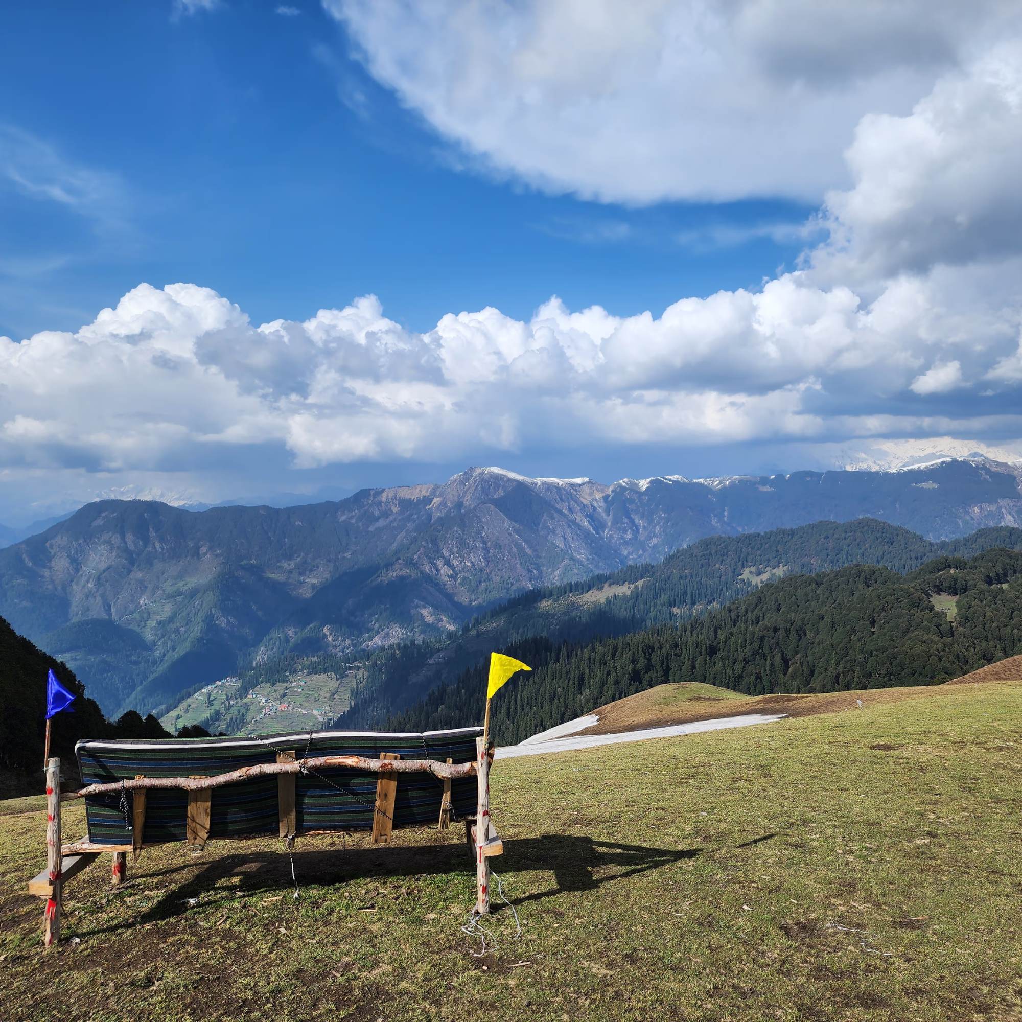
360 Viewpoint
~500 m from the pass, then 300 m climb
The highest point on the Serolsar trail, a short steep spur with open views of the Pir Panjal and the Great Himalayan Range.
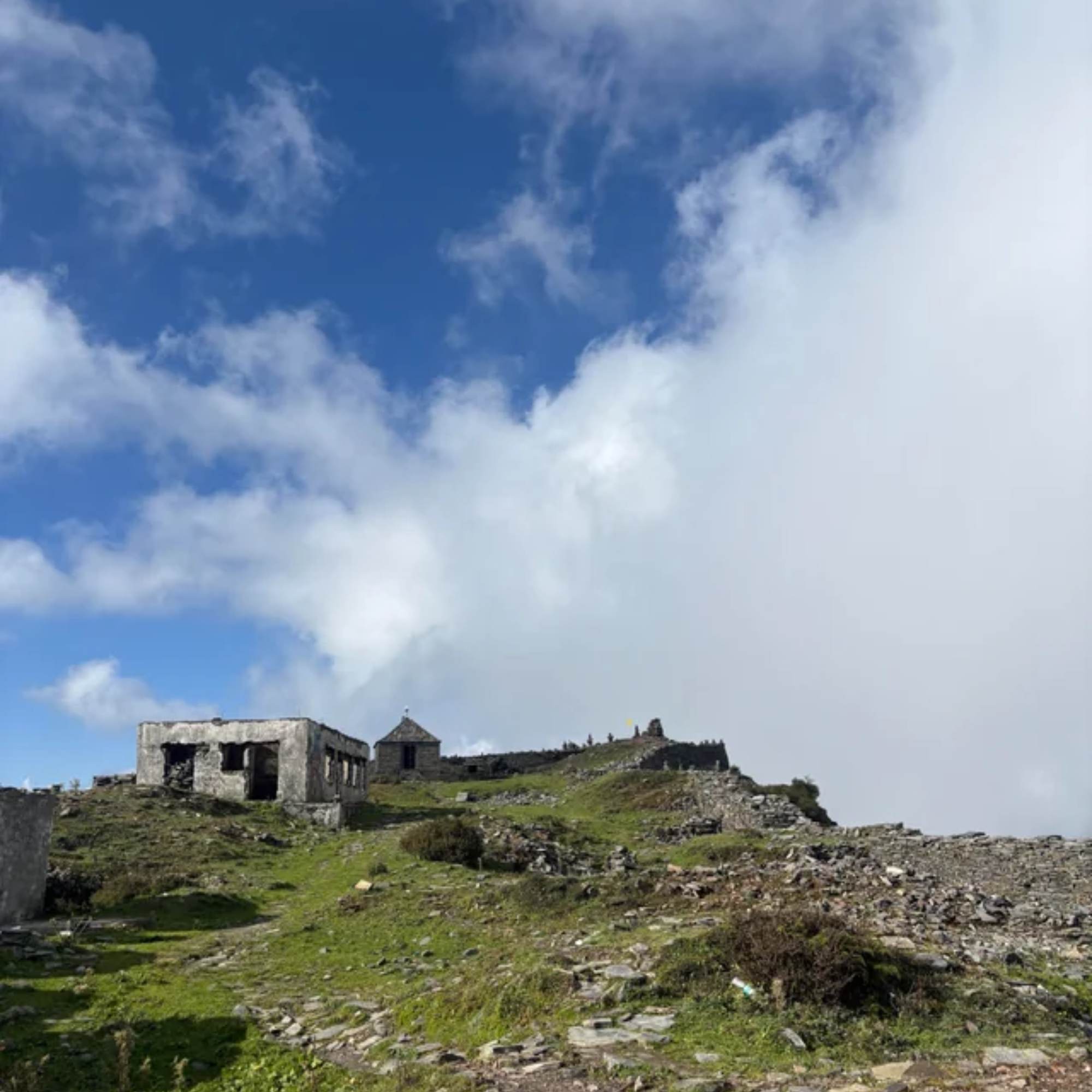
Raghupur Fort
3 km trek from the pass, opposite direction
Ruined hilltop fort on a grassy plateau, the other classic day walk from the pass. Shorter and steeper than Serolsar, with a wider view from the top.
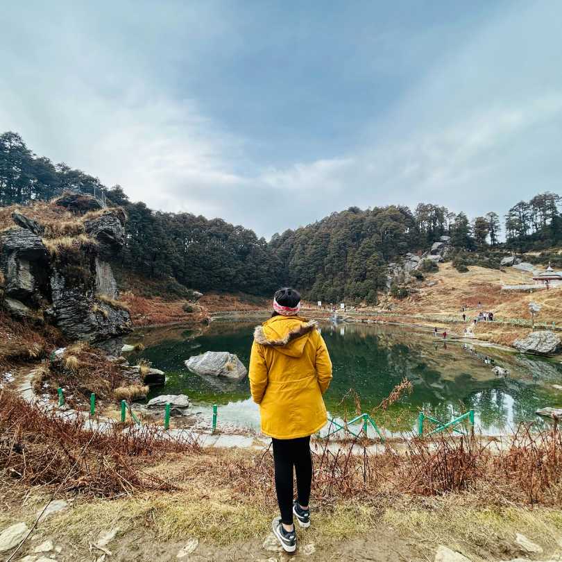
Serolsar Lake
5 km trek from the pass
A small sacred alpine lake reached by an easy 5 km forest walk from the pass, ending at a Budhi Nagin temple.
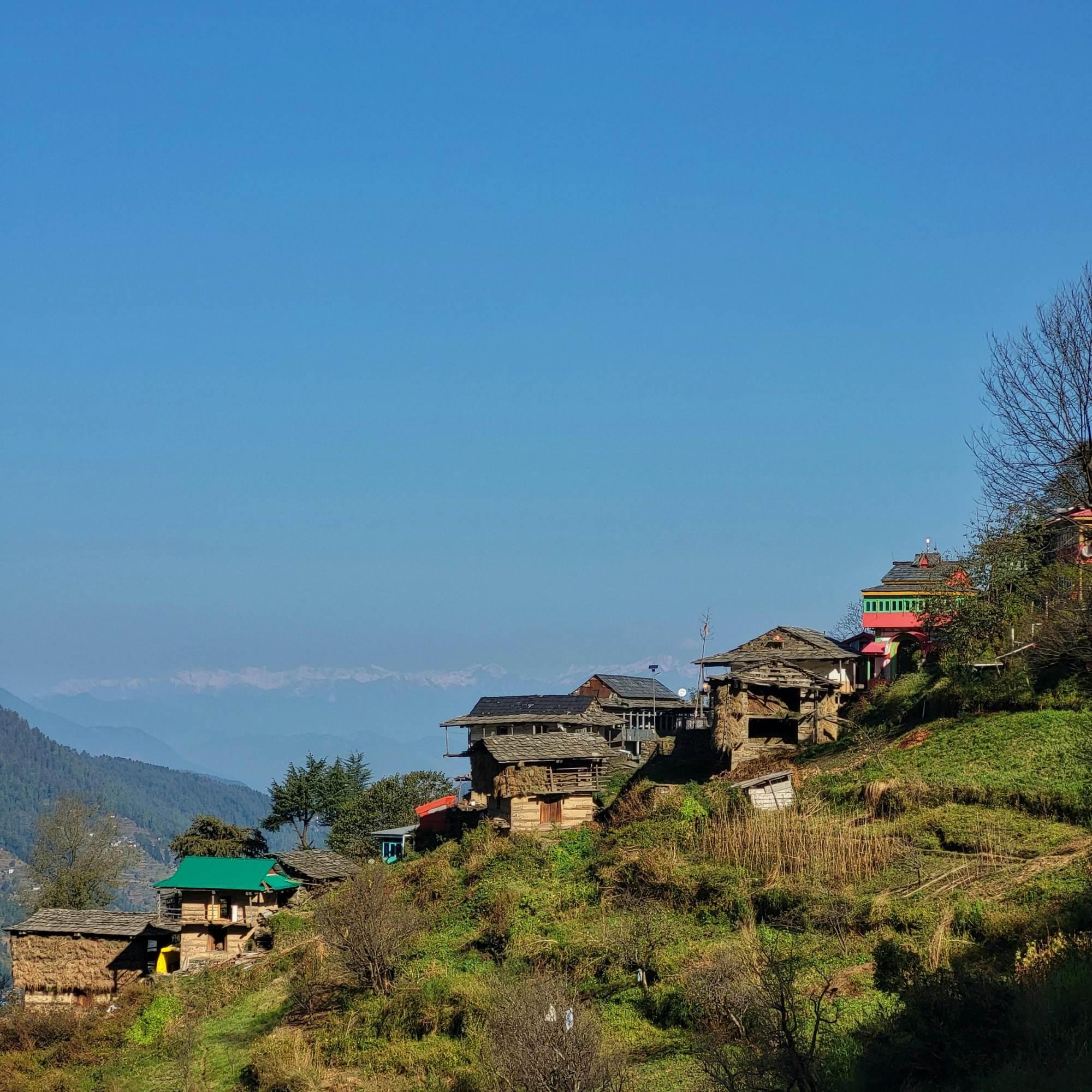
Shoja Village
5 km · 20 min drive
The closest village to the pass, about 5 km below it. Quieter and colder than Jibhi.
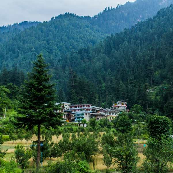
Jibhi Village
14 km · 1 hr drive
The standard base for visiting Jalori. Homestays, cafes, Jibhi Waterfall, and a relaxed mountain village feel.
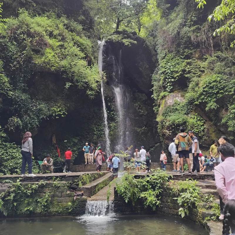
Jibhi Waterfall
~14 km from the pass
A small waterfall in Jibhi bazaar, a 10 minute walk from the road. Easy family stop on the way down from the pass.
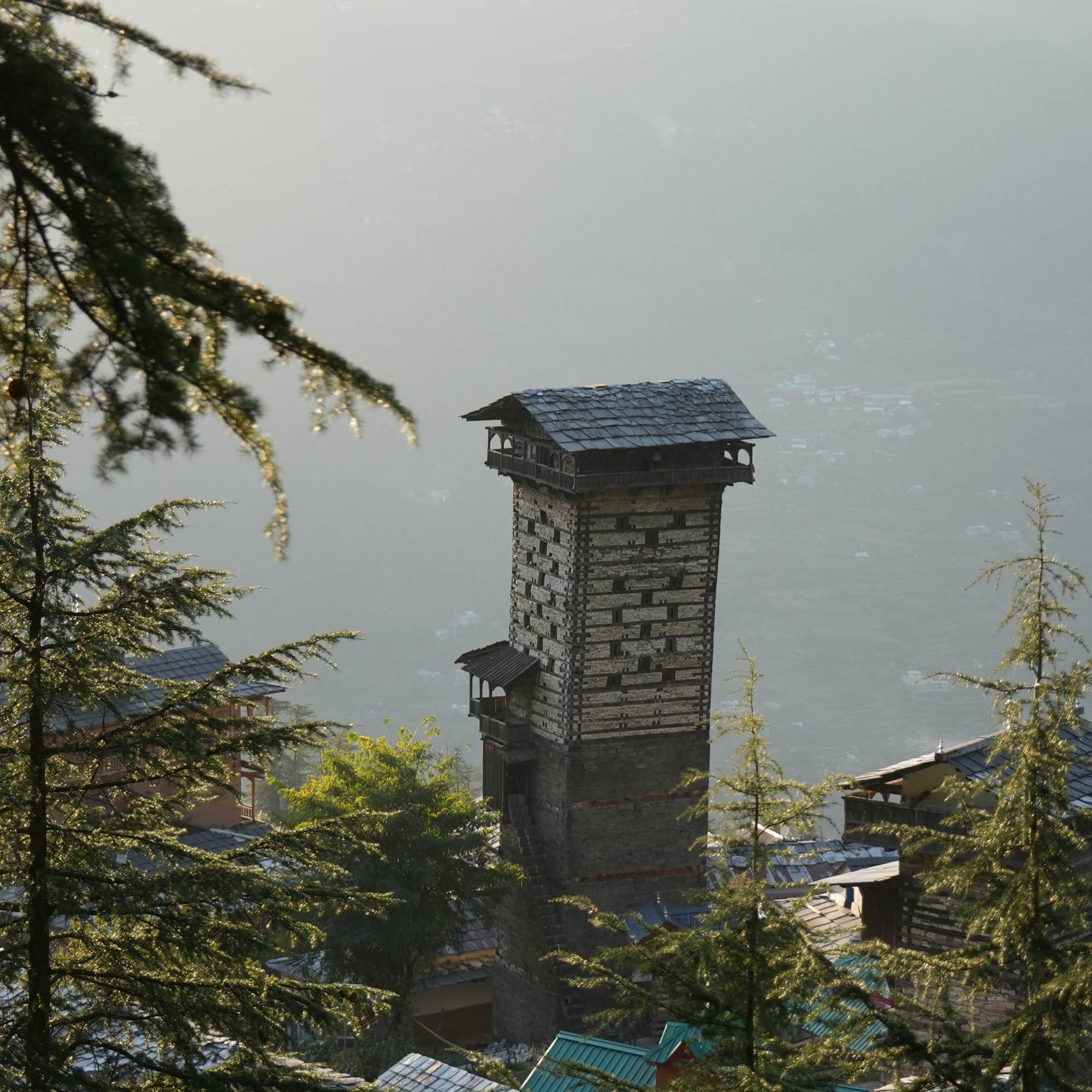
Chehni Kothi
~24 km from the pass
An unusual multi-storey traditional tower roughly 400 years old, in a village off the Banjar road.
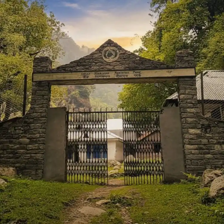
Great Himalayan National Park
Tirthan entry ~32 km from the pass
UNESCO World Heritage site covering the Tirthan, Sainj and Jiwa river catchments. Separate entry permits needed.
Our packages with Jalori Pass
Curated trips that include a visit to Jalori Pass.
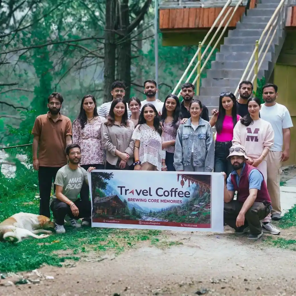 Group Tour5D/4N
Best Jibhi Tirthan Valley & Jalori Pass Weekend Tour From Delhi
1D Delhi •2D Tirthan Valley+1
₹5,999₹6,599SAVE INR 600/ person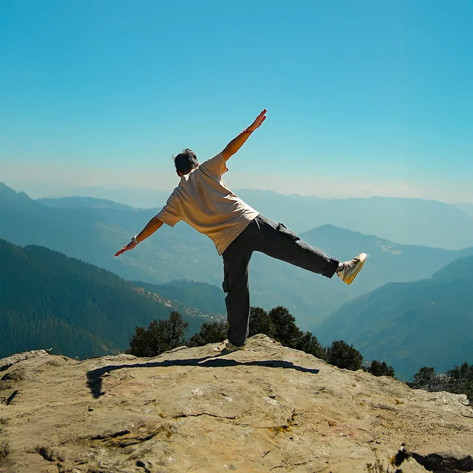 5D/4N
5D/4NJibhi Tirthan Valley & Jalori Pass Scenic Weekend Tour
1D Delhi•2D Jibhi+1
₹11,999₹15,999SAVE INR 4,000/ person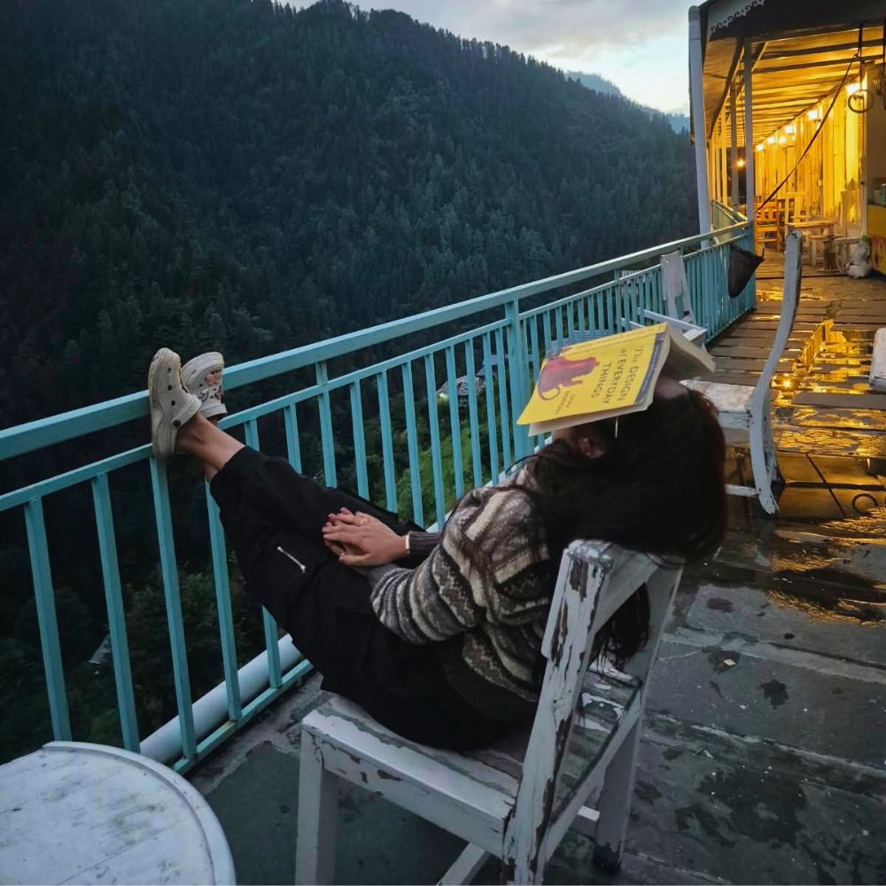 6D/5N
6D/5NBest Jibhi Tirthan Valley & Shangarh Meadows Trip
1D Delhi •2D Tirthan Valley+2
₹15,999₹19,999SAVE INR 4,000/ person
Frequently Asked Questions
What is the altitude of Jalori Pass?
Jalori Pass sits at 10,800 ft (~3,292 m). You will see slightly different numbers floating around online, but 10,800 ft is the figure to go by.
Is Jalori Pass open right now?
The pass is seasonal. Generally open April to November once the BRO has cleared the snow, and almost always closed through peak winter from January to March. The borderline months are November and April, where opening and closing dates shift every year with the weather. Confirm with your homestay or a Jibhi taxi driver the day before you plan to drive up.
Is Jalori Pass open in March?
Usually no. March still falls in peak winter and the pass is normally snowed in. Reopening depends on BRO clearance and tends to happen later — typically late March or April in a good year. Do not plan around March access. Attempting the drive with snow on the road is risky, and getting stuck on the steep last stretch is a real possibility. Recheck locally before you commit.
Can I reach Jalori Pass in December, January or February?
No. Through these months the pass is closed by heavy snow. If you want to see Jalori in snow, the safer way is to drive up to Shoja and walk the remaining 5 km with a local guide in lighter snow conditions.
How far is Jalori Pass from Jibhi?
About 14 km by road, roughly 1 hour in a small car or taxi. The climb is steep with continuous hairpin bends, and the last 3 km before the pass is rough. Small SUVs and local taxis manage fine; large vehicles and low-clearance sedans should think twice.
How do I reach Jalori Pass from Delhi?
From Delhi it is around 500 km and 12 to 14 hours of driving, usually broken with an overnight or an early-morning Volvo to Aut and a taxi onwards. The last turn off the Manali highway is at Aut, just before the tunnel, then it is roughly 30 km of climbing into the Banjar valley to Jibhi, and 14 km above that to the pass.
Can I drive my own car to Jalori Pass?
Yes, with caveats. The road is narrow, steep, runs on tight hairpin bends, and the last 3 km is rough. If you have real hill driving experience and a car with reasonable ground clearance, you can drive up. If you are not used to Indian mountain roads, hire a taxi from Jibhi for around ₹1,500 to ₹2,000 for a return trip — it is the standard, sensible choice.
What are the day hikes from Jalori Pass?
Three main walks. Serolsar Lake is 5 km each way, gentle and shaded, ends at a small sacred lake. Raghupur Fort is 3 km each way, steeper, ends at a ruined fort with bigger views. The 360 Viewpoint is the shortest and steepest, about 45 minutes up, best for a quick wide view.
How much time should I spend at Jalori Pass?
Most travellers spend half a day. Arrive by 10 or 11 AM, have tea, walk to the 360 Viewpoint, eat lunch at the dhabas, and drive back. A full day if you include the Serolsar or Raghupur trek. Not an overnight — there is no accommodation at the pass itself.
Can I stay at Jalori Pass?
No. Other than a forest rest house that occasionally operates and is often booked by officials, there are no hotels, guesthouses or homestays at the pass. Base in Jibhi or Shoja and drive up for the day.
Is there food and water at Jalori Pass?
Four or five tea stalls and small dhabas operate through the open season at the pass itself, serving rajma chawal, Maggi, omelettes, parathas and chai. Nothing fancy — prices are fair given how remote it is. Cash only, carry small notes.
Is there mobile network at Jalori Pass?
Patchy. BSNL usually works at the pass itself, Jio and Airtel sometimes do. Nothing reliable on the descent to the Anni side until you reach the lower villages. If you need to make a call, do it from the pass itself and do not plan around signal lower down.
Related guides
Posts about Jibhi
- Jibhi in December 2026: Snowfall, Weather, Road Status and Winter Guide
- Jibhi in October 2026: Weather, Road Conditions, Places and Trip Plan
- Jibhi in August 2026: Weather, Road Safety, Itinerary and Honest Advice
- Jibhi for Honeymoon in 2026: Why Couples Choose It Over Manali
- Best Things to Do in Jibhi for Couples in 2026: Romantic Places, Walks and Hidden Gems
- Jibhi or Kasol — Which Is Better? An Honest, No-Fluff Comparison