
Saru Lake
An 8 km ridge walk from the Chanshal Pass marker in Shimla district to a glacial lake basin at roughly 3,800 to 4,000 metres. Not the multi day Saru Tal expedition from Sankri in Uttarakhand. The trail crosses open alpine thach and seasonal snow patches over 4 to 5 hours, with zero infrastructure past the pass. You carry everything or you turn back.
- High Altitude Lake
- ~3,800 to 4,000 m
- Chanshal Ridge Walk
- 8 km one way
- 4 to 5 hours each way
- Shimla district
- Camping only
- Zero infrastructure
- Fully self sufficient
- June to October
What makes it special
First, a clarification that saves real confusion. This is Saru Lake reached by the 8 km ridge walk starting from the Chanshal Pass marker in Shimla district, Himachal Pradesh. It is not the Saru Tal that operators run as a gruelling 60 km multi day expedition out of Sankri in Uttarakhand. Same name, completely different trek, completely different commitment. If you are looking at a week long itinerary with forest camps and river crossings, you want the Sankri route. If you want a single day or overnight ridge walk from a motorable pass, you are in the right place.
The lake sits in a wide basin at roughly 3,800 to 4,000 metres in the upper Chanshal range, close to where Himachal Pradesh meets Uttarakhand. The trail starts from the Chanshal Pass signboard at about 3,750 metres and follows the ridgeline south, climbing past 3,600 metres and crossing a series of exposed ridges before dropping into the lake basin higher up. You cross 5 to 7 grassy summits over roughly 8 km, each one opening up a wider view of the range. The terrain is open alpine meadow, locally called thach, with wildflowers in June and July and golden tussock by late September. Depending on the season, you will also cross seasonal snow patches and small glacial remnants.
Here is what you need to understand before committing. The Chanshal ridgeline is completely wild and exposed. Past the pass, there is zero infrastructure. No chai stall, no trail marker, no water source, no shelter, no phone signal. You must be entirely self sufficient. That means packed food for the full day (two days if camping), enough water for the round trip (2 to 3 litres minimum per person) or a reliable filtration system, and windproof layers that can handle sustained cold gusts above 3,600 metres. A full first aid kit is not optional. If you are not prepared to carry everything on your back, this is not your trek.
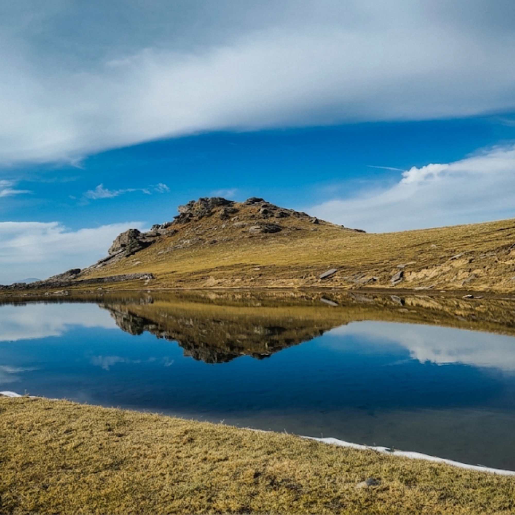
The lake itself is modest. It is not a large alpine lake like Chandratal or Pangong. It sits in a green depression ringed by grass covered slopes, and the water colour shifts between blue and grey green depending on the light. Local shepherds consider the water sacred. The basin around the lake is flat enough for camping, and spending a night here is honestly the best way to justify the effort of getting here.
Two approaches exist. The common route starts from the Chanshal Pass signboard and follows the ridgeline, an 8 to 10 hour round trip. The longer alternative starts from Gadsari village (about 24 km from Rohru, past Chirgaon), a 3 to 4 day trek through forest with camping at Kharshali village before reaching the lake. Most visitors take the Chanshal Pass route. A local guide is strongly recommended for either route, because the terrain is unmarked and several trekkers have lost their way in the past.
Honest framing. Saru Lake is for a specific kind of trekker. If you have done high altitude ridge walks before, are comfortable navigating open terrain above 3,600 metres, and find the idea of total self sufficiency appealing rather than alarming, this is one of the most rewarding day treks or overnight camps in the Pabbar Valley region. If you want defined trails, facilities, or the comfort of knowing help is nearby, this is not the one.
Quick answers
- What is Saru Lake?
- A glacial lake at roughly 3,800 to 4,000 metres in the Chanshal range, Shimla district. Reached by an 8 km ridge walk from the Chanshal Pass marker (about 3,750 metres), crossing open alpine thach and seasonal snow patches. 4 to 5 hours each way. This is the day trek from Chanshal Pass in Himachal, not the multi day Saru Tal expedition from Sankri in Uttarakhand. Zero infrastructure past the pass. Full self sufficiency required.
- How hard is the Saru Lake trek?
- The terrain is rolling alpine thach, not technical. No ropes, no scrambling. But the ridge climbs past 3,600 metres with the lake basin at 3,800 to 4,000 metres, the ridgeline is completely exposed to wind with zero shelter, and there are no trail markers anywhere. You need to carry all your own water, food, and windproof layers. Glacial patches may require careful footing in early season. A local guide is strongly recommended. Not for beginners.
- Can I camp at Saru Lake?
- Yes, and it is the best way to experience it. Flat grassy ground surrounds the basin. Bring everything: tent, sleeping bag rated for well below zero, stove, fuel, all food, and all water or a reliable filtration system (the lake water is reportedly not suitable for drinking). Expect strong wind by afternoon. Stake your tent properly.
Quick facts
Everything you need to know at a glance.
At a glance
- Altitude
- Lake basin at roughly 3,800 to 4,000 m (12,500 to 13,100 ft). The ridge walk climbs past 3,600 m throughout.
- Location
- Chanshal range, near the Himachal Pradesh Uttarakhand border. Shimla district.
- Trek distance
- About 8 km one way from the Chanshal Pass marker. 4 to 5 hours each way.
- Trek start
- Chanshal Pass signboard, about 48 km from Rohru.
- Access window
- Generally June to early October. Depends on Chanshal Pass opening.
- Time needed
- Full day for a return trek. Overnight camp recommended.
- Not to be confused with
- This is the 8 km Chanshal Pass ridge walk (Shimla district, HP), not the 60 km Saru Tal expedition from Sankri, Uttarakhand.
On the ground
- Mobile network
- None. Signal dies well before Chanshal Pass. The entire trek is completely offline.
- Drinking water
- None on the route or at the lake. Lake water is reportedly not drinkable. Carry all water from Rohru or Larot, or bring a reliable filtration system.
- Shelter
- None. No huts, no emergency cover. The ridgeline is fully exposed to wind and weather.
- Infrastructure past the pass
- Zero. No chai stall, no trail marker, no water, no shelter, no signal. Complete self sufficiency required.
- Guide
- Strongly recommended. No trail markers anywhere. Several trekkers have lost the way. Hire from Larot or Rohru.
- Camping
- Flat ground around the lake basin. Bring everything: tent, sleeping bag, stove, food, water. Nothing available on site.
- Medical
- None. Nearest hospital in Rohru, roughly 8 to 10 hours from the lake (trek plus drive). Carry a full first aid kit.
Seasonal weather
- June to July12°-2°Summer (Jun to Jul)
- August to September10°0°Late summer (Aug to Sep)
- October5°-8°Autumn (Oct)
- November to May-5°-20°Winter (Nov to May)
Suitable for
- Couples — with some care
- Families — not suitable
- Seniors — not suitable
- Solo — not suitable
- First-timers — not suitable
- Pet-friendly — not suitable
How to reach Saru Lake
2 approach routes, with seasonal access.
From Chanshal Pass (ridge trek)
Generally June to early October, subject to Chanshal Pass opening and snowmelt.- Distance
- About 8 km one way
- Time
- 4 to 5 hours one way. 8 to 10 hours round trip.
- Road
- Unmarked ridge trail over open alpine thach. No defined path. Rolling terrain crossing 5 to 7 ridges past 3,600 m, with the lake basin at roughly 3,800 to 4,000 m. Possible glacial and snow patches depending on season.
- Last fuel
- Not applicable (trek). Nearest fuel is Rohru.
Start from the Chanshal Pass signboard (roughly 3,750 metres). The route follows the ridgeline south, climbing past 3,600 metres and crossing a series of exposed grassy summits. There is no marked trail. Navigation is by ridge and sight, following the spine of the range toward the Uttarakhand border. You cross 5 to 7 summits over open alpine thach. Glacial patches and seasonal snow may need careful crossing in early season (June) or after heavy snowfall. The final approach drops into the wide basin where the lake sits at roughly 3,800 to 4,000 metres. Past the pass there is zero infrastructure: no water, no shelter, no signal. Carry everything you need. Start by 7 AM to allow enough daylight for the return. The return is the same route. A local guide hired from Larot or Rohru is strongly recommended.
From Gadsari Village (forest trek, longer route)
Generally June to October.- Distance
- About 20 km one way
- Time
- 3 to 4 days with camping
- Road
- Forest trail through dense deodar, then open meadows. Requires camping at Kharshali village en route.
An alternative approach starts from Gadsari village, about 24 km from Rohru past Chirgaon. This is a 3 to 4 day committed trek through forest and meadows, with camping at Kharshali village. The route eventually reaches Saru Lake and can connect to Chanshal Pass for the return. A local guide is essential for this route. For serious trekkers only.
Best time to visit
Season by season, so you can plan around the weather rather than hope.
- Recommended
Early summer
June to July
Wildflowers on the thach, long daylight, and the best trekking window.
- Temperature
- 0 to 12 degrees on the ridge. Below zero at night in the lake basin.
- Trail
- Mostly clear. Early June may have glacial patches on the higher ridges.
- Wildflowers
- Peak across the thach in late June and July.
- Wind
- Constant and cold on the exposed ridgeline. Windproof layers essential.
The Chanshal Pass road generally opens in May, but the ridge trek to Saru Lake is best from June onward when snowmelt has cleared most of the glacial patches. June brings wildflowers across the alpine thach. July is warmer but cloud cover increases as monsoon approaches. Daytime temperatures along the ridge hover around 5 to 12 degrees, with nights at the lake basin (3,800 to 4,000 metres) dropping well below zero. Wind is constant on the exposed ridgeline. This is the best trekking window, with the longest daylight and the most stable footing. Start early to avoid afternoon cloud.
Late summer and monsoon
August to September
Green thach but cloud, rain risk, and reduced visibility on the ridgeline.
- Temperature
- 0 to 10 degrees. Cold rain possible.
- Visibility
- Often poor. Cloud and fog on ridges.
- Trail
- Slippery grassland after rain. Navigation harder.
- Recommendation
- Late September is safer than August.
The grassland is at its greenest, but monsoon moisture brings cloud cover that can reduce visibility to near zero on the ridges. Rain is possible, making the grassy slopes slippery and the glacial crossings harder. Navigation becomes significantly more difficult in fog on an already unmarked route. Late September is better as the rain eases and skies begin to clear. Not ideal for a first attempt. Experienced trekkers with good navigation skills can still manage this window, but the exposed ridgeline offers no shelter if weather turns.
Autumn
October
Clear skies and golden thach, but a narrow window before snow.
- Temperature
- Minus 8 to 5 degrees.
- Skies
- Clearest of the year.
- Risk
- Early snow possible. Narrow window.
- Gear
- Full winter layers needed. Sub zero sleeping bag essential.
October brings the clearest skies and sharpest mountain views of the year. The thach turns golden brown. Temperatures drop hard, with nights at the lake basin approaching minus 8 or lower. The ridge walk in autumn light is worth it but cold. The window is narrow because early snow can block the route and close Chanshal Pass anytime from late October. Do not delay your return. Check pass status with locals before attempting.
- Closed
Winter
November to May
Snow covers the ridge and Chanshal Pass is closed.
- Access
- Not possible. Pass and ridge both closed.
- Temperature
- Well below minus 15.
Chanshal Pass closes with the first heavy snowfall, usually in November. The ridge to Saru Lake is buried under snow and the route is not navigable without serious mountaineering skills and gear. Not accessible for trekkers during this period.
Things to see & do
3 things worth your time at Saru Lake.
Ridge trek from Chanshal Pass to Saru Lake
8 to 10 hours round tripThe main event. Start from the Chanshal Pass signboard early in the morning and follow the ridgeline south across open alpine thach, crossing 5 to 7 exposed ridges. The terrain is rolling, not steep, but the altitude (climbing past 3,600 metres with the lake basin at roughly 3,800 to 4,000 metres) and the relentless wind make it physically demanding. There is no marked trail. Navigation is by ridge and sight. In clear weather, you can spot the lake basin from a distance as you approach the final descent. Glacial patches in early season require careful footing. The Chanshal ridgeline has zero infrastructure past the pass: no water, no shelter, no signal. Carry all water (at least 2 to 3 litres per person), packed food, windproof layers, and a first aid kit. A windbreaker is not negotiable. Start by 7 AM. Hire a local guide from Larot or Rohru.
Camp overnight at the lake basin
OvernightCamping at Saru Lake is the best way to make the trek worth the effort. The basin around the lake has flat, grassy ground for pitching tents. You need to be fully self sufficient: tent, sleeping bag rated for minus 10 or colder, stove, fuel, food, and at least 3 litres of water per person or a filtration system (the lake water is reportedly not drinkable). Wind picks up hard in the afternoon, so stake your tent well and look for a spot in the bowl of the basin that offers any natural wind shelter. Mornings at the lake are cold and still, and the light on the grass and water in the first hour after sunrise is the payoff for every gram you hauled up.
Photography on the ridgeline
Throughout the trekThe ridge walk offers some of the most open, unobstructed mountain photography in Shimla district. Every summit gives you a different angle on the Chanshal range. The thach changes colour with the season: green with wildflowers in June and July, golden brown by September and October. The lake is best photographed from above during the final approach, sitting in its green basin with peaks stacked behind it. Early morning and late afternoon light work best. A wide angle lens earns its keep here.
Know before you visit Saru Lake
The practical bits, from people who have been.
The trek and what it demands8 km each way, ridge climbs past 3,600 m, lake at 3,800 to 4,000 m. No trail, no shelter, no water. Guide strongly recommended. Complete self sufficiency required.
The trek from Chanshal Pass to Saru Lake is about 8 km each way across open, exposed ridgeline. It is not technically difficult. No ropes, no scrambling, no climbing. But it is physically demanding because the ridge climbs past 3,600 metres with the lake basin sitting at roughly 3,800 to 4,000 metres, the wind exposure is constant, and there is no trail. You walk on grass, over open ridges, navigating by sight across alpine thach. In fog or cloud, orientation becomes genuinely difficult, and several trekkers have reported getting lost on this route.
The Chanshal ridgeline past the pass is completely wild. There is zero infrastructure. No water source, no shelter, no trail marker, no phone signal. You must be entirely self sufficient. That means carrying all your food, enough water for the full round trip (or a reliable filtration system), windproof layers that can handle sustained cold gusts at altitude, and a first aid kit. If you are not prepared for that, this is the wrong trek.
A local guide is not optional if this is your first time. Hire one from Larot or Rohru. The cost is modest and the value is enormous. Your guide knows which ridges to follow, where the glacial patches are safest to cross, and how to read the weather.
Start from the Chanshal Pass signboard by 7 AM at the latest. You need daylight for the return. If clouds roll in by early afternoon (common during monsoon months), you want to be heading back, not still walking toward the lake.
Who Saru Lake suits and who should skip itFor fit, experienced mountain trekkers comfortable with altitude and self sufficiency. Not for beginners, families, seniors, or first time Himachal visitors.
Will appreciate it. Experienced trekkers who enjoy ridge walks and high altitude solitude. Photographers looking for open mountain landscapes without other people in the frame. Adventure riders and drivers already at Chanshal Pass who want a reason to stay longer. Campers comfortable with complete self sufficiency at altitude.
Should skip it. Beginners who have not trekked above 3,000 metres before. Families with children. Senior travellers. Anyone not comfortable with sustained physical effort at altitude on exposed terrain. Solo trekkers without a guide (the route is unmarked and losing your way is a real risk). Anyone who cannot carry all their own water, food, and gear for the full round trip.
Pets. No. The altitude, the terrain, the lack of water sources, and the cold make this unsuitable for animals.
What to carryEverything. There is zero infrastructure past the pass. Full self sufficiency required.
Water: at least 2 to 3 litres per person, or a reliable water filtration system (no drinkable water on the route or at the lake). Packed food for the full day, or two days if camping. Windproof jacket and warm layers, including a fleece or down jacket. The ridgeline gusts can drop the effective temperature close to zero even in July. Gloves and a beanie. Sunscreen (SPF 50) and UV sunglasses. Trekking poles (the grassy terrain is deceptive on the knees over 8 km each way). A torch or headlamp with spare batteries. A basic first aid kit with painkillers, ORS, and bandages. Offline maps downloaded to your phone. A fully charged power bank. If camping: tent, sleeping bag rated for minus 10 or colder, sleeping mat, stove and fuel, cooking utensils. A trash bag to carry out everything you bring in.
Safety and altitude realityLake basin at 3,800 to 4,000 m, ridge above 3,600 m throughout. Ridgeline fully exposed. No medical help. Weather changes fast. No rescue.
The lake basin sits at roughly 3,800 to 4,000 metres, and the ridge walk itself stays above 3,600 metres throughout. If you have driven up from the plains to Chanshal Pass in a day or two, your body may not be acclimatised. Mild headaches and breathlessness on exertion are common at this altitude. If symptoms worsen (severe headache, nausea, confusion, loss of coordination), descend immediately. Do not push to the lake if you are feeling unwell at the pass.
Weather at this altitude changes fast. A clear morning can turn to fog, rain, or even snow by afternoon, especially during monsoon months. The ridgeline is completely exposed, with no shelter anywhere along the route. If visibility drops, navigation becomes extremely difficult because there is no trail. Turn back early if the weather looks uncertain.
There is no rescue infrastructure. No helicopter pad, no patrol, no phone signal. If someone is injured, they need to be walked back to the Chanshal Pass road (4 to 5 hours minimum), then driven to Rohru (3 to 5 hours more) for the nearest hospital. Travel in a group of at least 3 people. Carry a first aid kit. Let someone at your last accommodation know your plan and expected return time.
Nearby attractions
Other places worth the detour.
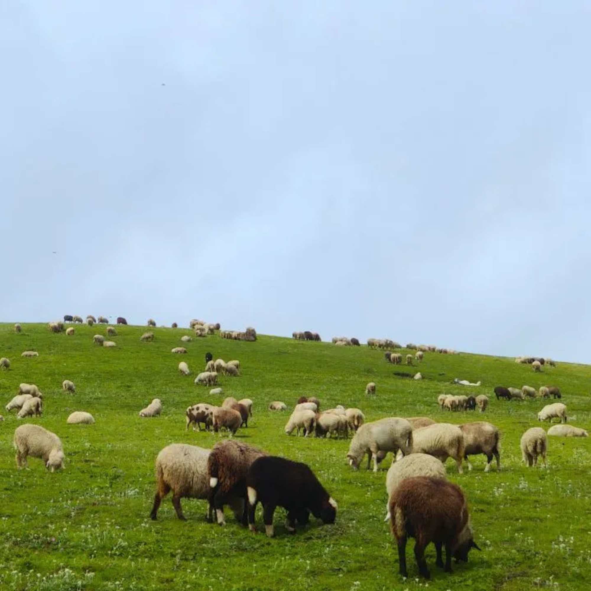
Chanshal Pass
Trek start point (about 8 km from the lake)
The highest motorable pass in Shimla district at roughly 3,750 metres. The starting point for the Saru Lake ridge trek. Wide grassy meadows and open Himalayan views. 4x4 or adventure motorcycle recommended for the drive from Rohru. No facilities at the pass.
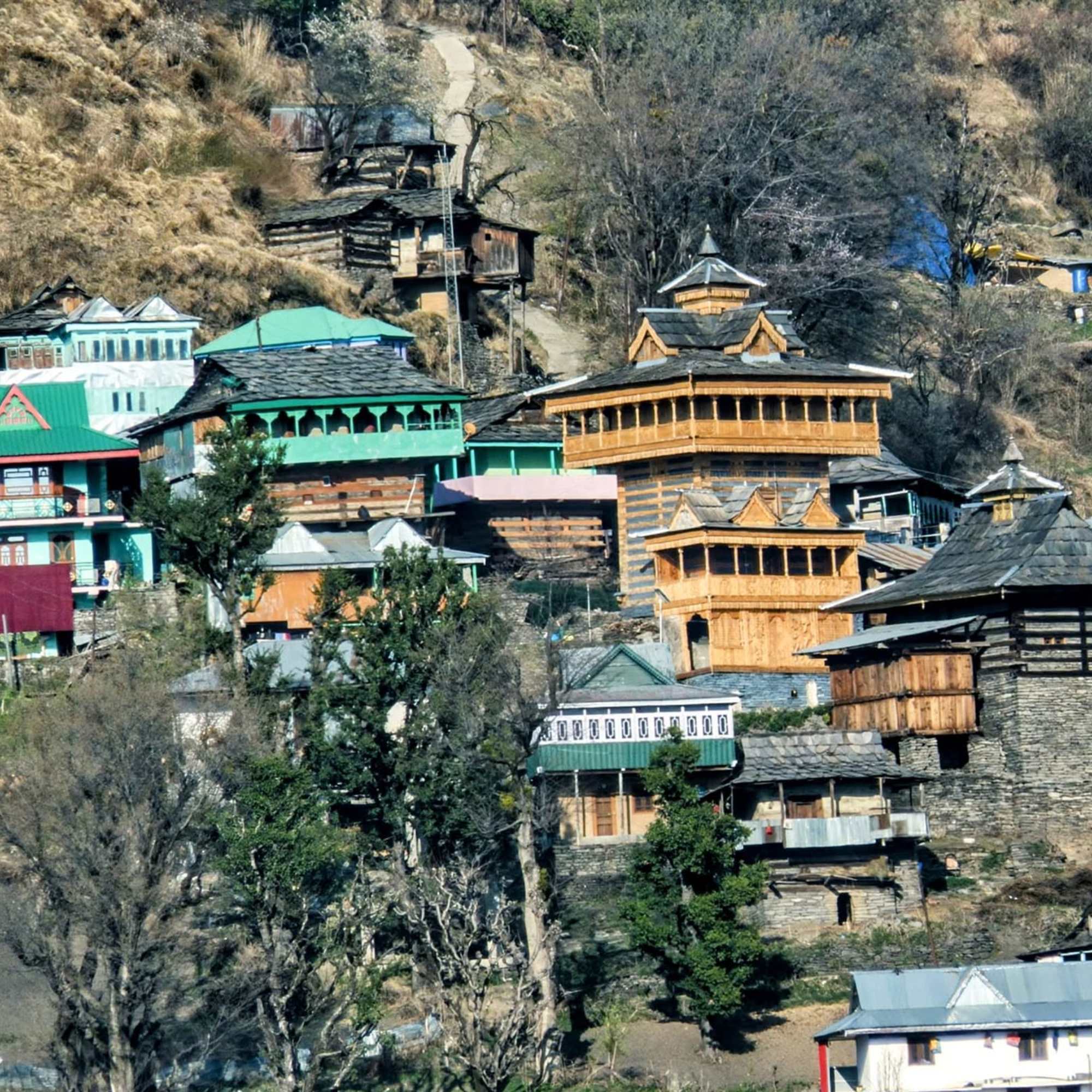
Larot Village
About 15 km from Chanshal Pass (by road)
The last village before Chanshal Pass at roughly 2,100 metres. Basic homestays and seasonal camps. The practical overnight base before a Saru Lake trek. Hire your guide here. No ATM, no fuel, no reliable signal.
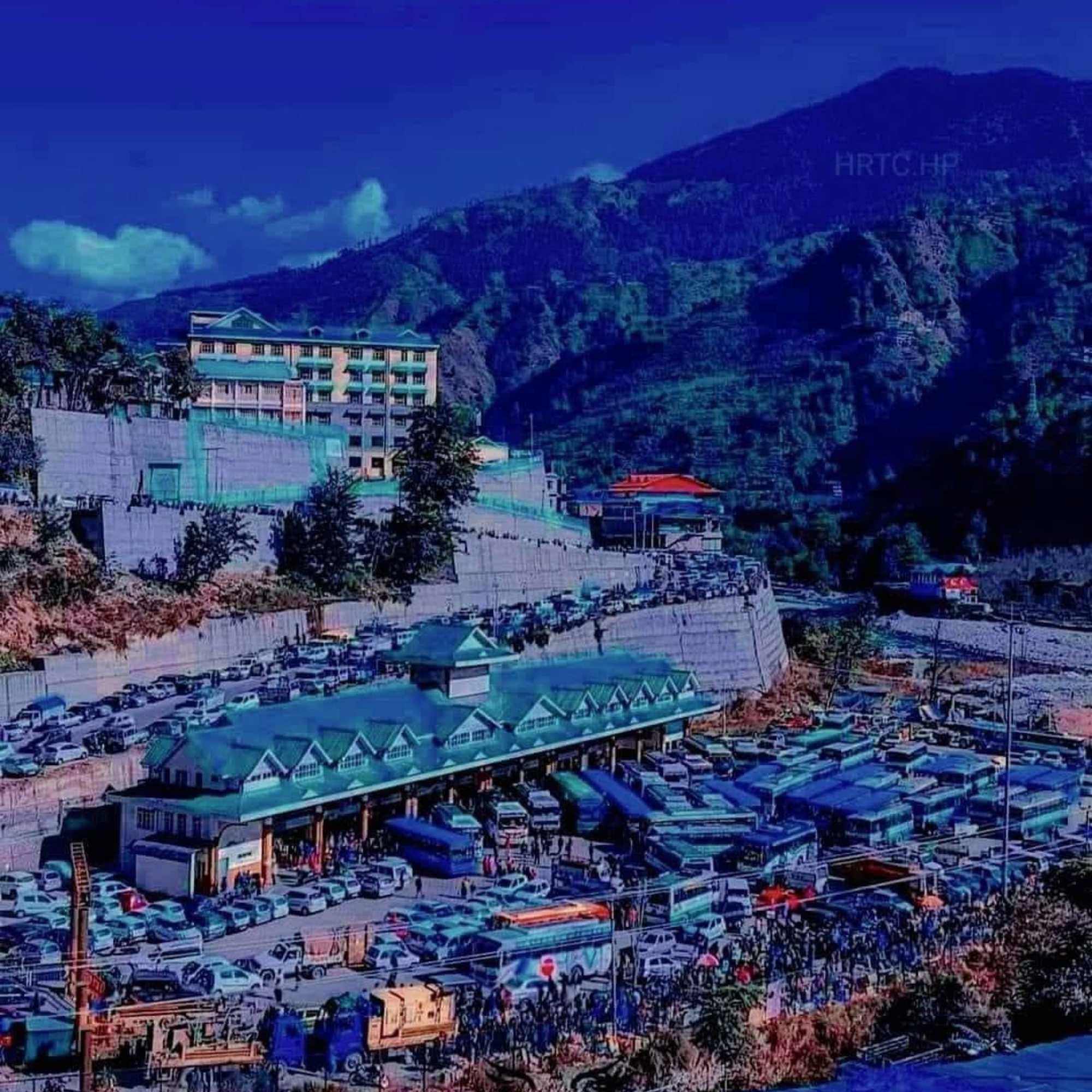
Rohru
About 48 km from Chanshal Pass (by road)
The main town of the Pabbar Valley. Last ATM, fuel, hospital, and proper supplies before the upper valley. Budget hotels and HPTDC rest house. Stock up on everything here before heading to Chanshal Pass and Saru Lake.
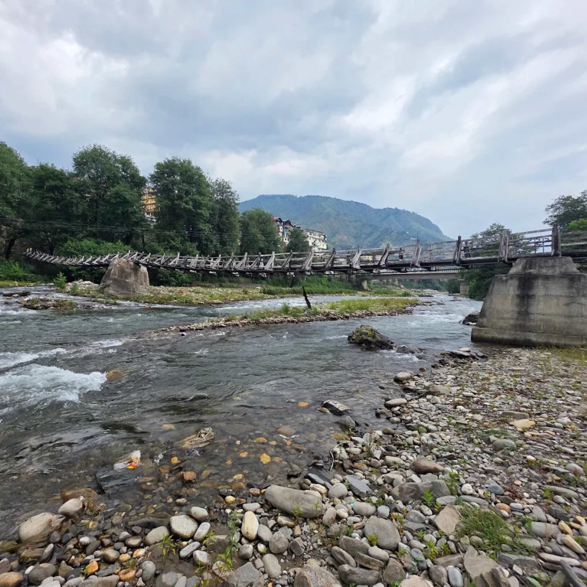
Pabbar Valley
The wider valley containing Rohru and the approach route
A river valley stretching from Shimla district's apple country through Rohru to the Chanshal range. Trout fishing, apple orchards, and the road to Chanshal Pass. Saru Lake sits in the upper reaches of this valley system.
Chandranahan Lake
Separate trek from Rohru area (multi day)
Another high altitude lake in the Chanshal range at roughly 4,267 metres, considered the source of the Pabbar River. A more committed multi day trek. Often compared with Saru Lake, though it is higher, harder to reach, and more established as a trekking destination.
Our packages with Saru Lake
Curated trips that include a visit to Saru Lake.
 Group Tour5D/4N
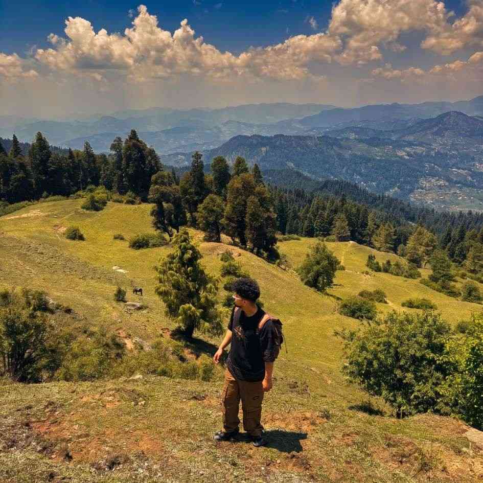
Chanshal Pass Weekend Group Trip With Giri Ganga and Kuppar Bugyal
1D Kharapathar / Kotkhai•1D Rohru / Chirgaon (Pabbar Valley)
₹8,999₹12,999SAVE INR 4,000/ person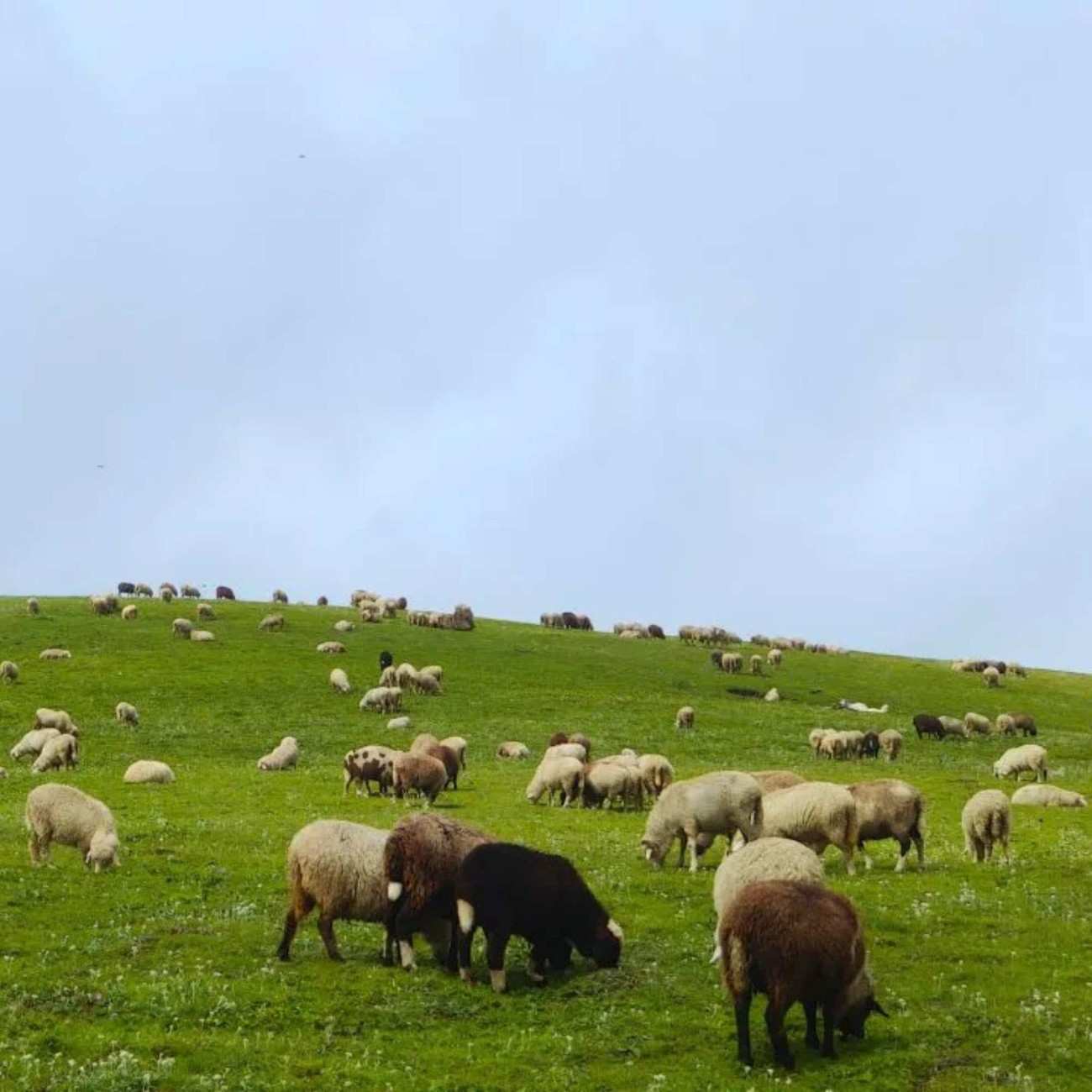 8D/7N
8D/7NMost Loved 4x4 Pabbar Valley Expedition With Giri Ganga Kuppar Bugyal Chanshal Pass and Dodra Kwar
1D Kharapathar / Kotkhai•2D Rohru / Chirgaon (Pabbar Valley)+1
₹32,999₹39,999SAVE INR 7,000/ person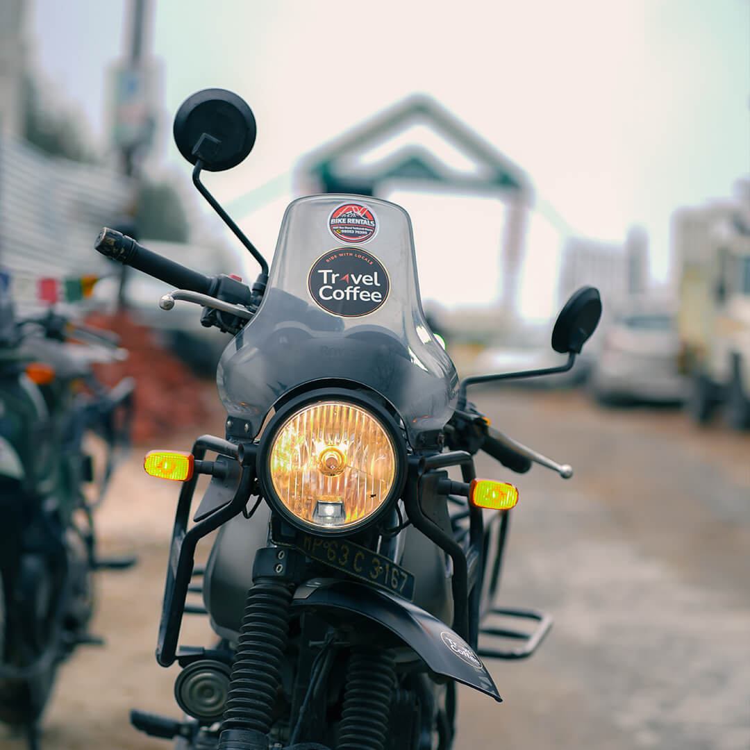 8D/7N
8D/7NUltimate Pabbar Valley Bike Expedition With Giri Ganga Kuppar Bugyal Chanshal Pass and Dodra Kwar
1D Kharapathar / Kotkhai•2D Rohru / Chirgaon (Pabbar Valley)+1
₹29,999/ person
Frequently Asked Questions
What is Saru Lake?
A glacial lake at roughly 3,800 to 4,000 metres in the Chanshal range, Shimla district. Reached by an 8 km ridge walk from the Chanshal Pass marker (about 3,750 metres), crossing open alpine thach and seasonal snow patches. 4 to 5 hours each way. This is the day trek from Chanshal Pass in Himachal, not the 60 km multi day Saru Tal expedition from Sankri in Uttarakhand. No facilities. Camping with own gear. Full self sufficiency required. Best June to early October.
Is this the same as the Saru Tal trek from Sankri?
No. The Saru Lake trek from Chanshal Pass is an 8 km ridge walk (4 to 5 hours each way) starting from a motorable pass in Shimla district, Himachal Pradesh. The Saru Tal expedition from Sankri in Uttarakhand is a roughly 60 km multi day trek through forest and river valleys, typically taking 5 to 7 days. Same lake name, completely different routes and commitment levels.
How long is the Saru Lake trek?
About 8 km one way from the Chanshal Pass signboard. Plan 4 to 5 hours each way. The round trip takes 8 to 10 hours of walking. Start by 7 AM to have enough daylight for the return.
Is the Saru Lake trek difficult?
The terrain is rolling alpine thach, not steep or technical. But the ridge climbs past 3,600 metres with the lake basin at 3,800 to 4,000 metres, the ridgeline is completely exposed to wind with zero shelter, and there are no trail markers anywhere. You need to carry all your own water, food, and windproof layers. A local guide is strongly recommended. Not for beginners.
Do I need a guide for Saru Lake?
Strongly recommended, especially for first timers. The route has no trail markers, no signage, and no defined path. In fog or cloud, orientation becomes very difficult. Trekkers have gotten lost here. Hire a guide from Larot or Rohru. The cost is modest.
Can I camp at Saru Lake?
Yes, and camping overnight is the best way to experience the lake. The basin has flat grassy ground for pitching tents. You need to be completely self sufficient: tent, sleeping bag rated for well below zero, stove, fuel, food, and all your water or a filtration system (the lake water is reportedly not suitable for drinking). Stake your tent well because the wind is strong.
Is the lake water drinkable?
Reports indicate the lake water is not suitable for drinking. Carry all your drinking water from Rohru or Larot, or bring a reliable water filtration system. Plan for at least 2 to 3 litres per person for the day trek, more if camping overnight.
How do I reach the trek starting point?
Drive from Rohru to Chanshal Pass (about 48 km, 3 to 5 hours on rough mountain road). The trek starts from the Chanshal Pass signboard. A 4x4 or adventure motorcycle is strongly recommended for the drive. Fill fuel at Rohru. Most trekkers base in Larot (15 km below the pass) the night before and drive to the pass at first light.
What is the best time to trek to Saru Lake?
Late June to early July for wildflowers and stable weather. Late September for clearer skies after the monsoon. October for the best views but cold temperatures and a narrow window before snow. Avoid August unless experienced with monsoon trekking. The trek depends on Chanshal Pass being open, which is generally May to October.
Is Saru Lake suitable for families?
No. The ridge climbs past 3,600 metres with the lake at 3,800 to 4,000 metres, the 8 to 10 hour round trip, the completely exposed ridgeline with zero infrastructure, and no medical help within many hours make this unsuitable for families with children or anyone without high altitude trekking experience.
Is there mobile signal at Saru Lake?
No. There is no mobile signal at the lake, on the trek route, or at Chanshal Pass. The last intermittent signal (BSNL only) is around Larot. Download offline maps before leaving Rohru. Let someone know your plan and expected return time.
What should I carry for the Saru Lake trek?
Water: at least 2 to 3 litres per person or a reliable filtration system. Packed food for the full day. Windproof jacket, warm layers including fleece or down. Gloves, beanie. Sunscreen (SPF 50) and UV sunglasses. Trekking poles. Torch or headlamp. First aid kit. Offline maps. Power bank. If camping: tent, sleeping bag rated for minus 10, sleeping mat, stove and fuel, cooking gear, trash bag.
Related guides
Posts about Shimla
- Shimla Snow Trip 2026: Best Time, Itinerary, Cost and Local Tips
- Shimla in February 2027: Weather, Snowfall, Itinerary and Travel Tips
- Snow Point Near Shimla in 2026: Kufri, Fagu, Narkanda and the Best Places to Find Snow
- Shimla Honeymoon Guide 2026: Best Time, Itinerary, Cost and Romantic Places
- Shimla Kufri Chail Narkanda Tour 2026: Complete 6 Day Itinerary, Cost and Road Guide
- Shimla to Kasol Distance, Route, Bus and Taxi Guide 2026