
Chanshal Pass
A high altitude pass above Rohru in the Pabbar Valley where the sealed road gives up, the terrain turns to gravel and wildflower meadows, and you are standing at roughly 3,750 metres on the highest motorable crossing in Shimla district with nothing but open sky and the Chanshal range in every direction
- High Altitude Pass
- ~3,750 m
- Pabbar Valley, Shimla district
- 48 km from Rohru
- 4x4 recommended
- May to Oct
- Meadows and ridgelines
- No facilities at top
- Off road adventure
- Dodra Kwar gateway
What makes it special
Chanshal Pass is not a tourist attraction in any conventional sense. There is no ticket counter, no viewpoint railing, no chai stall at the top (though one sometimes appears in peak season). It is a high mountain crossing at roughly 3,750 metres, sitting on the spine of the Chanshal range above the Pabbar Valley, connecting Rohru to the remote Dodra Kwar valley on the other side. Most people who come here come for the road itself, which is the real experience.
Here is what you actually need to understand before you go. The 48 km from Rohru to the pass take anywhere from three to five hours, depending on road conditions, your vehicle, and how many times you stop to question your decisions. The first stretch from Rohru through Chirgaon is manageable, running through apple orchards and small Himachali villages along the Pabbar River. The landscape is green and pleasant. After Chirgaon, the road narrows, climbs harder, and the surface starts deteriorating. By Larot, the last proper village before the pass (roughly 15 km short of the top), you are on a road that barely qualifies as one. Loose gravel, mud sections in the wet months, water crossings from snowmelt, and steep switchbacks with no guardrails. This is not a drive for sedan cars, nervous drivers, or anyone who treats Google Maps travel time estimates as reliable.
The pass itself is a wide, open saddle on the ridge. Grassy meadows spread out on both sides, wildflowers come through in June and July, and the views extend across the Chanshal range. On a clear day, you can see snow peaks in multiple directions. The wind is constant and cold, even in summer. Most people spend 30 minutes to an hour at the top, walk the meadows, take photos, and head back down. There is nothing to buy, nothing to eat (usually), and no shelter. You bring what you need or you go without.
Chanshal Peak, the highest point in Shimla district at roughly 4,520 metres, rises near the pass and is reachable as a trek from the top. The meadows around the pass and the ridgelines extending from it offer some of the most open, uncrowded high altitude walking in Himachal, though these are not marked trails and you need to be self sufficient.
The road beyond the pass drops into the Dodra Kwar valley, one of the most isolated inhabited valleys in Himachal Pradesh. Dodra and Kwar are tiny hamlets with almost no tourist infrastructure, connected to the outside world by this single road and a long trek route from the Tons valley side. Most visitors to Chanshal Pass turn around at the top and drive back to Rohru or Larot. Going all the way through to Dodra Kwar is a full expedition, requiring time, fuel planning, and a genuine comfort with remote mountain roads.
Honest framing. Chanshal Pass is a destination for people who enjoy the drive as much as the arrival. If you like sitting in a comfortable vehicle on smooth roads and reaching a well organised viewpoint, this is not your place. If you like the feeling of climbing a rough mountain road through changing landscapes, earning the altitude kilometre by kilometre, and standing on an open ridge with nobody else around, Chanshal is one of the best experiences you can have within a weekend from Shimla or Chandigarh.
Quick answers
- What is Chanshal Pass?
- A high altitude motorable pass at roughly 3,750 metres in Shimla district, Himachal Pradesh. It connects Rohru in the Pabbar Valley to the remote Dodra Kwar valley. The highest motorable crossing in the district. About 48 km from Rohru via Chirgaon and Larot, mostly on rough, unpaved road. Wide grassy meadows and open Himalayan views at the top. No facilities. Generally accessible from around May to October.
- Do I need a 4x4?
- Strongly recommended. The road from Larot to the pass (about 15 km) is unpaved, steep, and includes loose gravel, mud, and water crossings. A 4x4 SUV or a capable adventure motorcycle handles it. A 2WD car can technically make it in dry conditions, but getting stuck with no rescue nearby is a real risk.
- How much time do I need?
- A full day from Rohru, including the drive up, time at the pass, and the drive back. Most people base in Rohru or Larot the night before and start early. From Shimla, plan at least two days: one for the drive to Rohru, one for the pass round trip. Three days is more comfortable.
Quick facts
Everything you need to know at a glance.
At a glance
- Altitude
- Approximately 3,750 m (12,300 ft) at the pass. Chanshal Peak nearby is roughly 4,520 m.
- Location
- Above Rohru, Pabbar Valley, Shimla district, Himachal Pradesh.
- Distance from Rohru
- About 48 km. 3 to 5 hours driving depending on road conditions.
- Distance from Shimla
- About 160 to 180 km depending on route. 6 to 8 hours.
- Open season
- Generally May to October, depending on snowfall. Confirm locally before travelling.
- Entry fee
- None.
- Time needed
- Full day from Rohru. 2 to 3 days from Shimla or Chandigarh.
On the ground
- Road condition
- Decent till Rohru. Narrow and patchy to Larot. Unpaved, steep, and rough from Larot to the pass. 4x4 recommended.
- Mobile network
- BSNL intermittent around Larot. Other networks dead beyond Rohru. Treat the pass as offline.
- ATM
- Last ATM in Rohru. Carry enough cash for the full trip.
- Fuel
- Last fuel pump in Rohru. Fill completely before leaving. No fuel between Rohru and the pass.
- Food
- Nothing at the pass. Basic dhabas in Larot. Proper food in Rohru. Carry snacks and water.
- Accommodation
- Nothing at the pass. Basic homestays and camps at Larot. Hotels and guesthouses in Rohru.
- Permits
- None required.
- Safety
- No medical facility beyond Rohru. Carry first aid, warm clothes, and extra fuel.
Seasonal weather
- May to June15°0°Summer (May to Jun)
- July to September12°2°Monsoon (Jul to Sep)
- October to November8°-5°Autumn (Oct to Nov)
- December to April0°-15°Winter (Dec to Apr)
Suitable for
- Couples — suitable
- Families — not suitable
- Seniors — not suitable
- Solo — suitable
- First-timers — not suitable
- Pet-friendly — not suitable
How to reach Chanshal Pass
3 approach routes, with seasonal access.
From Rohru (via Chirgaon and Larot)
Generally May to October, subject to snowfall.- Distance
- About 48 km
- Time
- 3 to 5 hours one way
- Road
- Mixed. Paved to Chirgaon, narrow and broken to Larot, unpaved and rough from Larot to the pass.
- Last fuel
- Rohru (last fuel pump)
From Rohru, follow the road along the Pabbar River toward Chirgaon (about 15 km). This section passes through apple orchards and small villages. After crossing the Chirgaon bridge, the road narrows and starts climbing. From Chirgaon through Tikkri to Larot (about 17 km more), the surface is rough in places with ongoing widening work. Larot is the last village with any facilities. From Larot to the pass (about 15 km), the road is unpaved, steep, and includes loose gravel, mud sections in early season, and water crossings from snowmelt. Go slow. A capable, high clearance vehicle is essential here, and it has to be paired with steady, experienced mountain driving. One without the other is not enough.
From Shimla (via Theog, Kotkhai, Hatkoti, Rohru)
Year round to Rohru. Beyond Rohru, generally May to October.- Distance
- About 160 km
- Time
- 6 to 8 hours to Rohru, then 3 to 5 hours to the pass
- Road
- State highway to Rohru, then rough mountain road.
- Last fuel
- Shimla, Theog, Rohru
The shorter route from Shimla goes through Theog, Kotkhai, Kharapathar, Hatkoti, and then Rohru. Road quality is mixed. The Theog to Kharapathar section has rough stretches. An alternate route via Narkanda and Tikkar is slightly longer (about 175 km) but some riders and drivers prefer the road quality. Either way, plan to reach Rohru by late afternoon. Stay overnight in Rohru, and start for the pass early the next morning.
From Delhi or Chandigarh
Year round to Rohru. Beyond, May to October.- Distance
- About 350 km from Chandigarh, 520 km from Delhi to Rohru
- Time
- 2 to 3 days total
- Road
- Highway to Shimla area, then mountain roads.
- Last fuel
- Multiple stops on the highway, Shimla, Rohru
From Delhi or Chandigarh, drive to Shimla or take the direct route via Solan, Theog, and onward to Rohru. The Shimla bypass saves time if you do not need to stop in town. Plan at least one night in Rohru before attempting the pass. Coming from the Uttarakhand side via Dehradun, Chakrata, Tiuni, and Hatkoti is another option for loop trips. This route is longer and the stretch near Tiuni has rough patches, but it avoids retracing your path.
Best time to visit
Season by season, so you can plan around the weather rather than hope.
Late May to June
Late May to June
Snow clearing, slush on the road, but the meadows start opening up.
- Temperature at pass
- 0 to 15°C. Wind chill makes it colder.
- Road
- Clearing. Slush and water crossings likely.
- Crowds
- Very few.
- Best for
- Snow views with green meadows. Early season adventure.
The road to the pass generally opens sometime in May, though the exact date depends on snowfall and BRO clearance work. Early season means lingering snow patches, water crossings from snowmelt, and mud that can make the Larot to pass section very challenging. Late May and June are better, with the road drying out and the meadows beginning to green up. Wildflowers start appearing. Daytime temperatures at the pass hover around 5 to 15 degrees, but the wind makes it feel colder. Nights at Larot drop to near zero. Go prepared for slush and be ready to turn back if conditions are bad.
July to September
July to September
Wildflowers and green meadows, but monsoon makes the road unpredictable.
- Temperature at pass
- 2 to 12°C.
- Road
- Muddy and slippery after rain. Landslide risk.
- Crowds
- Low.
- Best for
- Wildflowers and photography. High risk tolerance needed.
The meadows around the pass are at their greenest and the wildflowers peak in July. The views are excellent on clear days. But monsoon rain makes the already rough road worse. Mud, slush, and small landslides are common. The Larot to pass section can become very tricky after heavy rain. Cloud cover sometimes blocks the mountain views entirely. Late September is better as the rain eases and the road firms up. If you go during active monsoon, be prepared for road delays and carry extra supplies.
- Recommended
October
October
Clear skies, dry road, autumn colours. The best window if the pass is still open.
- Temperature at pass
- -5 to 8°C.
- Road
- Driest of the season. Firm surface.
- Crowds
- Very few.
- Best for
- Photography, clear views, stable driving.
October is when the road is usually at its driest and most stable after the monsoon. Clear skies mean the mountain views are at their sharpest. The meadows turn golden brown. Temperatures drop noticeably, with nights at the pass approaching minus 5 or lower. The window is narrow because early snow can close the pass anytime from late October onward. If the road is still open and the weather cooperates, this is the best month.
- Closed
November to April
November to April
Heavy snow. The pass is closed and the road is not maintained.
- Temperature at pass
- -15 to 0°C.
- Road
- Closed. Snow covered. Not maintained.
- Access
- Not possible by vehicle.
Snow covers the pass from November onward, and the road from Larot is not maintained or cleared during winter. The pass is effectively closed until the following May. Even Larot can be hard to reach in deep winter. Do not attempt Chanshal Pass in winter unless you are on a planned snow trek with full gear and local knowledge. The road is not drivable.
Things to see & do
3 things worth your time at Chanshal Pass.
Drive or ride to the pass
3 to 5 hours one way from RohruThis is the main event. The 48 km road from Rohru to the pass is an experience in itself, climbing from apple orchard country through deodar forest to open alpine meadows. The last 15 km from Larot are the roughest and most rewarding. Water crossings, loose gravel, steep hairpins with no guardrails, and views that open up with every switchback. Stop at the meadows above Larot where the treeline thins out and the Chanshal range becomes fully visible. For motorcycle riders, this is one of the best off road stretches within weekend distance of Shimla or Chandigarh. Start early from Rohru. Give yourself plenty of daylight. Do not drive this road after dark.
Walk the meadows at the top
30 minutes to 2 hoursThe pass itself is a wide saddle with grassy meadows on both sides. In June and July, wildflowers come through in patches of yellow, purple, and white. The ground is soft and springy underfoot. Walk in any direction for open views of the Chanshal range and, on clear days, distant snow peaks. There are no marked trails, so wander at your own pace. The altitude at 3,750 metres means you will feel the thin air if you try to walk fast. Go slow. Carry a windbreaker because the wind at the top is constant and cold.
Continue to Dodra Kwar (full expedition)
Full day or multi dayBeyond the pass, the road drops into the Dodra Kwar valley, one of the most remote inhabited valleys in Himachal. Dodra and Kwar are tiny hamlets with almost no facilities. The road on the far side is even rougher than the approach. This is not a casual extension. You need a capable vehicle, extra fuel (there is no pump for the entire stretch), food and water, and the willingness to be completely off grid for a day or more. Most visitors turn around at the pass. Going through is for experienced mountain travellers who plan ahead.
Know before you visit Chanshal Pass
The practical bits, from people who have been.
The road reality48 km from Rohru, 3 to 5 hours. Last 15 km unpaved. 4x4 recommended. No rescue, no lights, no guardrails.
The drive from Rohru to Chanshal Pass is about 48 km but takes three to five hours depending on conditions. The first section to Chirgaon (about 15 km) is passable for most vehicles. After Chirgaon, the road narrows and deteriorates through Tikkri to Larot. The final 15 km from Larot to the pass is the hardest: unpaved, steep, loose gravel, mud in wet months, and water crossings from snowmelt.
A 4x4 SUV or a capable adventure motorcycle is strongly recommended. A 2WD car can technically make it in dry conditions, but if you get stuck, there is almost no traffic and no rescue service. The nearest mechanic is in Rohru. Sedans and low clearance vehicles should not attempt this road.
Start early from Rohru or Larot. Give yourself at least three hours for the ascent and two for the return. Do not drive this road after dark. There are no streetlights, no guardrails, and the drops are real.
Road conditions change every year and every season. What was passable in October may be a mud pit in June. Ask locals in Rohru or Larot about current conditions before you go.
Who Chanshal Pass suits and who should skip itFor off road enthusiasts, riders, and self sufficient travellers. Not for families, seniors, or first timers.
Will love it. Motorcycle riders and off road enthusiasts. Self sufficient road trippers who enjoy rough mountain driving. Photographers who want high altitude meadows without the crowds of Rohtang or Atal Tunnel. People who find more satisfaction in the journey than the destination.
Should skip it. Families with small children. The road is rough, the altitude is real, and there are no medical facilities anywhere near the pass. Senior travellers unless they are very fit and comfortable with high altitude and bumpy roads. First time Himachal visitors who would get more from a well serviced destination. Anyone expecting a smooth drive or a developed viewpoint at the top.
Pets. Not recommended. No facilities, no vet, and the altitude and cold are hard on animals.
What to carryPack for zero infrastructure. Warm clothes, food, water, first aid, torch. Extra fuel for motorcycles.
There is nothing at the top. No food, no water, no shelter (usually). Pack as if you are going somewhere with zero infrastructure, because you are.
Warm layers including a proper jacket, not a hoodie. The wind at 3,750 metres is cold even in July. Gloves and a beanie for the pass. Sunscreen and sunglasses for the high altitude UV. At least 2 litres of water per person. Packed food and snacks. A basic first aid kit with painkillers, ORS, and bandages. A torch or headlamp. A fully charged phone (for offline maps, not for signal). Extra fuel if your vehicle's range is tight.
If you are on a motorcycle, add rain gear, a toolkit, tyre repair supplies, and extra fuel. The nearest pump is in Rohru. The road eats fuel faster than the odometer suggests because of the climbing and rough surface.
Where to stay and eatStay in Rohru (proper town) or Larot (basic camps). Nothing at the pass. Carry your own food.
There is no accommodation at the pass itself. Your options are Rohru or Larot.
Rohru is a proper town with budget hotels, guesthouses, and an HPTDC rest house. It has restaurants, a market, an ATM, and a fuel pump. This is the most practical base. Stay overnight, start for the pass at first light.
Larot is the last settlement before the pass, about 15 km short of the top. A few homestays, camps, and tent setups operate here in season. Facilities are very basic. If you want to cut the driving time and start closer to the pass, Larot works, but confirm availability before counting on it.
A few camping operators have started offering tented camps between Larot and the pass during peak season. Quality and availability vary year to year. Ask in Rohru for current options.
Food beyond Rohru is limited to basic dhabas in Larot. At the pass, you are on your own. Carry enough food for the full day.
Safety and altitude3,750 m altitude. No medical help. Weather changes fast. No phone signal. Travel in groups if possible.
Chanshal Pass is at roughly 3,750 metres. That is high enough for altitude symptoms if you have driven up from the plains quickly. A headache, slight breathlessness on exertion, and tiredness are common. Do not rush the walk at the top. Drink water. If symptoms worsen (severe headache, nausea, confusion), descend immediately.
There is no medical facility between Rohru and the pass. The nearest hospital is in Rohru, and even that is a basic facility. For serious emergencies, Shimla is the closest proper hospital. Carry a first aid kit, any prescription medicines, and be realistic about your limits.
Weather changes fast at this altitude. Clear mornings can turn to fog, rain, or even snow by afternoon, especially in early and late season. If visibility drops or rain starts, start heading down. The road is dangerous enough in good conditions.
Mobile network is dead at the pass and unreliable beyond Rohru. BSNL catches a faint signal around Larot on some days. Do not count on being able to call for help. Travel with at least one other vehicle if possible.
Nearby attractions
Other places worth the detour.
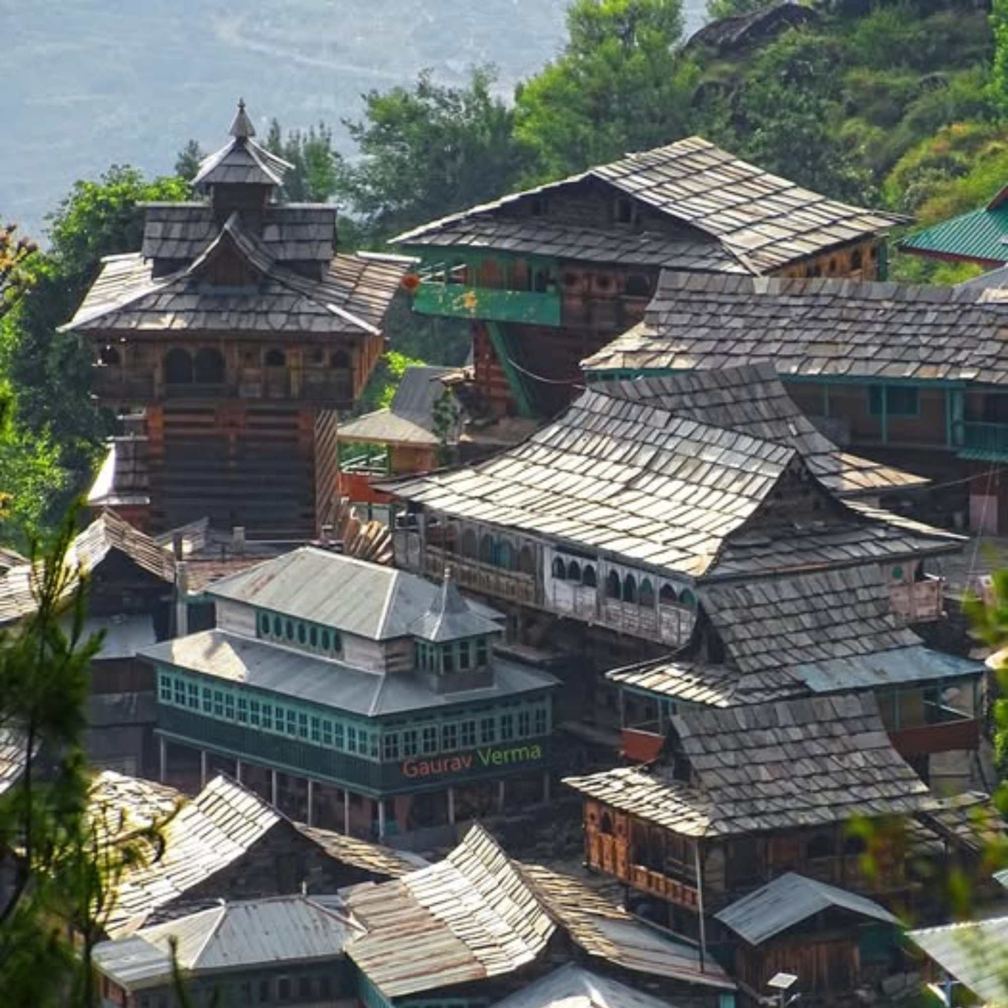
Larot Village
About 15 km below the pass
The last settlement before Chanshal Pass. A small Himachali village with apple orchards, deodar forests, and a few basic homestays and camps. Most Chanshal visitors base here or pass through. At roughly 2,700 metres, the village sits in a green, forested bowl that feels like a different world from the exposed pass above.
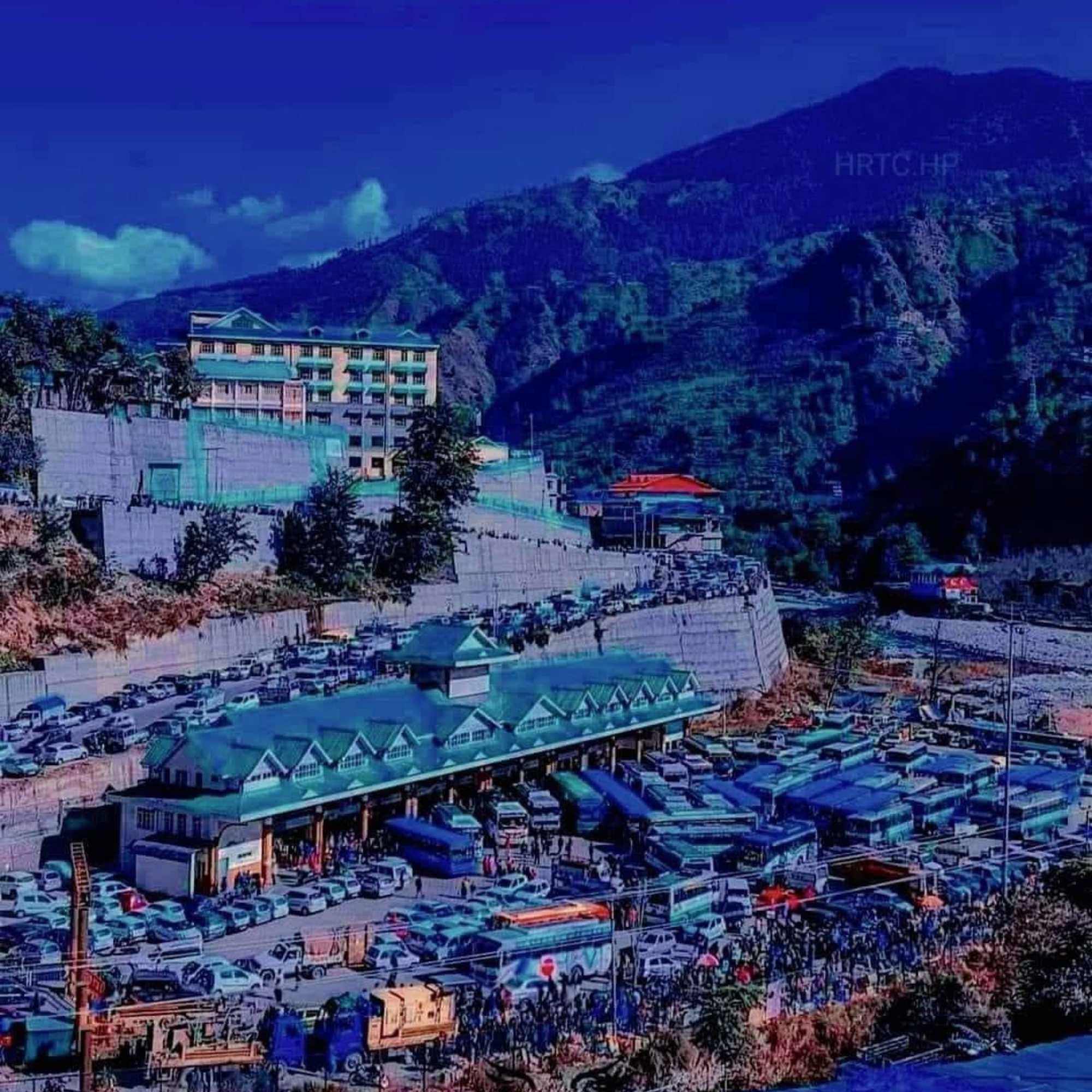
Rohru Town
About 48 km from the pass
The main town in the Pabbar Valley and the practical base for any Chanshal Pass trip. Hotels, restaurants, ATM, fuel pump, and a market. Rohru also has an old Bhima Kali temple and a trout hatchery. The town sits at a comfortable 1,500 metres, making it a good acclimatisation stop.
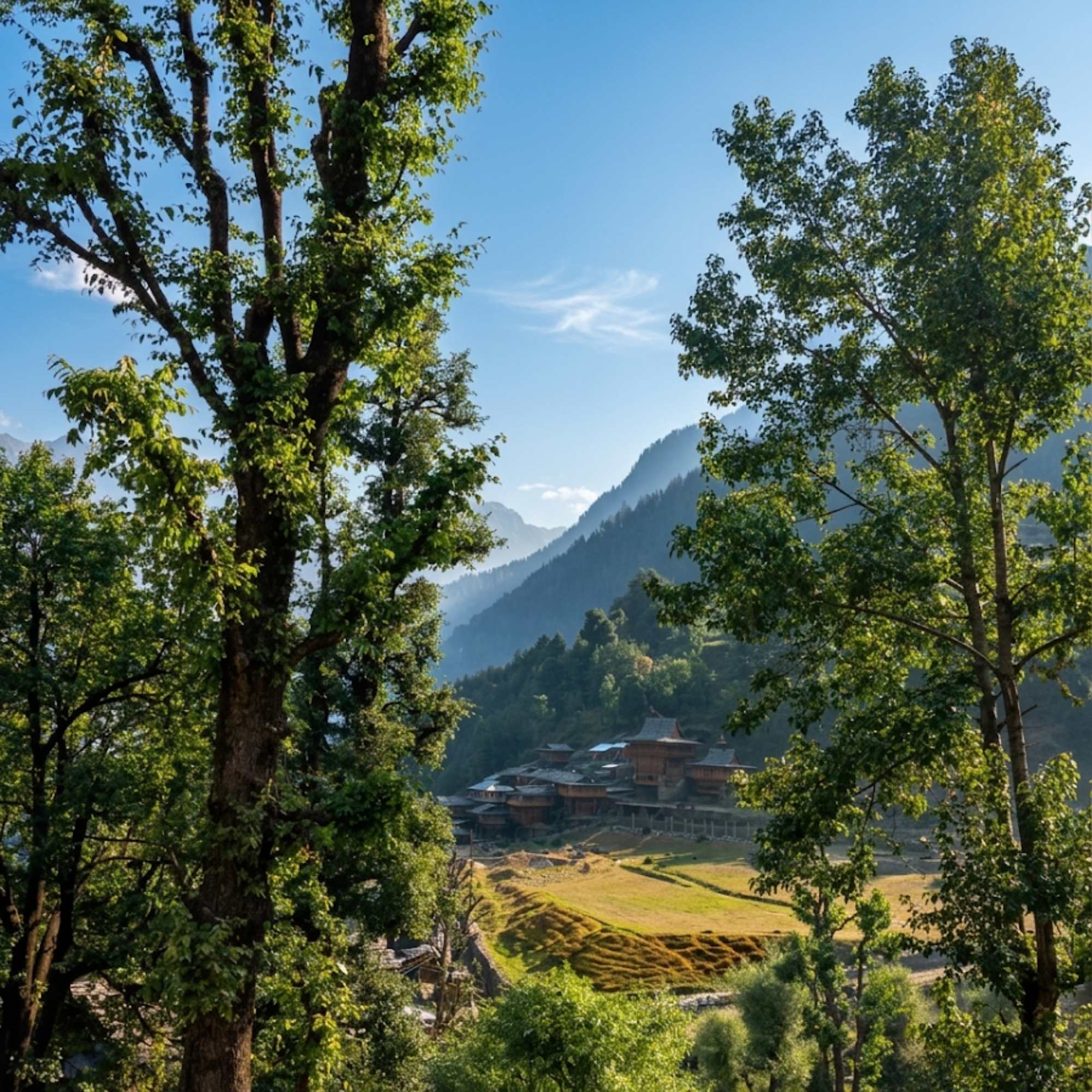
Dodra Kwar
Beyond the pass, about 25 to 30 km on the far side
Tiny, extremely remote hamlets on the other side of Chanshal Pass. Among the most isolated inhabited settlements in Himachal. Almost no tourist infrastructure. Going through to Dodra Kwar is a full expedition, not a casual extension. The road on the far side is even rougher.
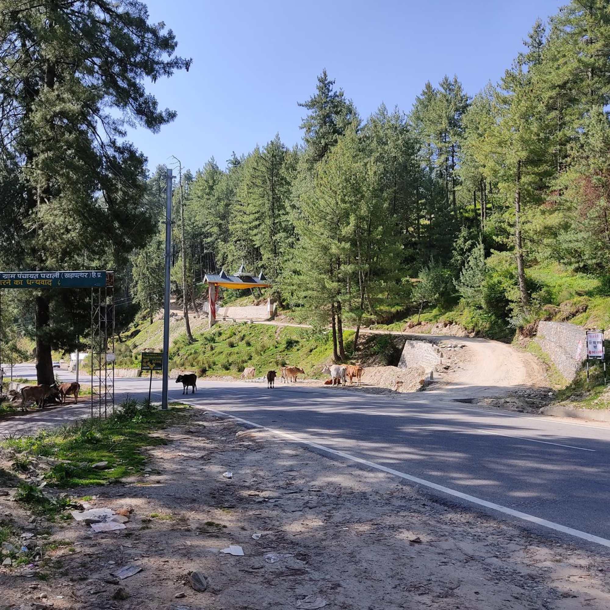
Kuppar Bugyal
Near Larot, accessible via a trek or rough track
A high altitude meadow near Larot in the Pabbar Valley. Known for wide, open grasslands and mountain views. Accessible as a short trek or via a rough track from the Chanshal road. A good add on if you are spending an extra day in the area.
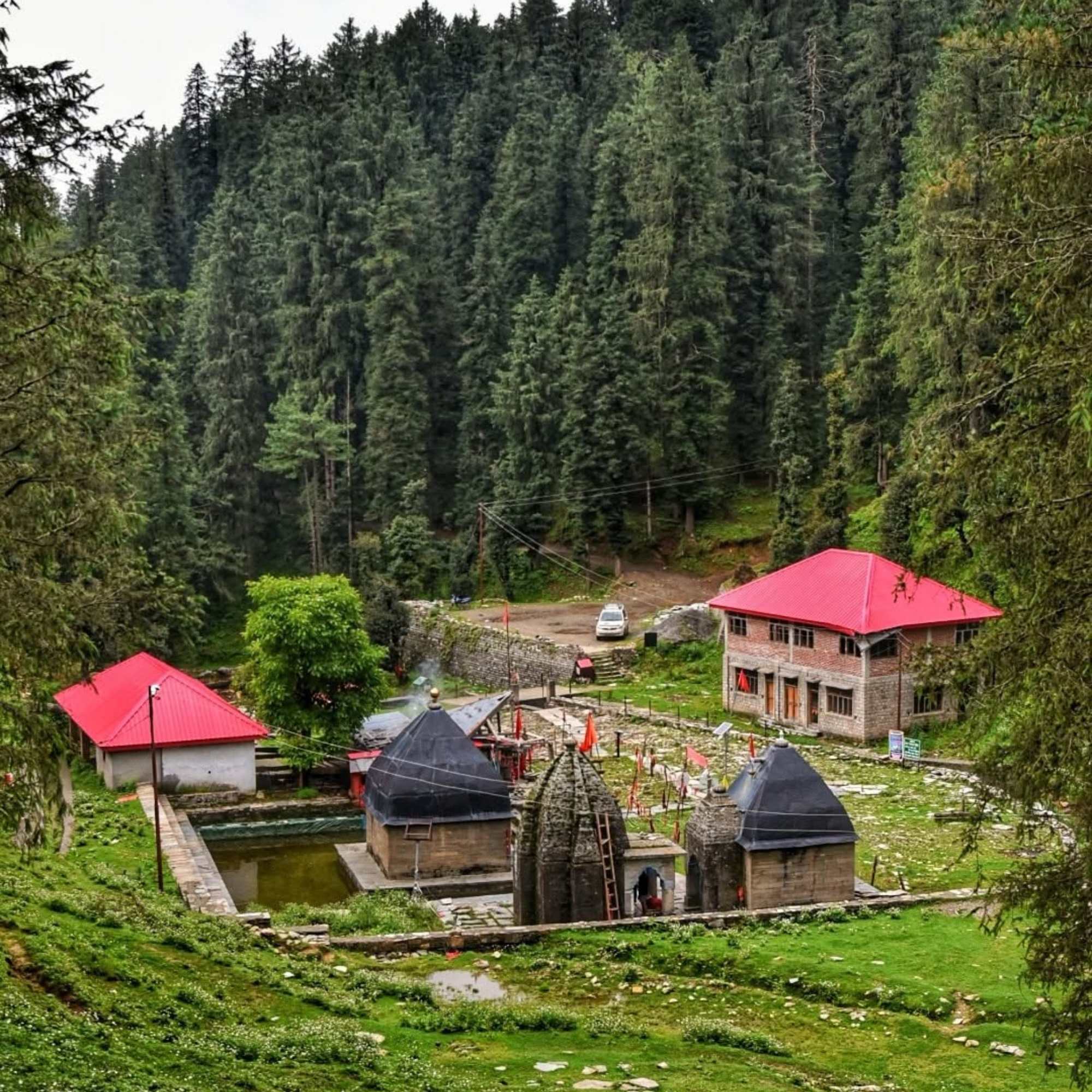
Giri Ganga Temple
About 6 to 7 km track above Kharapathar
An ancient forest temple at the source of the Giri Ganga, the stream that feeds the Giri river, set in thick deodar at roughly 2,700 metres. It belongs to the broader Pabbar Valley region but sits well back toward Shimla, reached by a rough vehicle track or short trek of about 6 to 7 km up from Kharapathar on the Shimla to Rohru road. Despite listings that place it a short hop from Rohru, it is not on the Chanshal approach and does not fold into a pass day. Better combined with the drive in or out.
Our packages with Chanshal Pass
Curated trips that include a visit to Chanshal Pass.
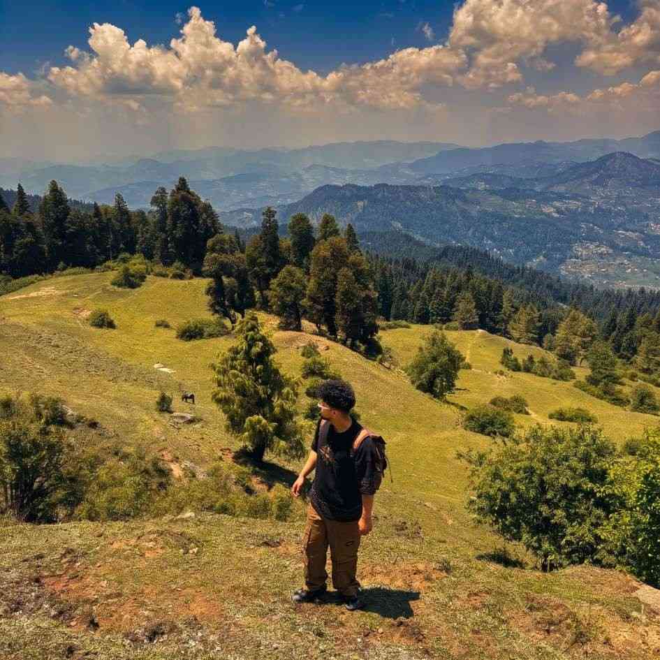 Group Tour5D/4N
Chanshal Pass Weekend Group Trip With Giri Ganga and Kuppar Bugyal
1D Kharapathar / Kotkhai•1D Rohru / Chirgaon (Pabbar Valley)
₹8,999₹12,999SAVE INR 4,000/ person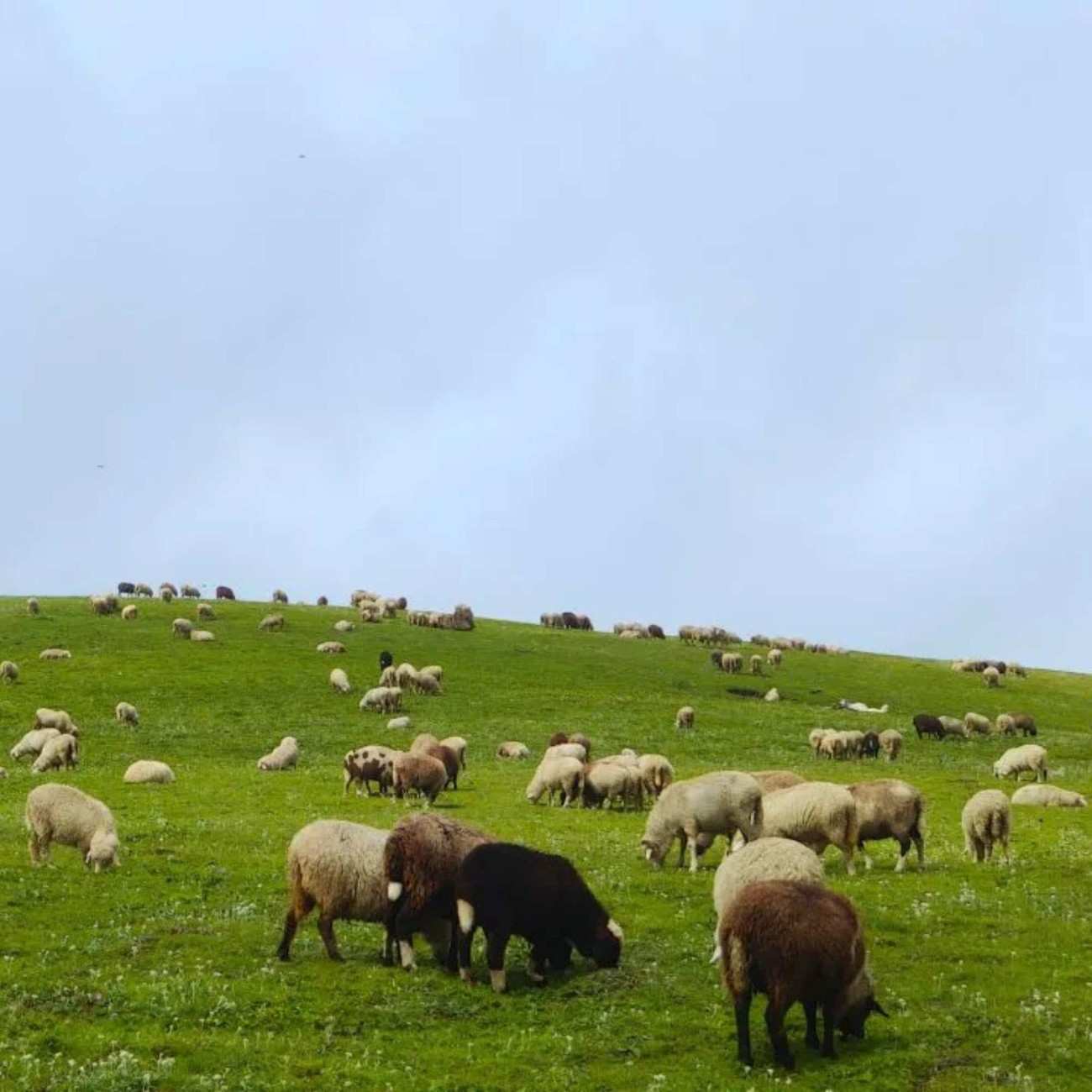 8D/7N
8D/7NMost Loved 4x4 Pabbar Valley Expedition With Giri Ganga Kuppar Bugyal Chanshal Pass and Dodra Kwar
1D Kharapathar / Kotkhai•2D Rohru / Chirgaon (Pabbar Valley)+1
₹32,999₹39,999SAVE INR 7,000/ person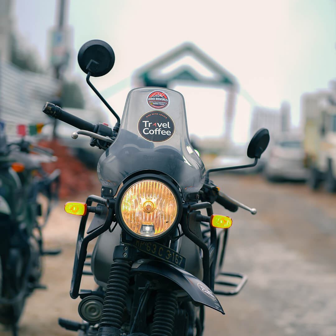 8D/7N
8D/7NUltimate Pabbar Valley Bike Expedition With Giri Ganga Kuppar Bugyal Chanshal Pass and Dodra Kwar
1D Kharapathar / Kotkhai•2D Rohru / Chirgaon (Pabbar Valley)+1
₹29,999/ person
Frequently Asked Questions
What is the altitude of Chanshal Pass?
The pass sits at roughly 3,750 metres (about 12,300 feet). Chanshal Peak, the highest point in Shimla district, rises nearby at approximately 4,520 metres. Some sources mix up the pass and the peak altitudes, so be aware of the distinction.
Is Chanshal Pass open right now?
The pass is generally accessible from around May to October, depending on snowfall and BRO road clearance. The exact opening and closing dates change every year. Always confirm current road status with locals in Rohru or Larot before attempting the drive. In a heavy snow year, the pass may not open until late May or early June.
Do I need a 4x4 vehicle?
Strongly recommended. The last 15 km from Larot to the pass are unpaved, steep, and include loose gravel, mud, and water crossings. A 4x4 SUV or capable adventure motorcycle handles it well. A 2WD car can manage in completely dry conditions, but getting stuck in a remote stretch with no rescue is a real risk. Sedans and low clearance vehicles should not attempt it.
How far is Chanshal Pass from Shimla?
About 160 to 180 km depending on the route, taking roughly 6 to 8 hours to reach Rohru. From Rohru, the pass is another 48 km and 3 to 5 hours on rough mountain roads. Do not attempt Shimla to the pass and back in a single day. Plan at least two days with a night in Rohru.
Is there mobile network at Chanshal Pass?
No. There is no mobile signal at the pass. BSNL works intermittently around Larot and on some ridges. Jio and Airtel are dead beyond Rohru. Download offline maps before leaving Rohru and do not count on making calls for help. Travel with at least one other vehicle when possible.
Where should I stay for a Chanshal Pass trip?
Rohru is the most practical base. It is a proper town with hotels, guesthouses, an HPTDC rest house, restaurants, and a fuel pump. Larot, about 15 km below the pass, has basic homestays and seasonal camps for those who want to start closer to the top. There is no accommodation at the pass itself.
Is Chanshal Pass safe?
The pass itself is not dangerous if you are prepared. The road is the main risk: unpaved, steep, with drops and no guardrails in places. Weather can change fast at 3,750 metres. There is no medical facility, no phone signal, and no rescue service between Rohru and the pass. Carry first aid, warm clothing, food, water, and extra fuel. Do not drive after dark. Travel in groups if possible.
Can I camp at Chanshal Pass?
There is no formal campsite at the pass, but travellers do pitch tents on the meadows. You need to be completely self sufficient: tent, sleeping bag rated for sub zero temperatures, food, water, and cooking gear. The wind is constant and cold, even in summer. Nights at 3,750 metres can drop below zero in any month. This is not a casual camping spot.
What is the best time to visit Chanshal Pass?
Late June for snowmelt and early wildflowers with drying roads. Late September and October for the driest road conditions and clearest views. July and August bring wildflowers but also monsoon mud and landslide risk. May is the earliest the pass opens but expect slush and water crossings. October is a narrow window before early snow closes things again.
Can I continue to Dodra Kwar from the pass?
Yes, the road continues beyond the pass into the Dodra Kwar valley, but this is a full expedition. The road on the far side is even rougher. Dodra and Kwar are among the most isolated settlements in Himachal with almost no tourist infrastructure. You need extra fuel, food, water, time, and genuine comfort with remote mountain roads. Most visitors turn around at the pass.
Is Chanshal Pass suitable for families?
Not recommended. The road is rough and long, the altitude is real at 3,750 metres, there are no medical facilities anywhere near the pass, and there is nothing for children to do at the top. The drive itself can be exhausting and uncomfortable for anyone not used to off road mountain travel.
How does Chanshal Pass compare to other Himachal passes?
Chanshal is less famous and far less crowded than Rohtang or Atal Tunnel. The road is rougher and more remote. There is no BRO maintained highway, no tourist infrastructure, and almost no traffic. If you have done Rohtang and want something wilder and quieter, Chanshal is the natural next step. It feels more like an expedition than a day trip.
Related guides
Posts about Shimla
- Shimla Snow Trip 2026: Best Time, Itinerary, Cost and Local Tips
- Shimla in February 2027: Weather, Snowfall, Itinerary and Travel Tips
- Snow Point Near Shimla in 2026: Kufri, Fagu, Narkanda and the Best Places to Find Snow
- Shimla Honeymoon Guide 2026: Best Time, Itinerary, Cost and Romantic Places
- Shimla Kufri Chail Narkanda Tour 2026: Complete 6 Day Itinerary, Cost and Road Guide
- Shimla to Kasol Distance, Route, Bus and Taxi Guide 2026