
Kheerganga
A high altitude meadow at roughly 2,960 metres where natural hot springs steam beside a Shiva temple at the end of the Parvati Valley, now strictly a day trek after the 2024 camping ban, with two distinct routes from Barshaini through villages, forest, and a serpent shaped waterfall
- Trek
- Parvati Valley
- ~2,960 m
- Hot springs
- Day trek only
- Camping banned
- 12 to 14 km one way
- Moderate difficulty
- No entry fee
What makes it special
Here is what you need to know before everything else: overnight camping at Kheerganga has been banned since July 2024. The Himachal Pradesh Forest Department enforced the ban after a High Court directive, following years of environmental damage from hundreds of tents and accumulating waste on the meadow. All tents, huts, and makeshift cafes at the top have been cleared out. Kheerganga is now strictly a day trek. You must arrive before 10 AM and begin descending by 2 PM. Violators face fines and FIR registration. This is not flexible, and it is actively enforced.
Plan accordingly. Stay overnight in Barshaini, Kalga, Nakthan, or Tosh the night before. Start the trek by 5 AM. Reach the top by 9 to 10 AM. Soak in the hot springs. Head down. The trek itself has not changed. What has changed is that you cannot sleep at the top, and the logistics now require an earlier start and a nearby base camp.
With that settled, here is what Kheerganga actually is. A wide alpine meadow at roughly 2,960 metres (about 9,700 feet) at the head of the Parvati Valley, with natural hot springs known as Parvati Kund and a small Shiva temple. The trek from Barshaini covers about 12 to 14 km through pine and deodar forest, past apple orchards, through villages, and along the Parvati River. The last stretch climbs steeply through dense forest before the ground opens into the clearing at the top.
The hot springs: what has changed
The hot springs are the main reason people make this climb, and they are still accessible for day trekkers. But the experience has changed. The old open air communal pool that most older blog posts and photos show has been closed by local authorities for environmental and religious preservation. What exists now is a managed, indoor bathing facility with segregated sections for men and women. The water is still naturally heated, still mineral rich, and still genuinely hot. You can still soak after the trek. But you are bathing inside a covered structure with basic plumbing, not in a rustic stone pool under the open sky. Bring a towel and a change of clothes in your daypack. Do not put soap, shampoo, or any product into the spring water. The springs are sacred and the rules about keeping them clean are taken seriously.
Worth knowing: many travel blogs still show photos of the old open pool as if it is current. It is not. If you are planning this trek specifically for the classic open air soak, adjust your expectations. The hot water is real. The setting is different.
The two routes
Two trails connect Barshaini to the top, and they feel like two different treks.
Route 1: Via Nakthan (left bank trail, roughly 12 km). This is the more popular route. From Barshaini, you follow the left bank of the Parvati River upstream through open, sun exposed terrain. The trail passes through Nakthan Village at roughly the halfway mark, where trail dhabas serve rajma chawal, Maggi, and chai. Past Nakthan, the trail reaches the Rudranag waterfall (about 30 minutes further), then climbs steeply through dense forest for 2 to 3 hours to the meadow. This route has more sun, more people, and more food stops. It is the better choice if you want company and snacks midway.
Route 2: Via Kalga (right bank trail, roughly 14 km). From Kalga, the trail goes through dense deodar and pine forest on the right bank. It is shadier, cooler, quieter, and noticeably less crowded. The path passes a small dhaba near a separate waterfall midway before descending to the bridge near Rudranag where it meets the Nakthan route. From that point, both routes share the same steep forest climb to the top. The Kalga route is less marked in places and it is possible to lose the path in sections. Ask at your homestay in Kalga for directions before starting.
Most trekkers go up one way and come down the other. If you want my honest recommendation: go up via Nakthan (for the dhabas and the river views) and come down via Kalga (for the forest and the quiet when your legs are tired). Or flip it if you prefer getting the harder, less marked route done with fresh legs in the morning.
Safety: when to avoid the trek
Fair warning. The trail is genuinely hazardous during heavy monsoon rains, particularly July and August. The rocky sections above Rudranag become dangerously slippery when wet. Multiple stretches of the trail pass through active landslide zones where loose rock and mud slides are common after heavy rainfall. Stream crossings that are manageable in dry weather can become fast and difficult to ford in monsoon. Leeches are common in the lower forest sections between Nakthan and Rudranag. The road from Manikaran to Barshaini is also landslide prone, which means even getting to the trailhead can be disrupted.
If you are not an experienced trekker comfortable with monsoon mountain conditions, avoid the July and August window entirely. September improves as the rains ease. The trail dries quickly once the heavy rain stops.
The legend behind the name
Kartikeya, son of Shiva and Parvati, is said to have meditated at this spot for thousands of years. Parvati would visit and cook kheer (a rice and milk pudding) in the hot spring water. The milky appearance of the spring water gave the place its name. The small Shiva temple at the top marks the site. Whether or not the story moves you, the temple's position at the edge of a meadow at nearly 3,000 metres, with the valley dropping away below, gives it a setting that most lowland temples cannot match.
Honest take
Kheerganga is a genuinely rewarding trek, and the hot springs at the top, even in their new managed form, are unlike anything else in this part of the Himalayas. But the day trek format means it is now a long, tiring day. You are walking 12 to 14 km uphill, spending an hour or two at the top, and then walking 12 to 14 km back down. That is 24 to 28 km of trekking in a single day with a 2 PM deadline. For fit trekkers, this is manageable and satisfying. For casual walkers or first timers who have not trained, it is a hard day. Be honest with yourself about your fitness before committing.
One more thing. Since the camping ban, there is no food at the top. The dhabas and tent cafes that used to operate there are gone. Carry your own snacks, at least 2 litres of water, and enough energy food for the summit stop and the return journey. The only reliable food stop on the trail is at Nakthan, roughly halfway on the left bank route.
Quick answers
- What is Kheerganga?
- A high altitude meadow at roughly 2,960 metres (9,700 feet) at the end of the Parvati Valley, with natural hot springs and a Shiva temple. The trek from Barshaini is 12 to 14 km one way through forest and villages. Since July 2024, overnight camping is banned. Kheerganga is now a day trek only. Arrive before 10 AM, descend by 2 PM.
- Can I still use the hot springs?
- Yes, but the experience has changed. The old open air communal pool is closed for environmental and religious preservation. Managed, segregated indoor bathing facilities with naturally heated mineral water are available at the top. Bring a towel and a change of clothes. No soap or shampoo in the water.
- Is Kheerganga still worth doing as a day trek?
- Yes, if you are reasonably fit and willing to walk 24 to 28 km in one day. The hot springs and the trek through the forest are genuinely rewarding. The day trek format makes it harder, but the experience is still worth it. If your fitness is uncertain, train before you go.
Quick facts
Everything you need to know at a glance.
At a glance
- Altitude
- Approximately 2,960 m (9,700 feet).
- Trek distance
- 12 to 14 km one way from Barshaini. 24 to 28 km round trip.
- Trek duration
- 4 to 6 hours one way. Full day round trip.
- Difficulty
- Moderate. Long distance and significant elevation gain. Not technical.
- Camping status
- Overnight camping banned since July 2024. Day trek only. Arrive before 10 AM, descend by 2 PM.
- Entry fee
- None. No formal permit required as of recent reports. Carry valid photo ID.
- Start point
- Barshaini (16 km from Kasol, 50 km from Bhuntar).
On the ground
- Mobile network
- Patches near Nakthan. No signal in upper forest section or at the top.
- Food on trail
- Dhabas at Nakthan midway. No food at the top (removed with camping ban). Carry snacks and water.
- ATM
- None on the route. Carry cash from Kasol.
- Water
- Stream water available on the trail but carry at least 2 litres from the start.
- Safety
- Trail is well marked but rocky. Slippery after rain. Do not trek alone. Start early, finish before dark.
Seasonal weather
- March to June20°2°Spring and Summer
- July to September16°8°Monsoon
- October to November14°-2°Autumn
- December to February5°-8°Winter
Suitable for
- Couples — suitable
- Families — not suitable
- Seniors — not suitable
- Solo — suitable
- First-timers — with some care
- Pet-friendly — not suitable
How to reach Kheerganga
3 approach routes, with seasonal access.
From Barshaini (trek start)
Generally May to November. Trail can be blocked by snow in winter and dangerous in monsoon.- Distance
- 12 to 14 km one way (24 to 28 km round trip)
- Time
- 4 to 6 hours one way
- Road
- Mountain trail through forest, villages, and rocky sections. No road access to Kheerganga.
The main approach. From Kasol, take a taxi or bus to Barshaini (about 16 km, 45 minutes to 1 hour). The trek starts from Barshaini. Two routes lead to the top: via Nakthan village (river side, more sun) or via Kalga village (forest, Rudra Nag waterfall). Both routes are 12 to 14 km and take 4 to 6 hours. Most trekkers go up one way and come down the other.
From Bhuntar (nearest airport)
Road open year round. Trek season generally May to November.- Distance
- About 50 km by road to Barshaini, then 12 to 14 km trek
- Time
- 2 to 2.5 hours by road, then 4 to 6 hours trekking
- Road
- State highway and valley road to Barshaini. Mountain trail beyond.
From Bhuntar (the nearest airport and highway junction), take the Parvati Valley road through Kasol and Manikaran to Barshaini. Total road distance is about 50 km. From Barshaini, the trek begins on foot.
From Delhi
Year round from Delhi. Trek season May to November.- Distance
- About 520 km to Kasol, then 16 km to Barshaini, then 12 to 14 km trek
- Time
- Day 1: travel. Day 2: trek. Day 3: return.
- Road
- National highway to Bhuntar, valley road to Barshaini, mountain trail to Kheerganga.
Overnight Volvo or semi sleeper from Delhi to Bhuntar or Kasol (10 to 12 hours). From Kasol, taxi or bus to Barshaini (45 min to 1 hour). Trek from Barshaini. You need two travel days minimum: one for Delhi to Kasol/Barshaini area, one for the trek day. Stay overnight near Barshaini the night before the trek.
Best time to visit
Season by season, so you can plan around the weather rather than hope.
- Recommended
Late spring and early summer
May to June
The main trekking season. Dry trail, clear views, long daylight hours.
- Weather
- 2 to 20 degrees at the top. Pleasant for trekking.
- Trail
- Dry, clear, well marked.
- Crowds
- High on weekends. Quieter midweek.
- Hot springs
- Accessible and rewarding after the trek.
The primary trekking window. Snow has melted from the trail by late April in most years. May and June have the most comfortable temperatures and the longest daylight hours, which matters for the day trek timeline. The trail is dry and the hot springs are accessible. This is also peak season, so the trail gets busy on weekends. Start early to stay ahead of the crowds.
Monsoon
July to September
Risky. Slippery trails, leeches, and landslide prone approach roads.
- Weather
- 8 to 16 degrees. Frequent rain.
- Trail
- Slippery, muddy, leeches common.
- Road
- Landslide risk on the approach road.
- Recommendation
- Avoid unless experienced.
Rain is frequent and sometimes heavy. The trail gets slippery and stream crossings become difficult. Leeches are common in the lower forest sections. The road from Manikaran to Barshaini is landslide prone. Not impossible, but significantly harder and riskier. Avoid this window unless you are an experienced trekker comfortable with monsoon conditions.
- Recommended
Autumn
September to November
Post monsoon clarity, the best views, thin crowds. October is the peak month.
- Weather
- Minus 2 to 14 degrees. Cold nights.
- Trail
- Dry, firm. Best condition.
- Views
- Best clarity of the year.
- Crowds
- Low.
The best window for the trek. Post monsoon clarity makes the views the sharpest of the year. The trail dries out, the forest is still green from the rains, and the crowds are thin. October is the single best month. November gets cold at the top but the trail remains open. Nights near Barshaini start getting properly cold, so pack warm layers for the pre trek overnight stay.
Winter
December to February
Snow, cold, and a genuinely difficult trek. For experienced winter trekkers only.
- Weather
- Minus 8 to 5 degrees. Snow likely.
- Trail
- Snow covered. Dangerous without proper gear.
- Access
- Road to Barshaini may be affected.
Snow covers the upper trail and the meadow at the top. The trek is not safe for most people in this window. Only experienced winter trekkers with proper gear should consider it. The approach road to Barshaini may also be affected by snow or ice. The hot springs still flow but reaching them is genuinely difficult.
Things to see & do
3 things worth your time at Kheerganga.
Soak in the Parvati Kund hot springs
30 minutes to 1 hourThe hot springs at Kheerganga are natural, mineral rich, and genuinely hot. The old open air communal pool that most older photos show has been closed by local authorities for environmental and religious preservation. What exists now is a managed, indoor bathing facility with segregated sections for men and women. The water is still naturally heated, still mineral rich, and still the reason people make this climb. Bring a towel and a change of clothes in your daypack. Do not put soap, shampoo, or any product into the spring water. The springs are sacred and the rules are enforced. Budget at least 30 to 60 minutes here before starting the descent.
Trek via the two routes
10 to 12 hours round trip (including time at the top)Two routes connect Barshaini to Kheerganga. Going up via the Nakthan route and coming down via the Kalga route (or vice versa) gives you two different landscapes in one day. The Nakthan side follows the river with more sun exposure, more trekkers, and dhabas midway. The Kalga side goes through dense, shaded deodar forest and is quieter and cooler. Both routes converge near the Rudranag waterfall, a serpent shaped cascade worth a 5 minute stop. From Rudranag, a single steep trail climbs through forest to the meadow at the top.
Visit the Shiva temple at the top
15 minutesA small Shiva temple sits next to the hot springs at the top of Kheerganga. According to legend, this is where Kartikeya meditated and Parvati cooked kheer in the hot water. The temple is modest but the setting, at the edge of a meadow at nearly 3,000 metres with the valley falling away below, is what makes it. Remove shoes before approaching.
Know before you visit Kheerganga
The practical bits, from people who have been.
Critical: The camping banOvernight camping banned since July 2024. Day trek only. Arrive before 10 AM, descend by 2 PM. Stay in a nearby village the night before.
Overnight camping at Kheerganga has been banned by the Himachal Pradesh Forest Department since July 2024. The ban follows a High Court directive after years of environmental damage from unchecked tourism. All tents, huts, and makeshift food stalls at the top have been removed. Kheerganga is now a day trek only. You must arrive before 10 AM and start your descent by 2 PM. These rules are enforced and violators face fines and FIR registration.
This means you need to stay overnight in Barshaini, Kalga, Nakthan, or Tosh the night before, and start the trek by 5 AM at the latest. Plan your entire trip around this timeline.
The trek and the two routesTwo routes: via Nakthan (sunny, river views, dhabas) or via Kalga (shaded forest, quieter). Both 12 to 14 km. Go up one, come down the other.
Two routes connect Barshaini to the top.
Via Nakthan (left bank, roughly 12 km): Follows the Parvati River upstream. More sun exposure, more trekkers, and dhabas at Nakthan village midway. Past Nakthan, the trail reaches the Rudranag waterfall (30 minutes further), then climbs steeply through forest for 2 to 3 hours to the meadow.
Via Kalga (right bank, roughly 14 km): Goes through dense deodar and pine forest. Shadier, cooler, and quieter. Less marked in sections. Ask at your Kalga homestay for directions before starting. The two routes converge near Rudranag, and from there a single trail climbs steeply to the top.
Most trekkers go up one way and come down the other for variety. The trail is well marked on the Nakthan side but rocky in sections and can be slippery after rain. The last 2 km before the meadow is the steepest section on both routes.
The hot springs: updated realityOld open air pool closed. Managed, segregated indoor bathing facilities available. Water still naturally heated and mineral rich. Bring towel and change of clothes.
The hot springs at Kheerganga (Parvati Kund) are still accessible for day trekkers. But the experience has changed from what most older blogs describe. The historical open air communal pool has been closed by local authorities for environmental and religious preservation. What exists now is a managed, indoor bathing facility with segregated sections for men and women. The water is still naturally heated, still mineral rich, and still genuinely hot.
Bring a towel and a change of clothes in your daypack. Do not put soap, shampoo, or any product into the spring water. The springs are sacred. Many travel posts still show photos of the old open pool as if it is current. It is not. Adjust expectations accordingly, but the soak after a long uphill trek is still the core Kheerganga experience.
Monsoon safety warningTrail is hazardous in heavy monsoon rains (July and August). Slippery rocks, active landslide zones, difficult stream crossings. Avoid unless experienced.
The Kheerganga trail is genuinely dangerous during heavy monsoon rains, particularly in July and August. The rocky sections above Rudranag become dangerously slippery when wet. Multiple stretches pass through active landslide zones where loose rock and mud slides are common after heavy rainfall. Stream crossings that are routine in dry weather can become fast and dangerous. Leeches are common in the forest between Nakthan and Rudranag.
The approach road from Manikaran to Barshaini is also landslide prone, so even reaching the trailhead can be disrupted. If you are not experienced with monsoon mountain conditions, avoid July and August entirely. September improves as the rains ease, and the trail dries quickly once heavy rain stops.
Food, water, and connectivityNo food at the top anymore. Dhabas at Nakthan midway. Carry snacks and water. No ATM. Limited signal.
There is no food at the top of Kheerganga anymore. The camping ban removed the tents and food stalls that used to operate there. Dhabas at Nakthan village (roughly midway on the Nakthan route) serve Maggi, dal rice, omelettes, and chai. Carry your own snacks, at least 2 litres of water, and enough energy food for the time at the top and the descent.
There is no ATM anywhere on the route. Carry cash from Kasol. Mobile signal is available in patches near Nakthan but drops out completely in the upper forest section and at the top.
A small reminder: the camping ban rules, entry times, and trail conditions can change. Confirm the current status at Barshaini or with the forest department before starting the trek.
Nearby attractions
Other places worth the detour.
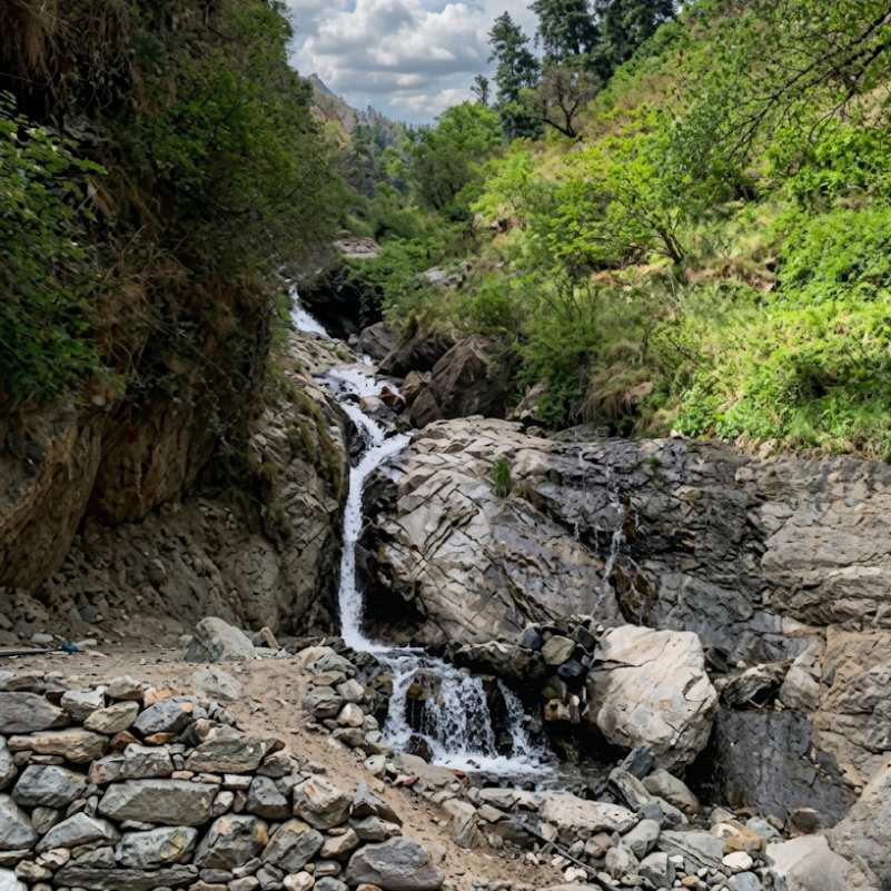
Barshaini
Trek starts here (0 km)
The road head for the Kheerganga trek. The Tosh Nala and Parvati River converge here at the NHPC dam. A transit point with a few guesthouses and food stalls. Not scenic, but the junction where every upper valley trail begins.
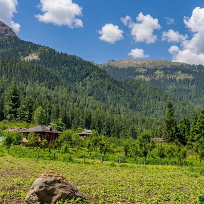
Kalga Village
About 2 km from Barshaini (30 to 45 min walk)
A small village at about 2,280 metres on the right bank, reachable only on foot. Homestays, apple orchards, and genuine village quiet. One of the best places to stay the night before the trek. Also connects to the Kheerganga trek via the right bank forest trail.
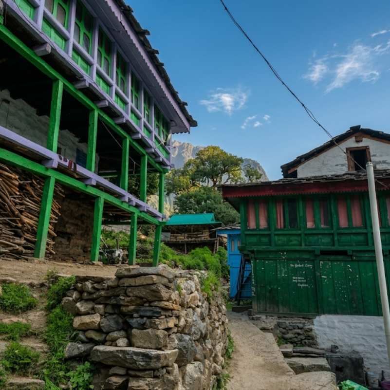
Nakthan Village
About 5 to 6 km from Barshaini on the trek route
A small traditional village midway on the left bank Kheerganga route with trail dhabas serving rajma chawal and chai. The main food stop on the trek.
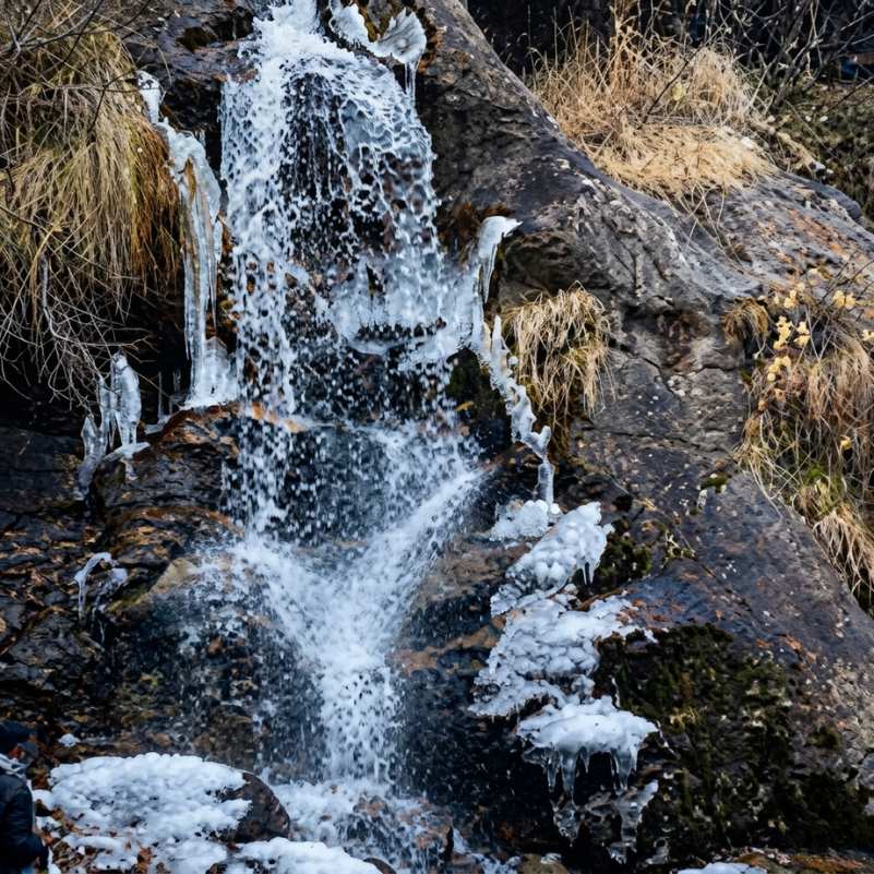
Rudranag Waterfall
About 7 to 8 km from Barshaini on the trek route
A serpent shaped waterfall where the two Kheerganga routes converge. The Rudranag Mahadev Temple sits beside the falls. Your last comfortable stop before the steep climb to the top.
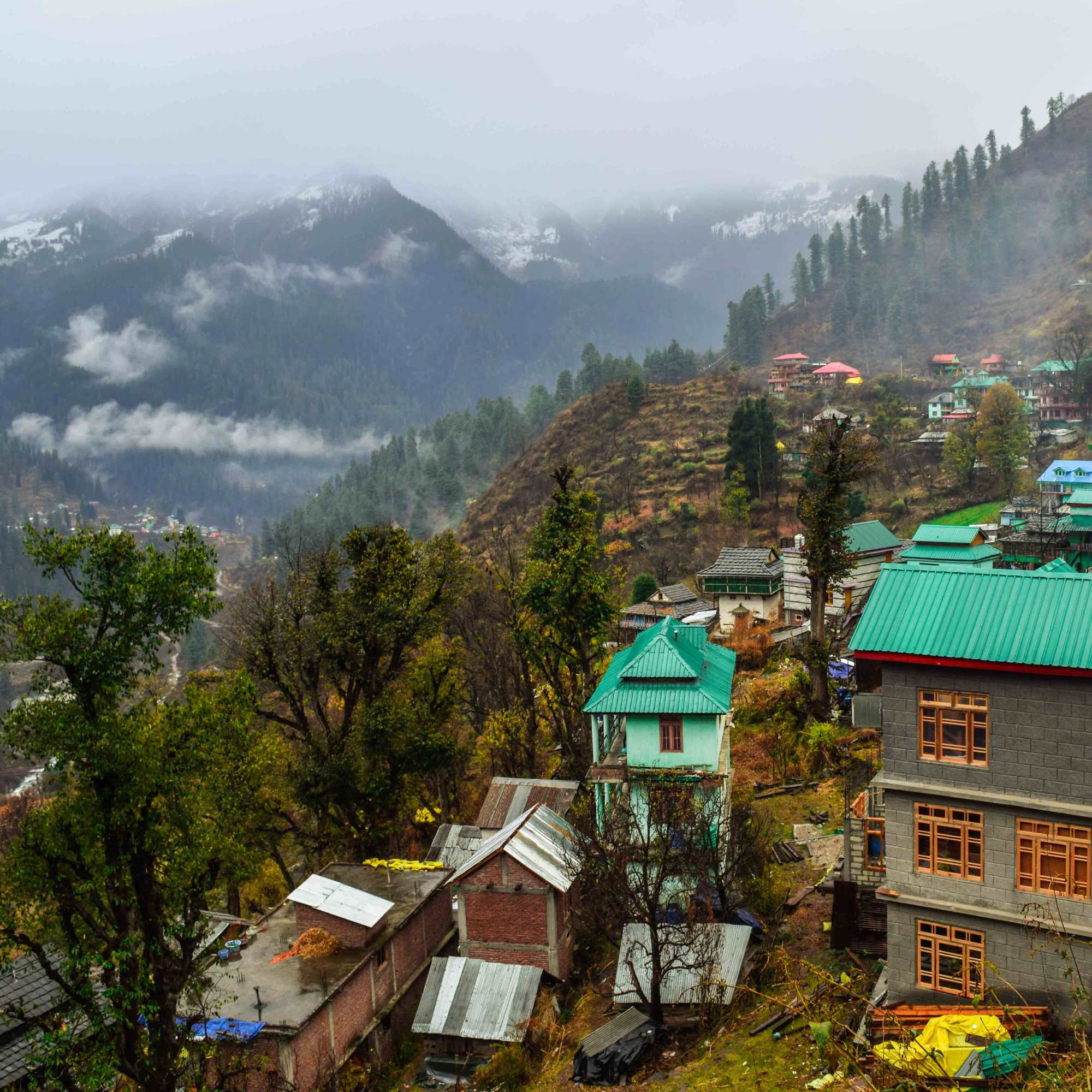
Tosh Village
About 3 km from Barshaini
A hillside village at 2,400 metres with mountain views, cafes, and guesthouses. About 3 km uphill from Barshaini. A popular overnight base before the Kheerganga trek.
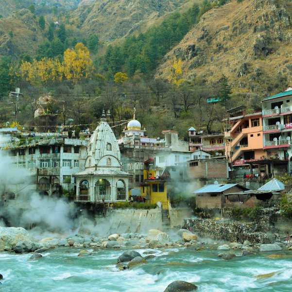
Manikaran Sahib
About 12 km from Barshaini by road
A pilgrimage town with a Gurudwara, Hindu temples, and natural hot springs. On the road between Kasol and Barshaini. Worth a stop on the way in or out.
Our packages with Kheerganga
Curated trips that include a visit to Kheerganga.
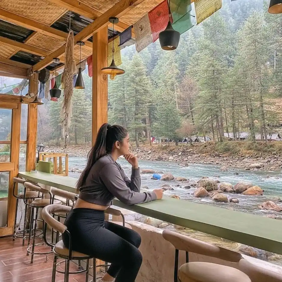 4D/3N
4D/3NPerfect Manikaran Kasol Tosh Weekend Getaway
1D Delhi•2D Kasol+1
₹15,999₹19,999SAVE INR 4,000/ person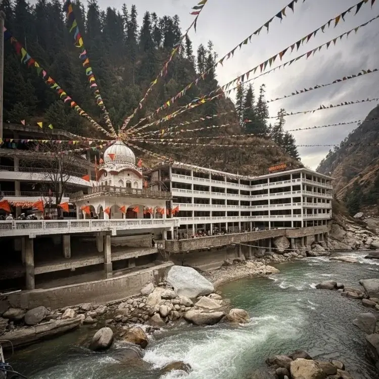 4D/3N
4D/3NWeekend Trip To Manikaran, Kasol & Tosh
1D Delhi •2D Kasol+1
₹9,999₹14,999SAVE INR 5,000/ person
Frequently Asked Questions
Can I camp overnight at Kheerganga?
No. Overnight camping has been banned by the Himachal Pradesh Forest Department since July 2024. The ban remains in force for the 2026 season. All tents, huts, and makeshift cafes at the top have been removed. Kheerganga is now strictly a day trek. Violators face fines and FIR registration.
What are the entry and exit times?
Arrive before 10 AM and begin your descent by 2 PM. These times are enforced. To meet them, start from Barshaini no later than 5 AM.
Is the open air hot spring pool still there?
No. The historical open air communal pool has been closed by local authorities for environmental and religious preservation. Managed, segregated indoor bathing facilities with naturally heated mineral water are available at the top. The water is still hot, still mineral rich, and still worth the trek. Bring a towel and a change of clothes. No soap or shampoo in the water.
How long is the Kheerganga trek?
About 12 to 14 km one way from Barshaini. The trek takes about 4 to 6 hours each way depending on your pace and fitness. Expect a 24 to 28 km round trip in one day.
How difficult is the trek?
Moderate. No technical climbing, but the distance (24 to 28 km round trip) and elevation gain (about 1,100 metres from Barshaini) make it a long day. Fit trekkers handle it comfortably. Casual walkers and first timers should train beforehand.
Which route should I take?
Two main routes from Barshaini. The Nakthan route (left bank) follows the river with more sun exposure, more people, and dhabas midway. The Kalga route (right bank) goes through dense, shaded deodar forest and is quieter but less clearly marked. Most trekkers go up one way and come down the other.
Is the trek safe during monsoon?
The trail is genuinely hazardous during heavy monsoon rains in July and August. Rocky sections become dangerously slippery, multiple stretches pass through active landslide zones, and stream crossings can become difficult. Leeches are common in the forest. The approach road to Barshaini is also landslide prone. Avoid this window unless you are experienced with monsoon mountain conditions.
What is the best time for the Kheerganga trek?
May to June and September to November. October is the best single month, with clear skies, dry trails, and thin crowds. Avoid monsoon (July to September) for safety. Avoid deep winter (December to February) because of snow and cold.
Where should I stay the night before?
Barshaini, Kalga, Nakthan, or Tosh. Stay overnight at one of these the night before the trek and start by 5 AM. Kalga is directly on the right bank trek route and the most convenient for a quiet pre dawn start. Tosh has better views and cafes but adds walking time.
What should I carry?
Sturdy trekking shoes (broken in, not new), towel and change of clothes for the hot springs, at least 2 litres of water, energy snacks, rain jacket, sunscreen, a torch, basic first aid, and enough cash for food at trail dhabas. There is no food at the top anymore since the camping ban.
Do I need a permit?
No formal trekking permit is required as of recent reports. Carry a valid photo ID. Rules can change, so confirm locally at Barshaini before starting.
Is food available on the trail?
Yes, but only at Nakthan village (roughly halfway on the left bank route). Dhabas there serve Maggi, dal rice, and chai in season. There are no food stalls at the top anymore. Carry your own snacks and water for the summit stop and the descent.
Related guides
Posts about Kasol
- Shimla Manali Kasol Itinerary 2026: 7, 8 and 9 Day Routes Without Rushing
- Best Offbeat Places Near Kasol Most Tourists Miss in 2026
- Rasol Village Trek From Kasol 2026: Route, Distance & What to Expect
- Kalga, Pulga & Tulga Villages in 2026: The Offbeat Side of Parvati Valley
- Kheerganga Trek from Kasol 2026: Route, Difficulty, Cost & Best Time
- Snowfall in Kasol 2026: Does It Snow, Best Time & Nearby Snow Places