
Khardung La Pass
A 5,359 metre high pass about 40 km north of Leh that connects the Indus valley to Nubra and the Siachen glacier. The signboard still claims 5,602 m and world's highest motorable road, both contested. Open year round, but the altitude is no joke. Limit your time at the summit to 15 minutes.
- Real altitude ~5,359 m / 17,582 ft (GPS)
- Signboard claim 5,602 m, contested
- ~40 km north of Leh
- Plan a brief stop, 15 minutes max
- Gateway to Nubra and the Siachen glacier
What makes it special
Khardung La is one of those places that sounds better than it is to actually linger at. A high pass on the Ladakh Range about 40 km north of Leh, built by the Border Roads Organisation in 1976, opened to civilian traffic in 1988, and the strategic artery for Indian Army supply convoys heading to the Siachen glacier further north. For most travellers, it is the gateway to Nubra Valley rather than a destination in itself. You stop for fifteen minutes, take a photograph at the signboard, drink a hot tea at the army cafeteria, and drop down the other side.
The world's highest motorable road claim, honest version. Signboards at the top still say 5,602 metres (18,379 feet) and the third highest motorable pass in the world. Both claims have been contested for years. Hundreds of independent GPS surveys, SRTM satellite data, and Russian topographic mapping all put the actual elevation at 5,359 metres (17,582 feet), which is still genuinely high but makes this the ninth or tenth highest motorable pass, not the third. Passes like Umling La in eastern Ladakh at around 5,882 metres sit clearly higher. The signboard is a relic from a pre GPS era, and the shopkeepers in Leh selling 'Highest Motorable Pass' shirts have good reasons to keep the old number going. Go for the experience. Skip the claim.
Altitude reality, which surprises most travellers. The pass is higher than anywhere else you will go on a standard Ladakh trip. Higher than the lake at Pangong (about 4,350 m), higher than Tso Moriri (about 4,522 m), and nearly 1,900 m above Leh. Many travellers feel the altitude here more than at either of the big lakes. The common pattern is a thumping headache, mild nausea, and breathlessness within ten minutes of stopping. This is why we say, keep the stop short. Fifteen minutes maximum. Do not eat a heavy meal at the cafeteria. Skip the second round of photos. Get back in the vehicle and descend.
Day trip from Leh versus the Nubra crossing, honestly. Every season some travellers try to do this as a return day trip from Leh, in and out, just for the signboard. BRO technically allows it on most days, the check post at South Pullu stamps the permit, and a taxi does it in four to five hours round trip. We do not recommend it. If you are coming this far up, you are most of the way to Nubra, where the altitude drops significantly and the valley opens up with dunes, a 32 metre Maitreya Buddha at Diskit, and the drive out to Turtuk. Turning around halfway feels like a waste. Do the pass only as a day trip if you are genuinely stuck in Leh with a spare day and no time for a proper Nubra overnight.
What you actually find at the top. A gravel parking area, a forest of prayer flags, a small memorial to BRO workers, an army run souvenir shop and cafe (famously advertised as the highest souvenir shop in the world), and wide views south back toward the Indus valley and north down the descent toward Nubra. On a clear morning the views go for miles. On a grey afternoon it can be a whiteout. The pass is genuinely cold even in July, wind chill drops the real feel well below what your weather app predicts. Pack a down layer even for a summer crossing.
Winter crossings and the tunnel plan. The pass is one of the few high Ladakh routes kept open through most of winter, because the Indian Army supplies Siachen year round. BRO clears snow quickly, and even in January and February the pass is usually crossable within a day or two of major snowfall, though occasional longer closures after storms do happen. The long discussed 5.5 km Khardung La tunnel, which would bypass the pass entirely and cut travel time to Nubra, has a completed detailed project report as of 2026 but construction has not started, with BRO and the Ladakh UT administration in a funding dispute. For the next few years at least, the pass remains the route. Confirm road status with a Leh operator if you are travelling between November and April.
Who this suits. Anyone going to Nubra Valley, because there is effectively no alternative route most of the year. Photographers who want the high pass shot with prayer flags in the wind. Motorcyclists who want the altitude badge, though honestly the pass is short on most bike itineraries. Who should think twice. First time Ladakh visitors on day two or three of a fly in trip, because crossing this altitude without acclimatisation is where most Ladakh altitude trouble starts. Pregnant travellers, anyone with recent cardiac events, uncontrolled hypertension, or significant respiratory issues. Very young children should have spent at least two days in Leh first. Pets are not practical, altitude and cold hit them faster than people.
Quick answers
- Is Khardung La worth visiting?
- Yes, if you are going to Nubra Valley anyway, because the pass is the route. As a standalone day trip from Leh just for the photograph, we do not recommend it. You spend four to five hours driving, 15 minutes at the top, and come back without having seen any of what Ladakh really offers. Turn the day into a Nubra overnight at Hunder or Diskit, and the same drive becomes genuinely worth it.
- What is the altitude of Khardung La?
- The real altitude is around 5,359 metres (about 17,582 feet) based on modern GPS measurements. The signboards at the top still say 5,602 metres and claim to be the world's highest motorable road, both of which have been contested for years. The actual record belongs to Umling La in eastern Ladakh at around 5,882 metres. Go for the experience, not the title.
- Do I need a permit to cross Khardung La?
- Yes. Indian citizens pay the Ladakh Environment and Development Fee online at lahdclehpermit.in, typically Rs 400 one time plus around Rs 20 per day wildlife fee, which also covers Nubra, Pangong, and Tso Moriri on the same trip. Foreign nationals need a Protected Area Permit through a registered Leh travel agent. The check post at South Pullu on the way up stamps permits. Carry four or five paper copies.
Quick facts
Everything you need to know at a glance.
At a glance
- Altitude
- Real altitude around 5,359 m / 17,582 ft by GPS surveys, SRTM, and Russian topographic data. Signboards at the top still claim 5,602 m / 18,379 ft, a pre GPS figure that has been contested for years.
- Location
- Ladakh Range, about 40 km north of Leh, connecting the Indus valley to the Shyok valley and Nubra. Strategic supply route for the Indian Army to the Siachen glacier.
- Nearest base
- Leh, 40 km south of the pass. South Pullu (15 km below the pass on the Leh side) and North Pullu (13 km below on the Nubra side) are the only settlements in between, and both are army operated.
- Open season
- Open year round thanks to BRO, with brief winter closures after heavy snow that usually clear within a day or two. Main tourist crossing window is May to late September, with winter crossings possible for fit travellers on flexible itineraries.
- Access timings
- No gate, no fixed hours at the pass itself. South Pullu check post operates through daylight hours and typically clears the last civilian traffic by late afternoon. Plan to be at the top between 9 AM and 12 noon for the cleanest light and most reliable access.
- Permit and fees
- Indian citizens, online Environment and Development Fee via lahdclehpermit.in, typically Rs 400 plus around Rs 20 per day, covering Nubra, Pangong, Tso Moriri, and Hanle. Foreign nationals, Protected Area Permit through a registered Leh agent, group of two minimum on paper. No additional pass fee, check post at South Pullu.
- Time needed
- 15 to 20 minutes at the top is the right stop. The full crossing from Leh to Nubra is 3.5 to 5 hours depending on traffic at the summit. If attempting a day trip from Leh, plan 4 to 5 hours round trip with short stops.
- Known for
- The disputed world's highest motorable road claim, the gateway to Nubra Valley and the Siachen glacier, a key crossing on the old caravan route from Leh to Kashgar, and the pass most bikers flying into Leh want on their list.
- Difficulty
- Easy as a drive, but moderate to hard for altitude. The drive itself is manageable in a standard SUV or on an experienced motorcycle. The physical challenge is the altitude, which catches more travellers than the drive does. Keep the stop short.
On the ground
- Mobile network
- Patchy. BSNL postpaid gets occasional signal near the top, Jio and Airtel are unreliable. Expect to be off grid between Leh and the other side of the pass.
- ATMs
- None anywhere on this route past Leh. The next reliable option is Diskit in Nubra, and even that ATM is frequently offline. Carry cash from Leh.
- Fuel
- No pump between Leh and Diskit. Fill up fully in Leh before the crossing. Motorcyclists and self drivers should carry a 5 to 10 litre jerry can as backup, especially if continuing toward Turtuk.
- Food
- A small army run cafe at the top serves tea, coffee, Maggi, soup, and simple snacks at slightly elevated prices. South Pullu and North Pullu both have basic dhabas. Save a proper lunch for Khalsar, Diskit, or Hunder on the Nubra side. Do not eat heavy food at the summit.
- Parking
- Open gravel parking right at the top near the cafeteria and the signboard. Free. Space can get tight on a July weekend when multiple tour buses arrive at once, in which case vehicles park along the road below the summit area.
- Washrooms
- Basic washrooms at the army cafeteria at the top, usable but modest. Carry tissues. Road side stops between Leh and the pass are minimal.
- Photography
- Fine at the signboard, the prayer flags, the views south back to Leh and north down toward Nubra. Do not photograph the army check post interiors at South Pullu, do not photograph military convoys, and do not photograph BRO vehicles at close range.
- Drones
- Prohibited. The pass sits on a strategically sensitive supply route to Siachen, and drone use at or near it will be stopped by the army. Keep drones packed.
- Walking
- Strongly discouraged beyond the immediate signboard area. Walking more than 50 metres at this altitude without acclimatisation is a fast way to trigger altitude symptoms. If you feel fine and want to walk, the small prayer flag circuit around the cafeteria is enough.
- Guided tours
- Most travellers cross the pass as part of a Nubra Valley tour package from Leh, or on a private taxi from a Leh operator. Self drives and motorcycle trips are common but require Leh altitude experience. Casual car rentals without an experienced driver are not recommended for a first winter crossing.
Seasonal weather
- May to June start8°-2°Spring
- Mid June to August14°2°Summer
- September to early October8°-5°Autumn
- November to April-5°-25°Winter
Suitable for
- Couples — suitable
- Families — with some care
- Seniors — with some care
- Solo — suitable
- First-timers — with some care
- Pet-friendly — not suitable
How to reach Khardung La Pass
3 approach routes, with seasonal access.
From Leh to Khardung La and Nubra
Open year round thanks to BRO, with brief closures after heavy snow. Main tourist window is May to late September.- Distance
- 40 km from Leh to the summit, another 80 km on to Hunder
- Time
- 1.5 to 2 hours one way to the summit. 4 to 5 hours Leh to Hunder with stops.
- Road
- Mostly tarred. The high altitude stretch above South Pullu sees slush, potholes, and occasional washouts in July and August. Standard SUVs handle it comfortably.
- Last fuel
- Fill up in Leh. No reliable pump until Diskit on the Nubra side.
The default crossing for almost everyone heading to Nubra. From Leh, north past the palace and out of the city, a steady climb through dry ridges to the South Pullu check post at around 4,800 m for permit stamping, then the final 15 km of switchbacks to the summit. Leave Leh by 8 AM to reach the top around 10 AM, which is also the best light and the least traffic window. Limit your summit stop to 15 minutes and descend to North Pullu, then Khardung village, then Khalsar where the road splits for Diskit or Sumur.
From Nubra Valley back to Leh via Khardung La
Same as outbound, year round with brief winter closures.- Distance
- ~80 km Hunder to the summit, another 40 km on to Leh
- Time
- 4 to 5 hours total with a short summit stop
- Road
- Same road in reverse. Slush and rough stretches above North Pullu in summer.
- Last fuel
- Fill up at Diskit before leaving Nubra. No pumps until you are back in Leh.
The return crossing, which most travellers find easier than the outbound one because they have acclimatised to Nubra altitude and feel the pass less. Plan to leave Hunder by 7 AM so you reach Leh before lunch. The climb up from Khalsar is the same road, the descent back to Leh is the same route in reverse. A brief 10 minute stop at the summit is enough on the return, even if it feels easier this time, because the altitude is still higher than anywhere you have slept on the Nubra side.
From Nubra via the Wari La alternative (skipping Khardung La)
Generally June to September, opens later than Khardung La and closes earlier in winter.- Distance
- ~150 km from Leh to Khalsar via Wari La
- Time
- 6 to 8 hours
- Road
- Tarred and broken sections, a higher pass crossing at Wari La, remote feel throughout. Standard SUVs manage but take it slowly.
- Last fuel
- Fill up in Leh. No reliable pump until Diskit.
A longer alternative for experienced travellers. Leh through Sakti to Wari La pass at around 5,300 m, then Agham and Khalsar into Nubra from the Shyok side. Avoids Khardung La entirely, which is useful if the main pass is closed or if you want a quieter drive. Slower, rougher, and not forgiving on a fly in traveller still acclimatising. Most often used as a return leg by adventure motorcyclists and self drivers who want a different scenery on the way back.
Best time to visit
Season by season, so you can plan around the weather rather than hope.
- Recommended
Main window
May to late September
Main crossing window, cleanest light in September, peak tourist traffic in July, most reliable conditions
- Day temperature at the summit
- Roughly 5 to 15°C, cold wind even on sunny days
- Night temperature (though you should not be there at night)
- Roughly minus 5 to 0°C
- Road
- Best conditions of the year, brief closures after rain or landslides are rare
- Crowds
- High in July, moderate in May, June, and September
- Clouds and visibility
- Clearest in September, most variable in July and August
The reliable window. Road conditions are at their best, traffic is moderate, daytime temperatures at the summit sit between 5 and 15°C, and light is clean through most mornings. The second half of June and the second half of August tend to have thinner crowds than the July school holiday peak while weather remains reliable. September gives the cleanest visibility of the year, and is the best month if you want the summit photograph without snow or crowds.
Late autumn
Mid October to early November
Cold, quiet, with first snow possible, occasional brief closures
- Day temperature at the summit
- Roughly minus 3 to 5°C
- Road
- Generally open with occasional brief closures after early snow
- Crowds
- Low
- Risk
- Sudden weather changes and early snow can catch travellers unprepared
A short shoulder window with fewer travellers and colder days. Nights drop fast toward freezing in October, and by mid to late October the pass sees its first proper snow. Conditions are usually still fine but variable, with possible brief closures after storms. Crowds thin out sharply after the first week of October. If you enjoy cold air, quiet roads, and the chance of a light dusting of snow at the top, this is a good window.
Winter
Late November to April
Open most days thanks to BRO, but cold, icy, and occasionally shut for days, specialist crossings only
- Day temperature at the summit
- Roughly minus 10 to minus 5°C
- Night temperature
- Roughly minus 25 to minus 20°C
- Road
- Open most days, longer closures after major snowfall
- Who it suits
- Fit travellers on flexible dates with experienced local drivers only
- Crowds
- Near none
Not a casual crossing. BRO keeps the pass open through most of winter for army logistics, so the pass is technically reachable, but temperatures at the summit drop to minus 20°C or below, the road ices up quickly after dark, and closures of three to five days after major snowfall do happen. Winter crossings are feasible for fit travellers on flexible dates with experienced Leh operators, usually as part of a wider winter Ladakh trip. Self driving a first winter crossing is a bad idea.
Things to see & do
5 things worth your time at Khardung La Pass.
The signboard photograph
10 to 15 minutesThe classic stop. A short walk from the parking to the stone signboard at the top, a line of prayer flags, and a quick photograph with the altitude claim behind you. The whole thing takes five to ten minutes. Watch your breath, move slowly, and do not try to jog anywhere. The army cafeteria has a few signs with Hindi and English wisdom about altitude, which are genuinely worth reading while you sip tea rather than treating as decoration.
A tea at the army cafeteria
10 to 15 minutesA small army run cafe at the top serves hot tea, coffee, Maggi noodles, soup, and a few simple snacks. Prices are higher than Leh but reasonable for the altitude and setting, the tea is genuinely good, and the money goes back into local army welfare. A 10 to 15 minute stop for a warm drink is a smart way to give your body a moment before you get back in the car to descend. Keep it light, do not eat a heavy meal here.
The South Pullu and North Pullu stops
10 to 20 minutes at eachSouth Pullu is the check post on the Leh side about 15 km below the pass at around 4,800 m, where permits are stamped going into Nubra. North Pullu sits on the descent toward Khalsar. Both are practical stops with army dhabas where locals take lunch, and the views from North Pullu as the road drops into the Shyok valley are genuinely worth a slow moment. Neither is a destination, both are the natural rhythm of a crossing if you are not trying to rush.
Winter crossing as a specialist day trip
Half day round trip from LehNot an activity for most travellers, but worth knowing if you are asking. BRO clears snow fast and the pass stays open most of the year, which makes a winter crossing feasible as a day trip from Leh in January or February. What you get is deep snow walls at the top, near empty roads, and the same pass in a very different mood. What you risk is sudden closures, sub zero temperatures, and real altitude stress. Go only with a Leh operator who has recent winter experience, never self drive your first winter crossing, and keep the stop under ten minutes.
The Nubra crossing, in and out
15 minutes each wayThis is the default for most travellers, not a separate activity, but worth framing it that way. If you are doing Nubra in a standard way, you will cross the pass twice, once on the way in from Leh and once on the way back. Both crossings are short. Treat the first as the photo stop and the second as a quick wave goodbye. If you try to make each an event, you run out of day. If you treat them as the rhythm of the drive, the crossings feel natural.
Know before you visit Khardung La Pass
The practical bits, from people who have been.
Altitude reality at the passHigher than anywhere else on a standard Ladakh trip, around 5,359 m. Limit your summit time to around 15 minutes, do not eat heavy food, and descend immediately if anyone feels unwell. Acclimatise in Leh for at least two nights first.
This is the thing that surprises travellers the most, so it is worth reading closely.
Khardung La is higher than anywhere else you will go on a standard Ladakh trip. Higher than the lake at Pangong (about 4,350 m), higher than Tso Moriri (about 4,522 m), higher than any Nubra village, and nearly 1,900 metres above Leh. At 5,359 m you have roughly 50 percent of the oxygen you are used to at sea level.
Common pattern. Within 10 to 15 minutes of stopping at the pass, many travellers develop a throbbing headache, mild nausea, dizziness, and breathlessness just walking from the car to the signboard. This is acute mountain sickness in its early form. It eases fast once you descend, but it can escalate if you ignore it.
Rules that work. Limit your time at the summit to around 15 minutes. Do not eat a heavy meal at the cafeteria, tea and biscuits are fine. Do not walk fast. Do not try to hike anywhere above the parking. If someone is struggling, get back in the car immediately and descend to South Pullu or lower.
When to worry. Severe headache that does not respond to paracetamol, repeated vomiting, confusion, breathlessness at rest, or coughing pink or frothy sputum. These are signs of high altitude cerebral or pulmonary oedema. Descend immediately to Leh altitude or lower, this is not something to tough out at 5,300 metres.
Before you come. Plan at least two full nights in Leh before any Nubra trip over the pass, three if you have flown in directly from the plains. Never cross Khardung La on day two of a fly in trip.
The world's highest motorable claim, the real storyReal altitude is 5,359 m by GPS, signboard claim of 5,602 m is contested. Umling La at around 5,882 m is actually higher. Worth going for the crossing and the views, not the record.
A quick summary since travellers still arrive expecting the record.
What the signboard says. 5,602 metres (18,379 feet) and third highest motorable pass in the world. Shirts and caps sold in Leh market pick the same number.
What the data says. Hundreds of GPS surveys, SRTM satellite data, ASTER GDEM data, and Russian topographic mapping all converge on 5,359 metres (17,582 feet). Wikipedia, academic sources, and even the later BRO documentation treat this as the accepted value.
What this makes it globally. The ninth or tenth highest motorable pass in the world, depending on how you count roads and what counts as motorable. Umling La in eastern Ladakh at around 5,882 metres has held the real record since 2017. Mana Pass in Uttarakhand and Marsimik La also sit higher.
Why it matters. It does not matter much. The crossing is still dramatic, the view is still wide, and the altitude is still high enough to knock you flat if you ignore it. The pass earns its reputation through the setting and the history, not the signboard.
Why the old number persists. BRO installed the original sign based on pre GPS estimates, and the local economy around Leh has been built around the claim for decades. There is no particular rush to update a signboard that people come specifically to photograph.
The crossing in practiceLeave Leh by 8 AM, permit check at South Pullu, a brief 15 minute stop at the top, lunch at North Pullu or Khalsar on the descent. Road is mostly tarred with rough stretches near the summit.
The route, the timing, and the rhythm that works for most travellers.
Leaving Leh. Start by 8 AM, 7:30 AM in peak summer. This avoids the worst of the convoy traffic at the pass, gets you to the top in the best morning light, and leaves enough time to reach Hunder by early afternoon. Later starts mean you hit traffic jams at narrow stretches near the summit.
Stops on the way up. South Pullu check post at around 4,800 m for permit stamping, which can take 10 to 20 minutes depending on queues. Do not eat at South Pullu, the stop is purely administrative.
At the top. Plan a short 15 minute photo break. One shot at the signboard, one stop at the cafeteria for tea, and back in the car.
Descent to Nubra. North Pullu sits on the descent at around 4,900 m, with a couple of small dhabas that are actually decent lunch stops once you are breathing normally again. From there it is a steady drop through Khardung village to Khalsar at around 3,200 m, where the road splits for Diskit or Sumur.
On the way back. Most travellers spend less time at the pass on the return because the altitude pattern has resettled. A quick 10 minute stop is fine. Some skip the summit photo stop entirely and just wave at the signboard, especially if the weather has turned.
Road conditions. Mostly tarred and in reasonable shape from Leh to Khardung village. The high altitude stretch immediately above South Pullu sees slush, potholes, and occasional washouts, especially in July and August. Standard SUVs handle it comfortably. Motorcyclists manage with experience.
Winter access and the long planned tunnelPass is kept open most of winter by BRO with brief closures after heavy snow. A 5.5 km tunnel is planned but construction has not started as of 2026. Do not plan around the tunnel opening.
A quick note on each of these, because both come up in nearly every planning conversation.
Winter crossings. BRO keeps the pass open through most of winter because the Indian Army supplies Siachen year round. In January and February the road is usually passable within a day or two of major snowfall, though longer closures of three to five days do happen after storms. Crossing in winter is feasible for fit travellers with warm gear and flexible dates, but it is not a casual trip. Plan with a Leh operator who has recent winter experience, never self drive your first winter crossing, and check road status on the morning of travel rather than the day before.
The tunnel. A 5.5 km all weather tunnel under the pass has been discussed for years. As of 2026, BRO has a completed detailed project report, but construction has not started, with BRO citing a funding dispute with the Ladakh UT administration. BRO is now pursuing a defence budget route for the project. The tunnel would cut travel time to Nubra by around an hour and bypass the high altitude stretch entirely. For the next few years at least, the pass remains the route. Do not plan a trip around the tunnel opening, timelines beyond the DPR stage are unclear.
What changes for you. Not much in the short term. Plan for the current pass crossing, keep dates in summer or shoulder months if you want the easiest version, and treat winter access as a specialist variation.
What to pack for the crossingDown jacket rated to below minus 5°C, windproof shell, gloves, cap, sunglasses, SPF 50, paper permit copies, small snacks, light water, and Diamox only if your doctor has prescribed it.
The short practical list that separates a comfortable crossing from a miserable one.
A real down jacket. Rated to at least minus 5°C, not a fleece or a hoodie. Wind chill at the top is serious even in July.
Windproof shell. The wind is constant at the summit, a down layer alone gets punched through in five minutes.
Gloves and a woollen cap. Hands and ears go numb fast at 5,359 m.
Polarised sunglasses. Snow and high altitude UV are brutal together. Sunburn on eyes (photokeratitis) is a real risk on long exposure.
SPF 50 sunscreen. Apply before you leave Leh, not at the top. Cheek and nose burn happen fast here.
Paper permit copies. Four or five. The South Pullu check post keeps one. Phones freeze in the cold, paper is safer.
A water bottle, half full. Full bottles leak in cold, and you do not want a lot of liquid at the top. Small sips on the descent matter more.
A small snack. Biscuits or chocolate. Heavy meals are a bad idea at this altitude, light sugar helps.
Diamox only if prescribed. Talk to your doctor before the trip, not at the pass.
A sick bag. Quietly useful for the descent if someone in the car got a strong headache at the top.
Common mistakes travellers makeCrossing too early in a Ladakh trip, lingering at the top, eating heavy food, self driving in winter without experience, and forgetting to fill fuel in Leh. All avoidable.
The patterns that cause the most trouble on this crossing.
Crossing on day one or two of a fly in trip. The single biggest mistake. If you land in Leh today, do not cross the pass tomorrow. Plan a minimum of two full nights in Leh at 3,500 m first, three if you can spare it.
Lingering at the top for photos. Ten photographs instead of one will not make the memory better, it will make you feel worse. Get your shots quickly and head back to the car.
Eating heavy food at the cafeteria. Tempting because it is cold and you are tired. A bad idea because altitude slows digestion and you are likely to feel nauseous on the descent. Keep it to tea and biscuits.
Assuming the old altitude claim. Some travellers are disappointed when they learn Khardung La is not actually the world's highest motorable road. Do not let a number change the experience.
Self driving in winter without experience. The pass is open, but icy switchbacks and narrow cliff edges are not a place to learn. First winter crossing should always be with an experienced local driver.
Ignoring the check post at South Pullu. The army is serious about permit checks. No permit means you turn around, even if you have driven three hours from Leh.
Leaving without fuel. No reliable pump between Leh and Diskit on the Nubra side. Fill up completely in Leh before heading out.
Nearby attractions
Other places worth the detour.
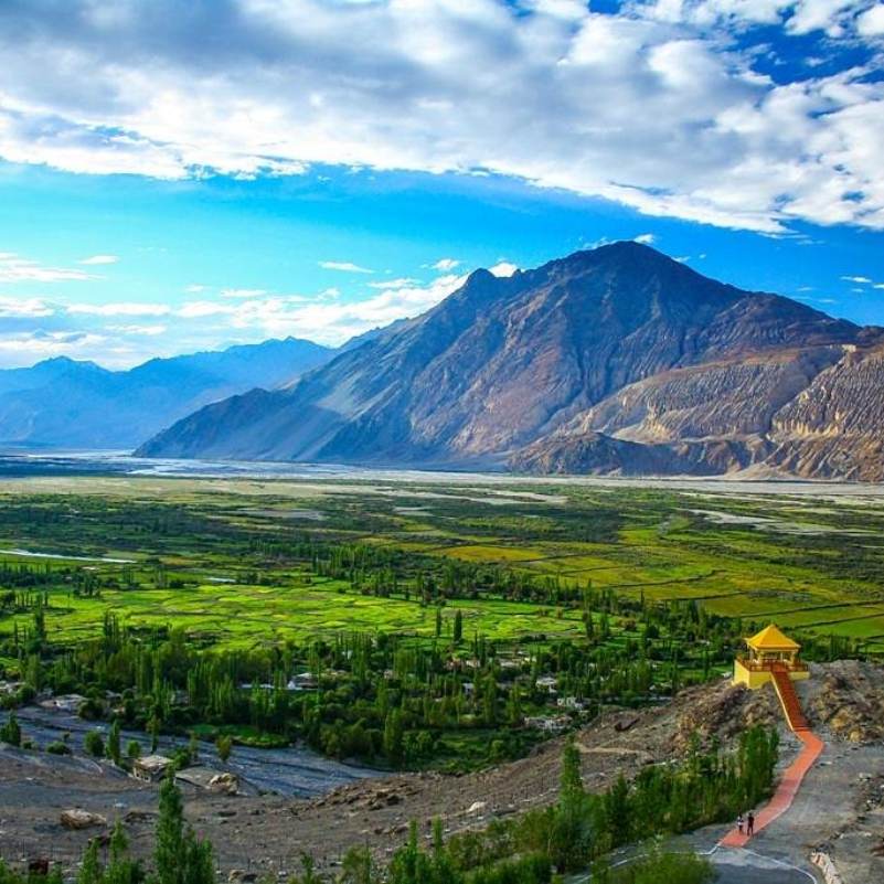
Nubra Valley
~80 km to Hunder from the pass, ~120 km from Leh
The broad desert river valley immediately on the other side of the pass, with Hunder sand dunes, double humped Bactrian camels, the Diskit monastery, Sumur orchards, hot springs at Panamik, and the Balti village of Turtuk near the Pakistan border. This is the reason most travellers cross Khardung La in the first place.
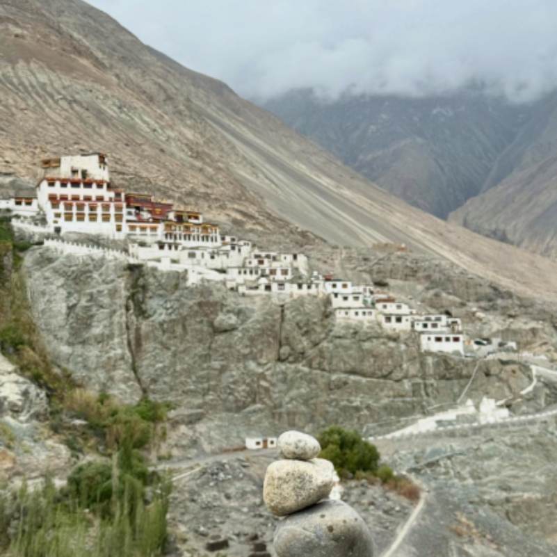
Diskit Monastery
~80 km from the pass, at Diskit village
The oldest and largest gompa in Nubra, 14th century Gelugpa monastery on a hilltop above Diskit village with a 32 metre Maitreya Buddha on the adjacent ridge, consecrated by the Dalai Lama in 2010. The main cultural stop after crossing the pass, and the one non negotiable visit on a Nubra trip.
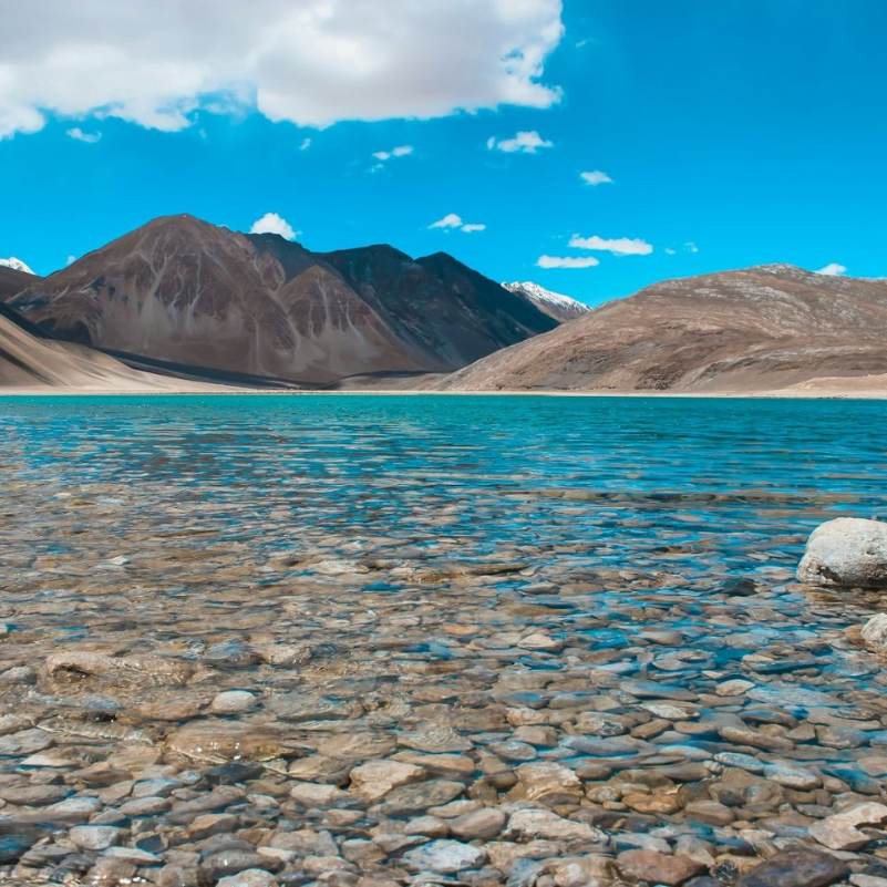
Pangong Lake
~200 km via Leh, or ~230 km direct via the Shyok route from Nubra
The big high altitude lake on the other side of Leh, on the India and China border. Most serious Ladakh itineraries combine Nubra (via Khardung La) with Pangong (via Chang La), either returning through Leh or taking the rougher Shyok route directly between them.
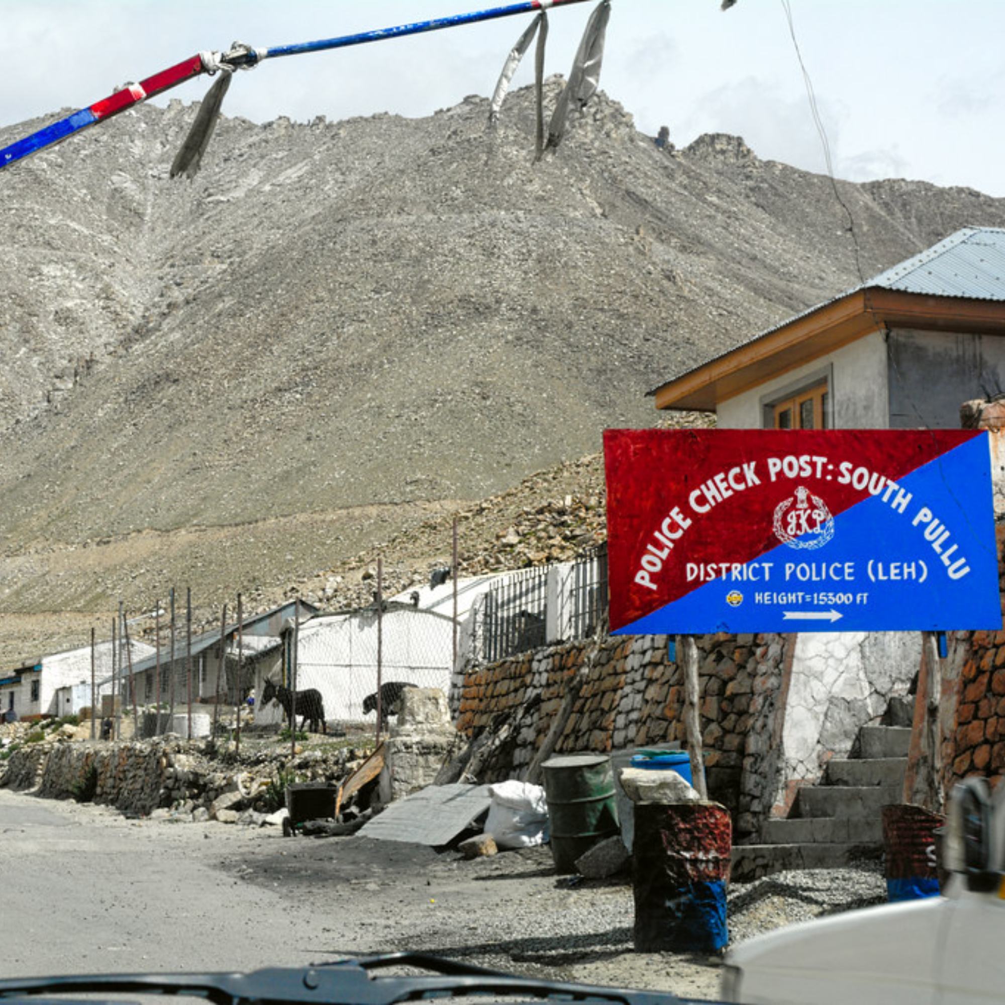
South Pullu check post
~15 km below the pass on the Leh side
The permit check post on the Leh side at around 4,800 metres, about 15 km below the pass. Permits are stamped here for everyone heading to Nubra, and it is where the altitude really starts to show if you are going to feel it on the crossing.
North Pullu
~13 km below the pass on the Nubra side
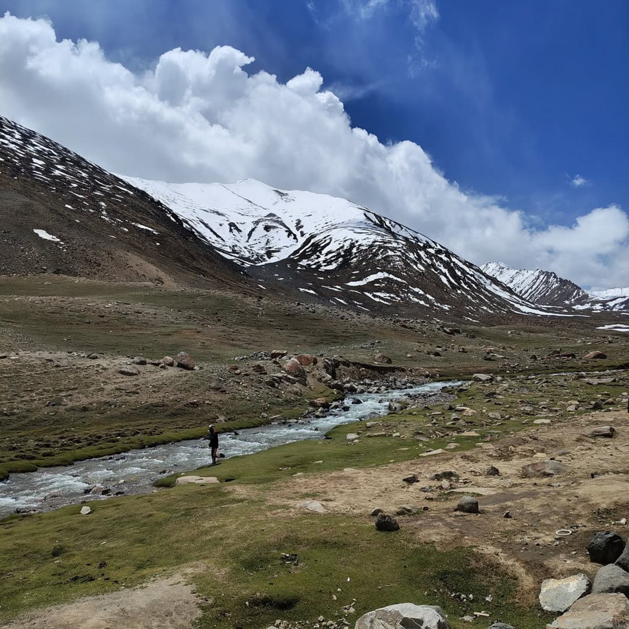
The opposite base at around 4,900 metres on the descent toward Nubra, with a small cluster of dhabas that serve as the natural lunch stop once you are back to breathing normally. The views west from North Pullu into the Shyok valley are the best moment of the crossing for most travellers.
Leh
~40 km south of the pass
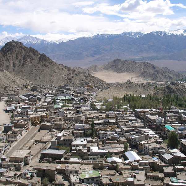
The main city of Ladakh and the base for any Khardung La crossing. Almost every itinerary for the pass starts and ends here. Local sightseeing around Shanti Stupa, Leh Palace, and the monasteries of the Indus valley fills the acclimatisation days before you go up.
Siachen Base area
~180 km from the pass, beyond Panamik
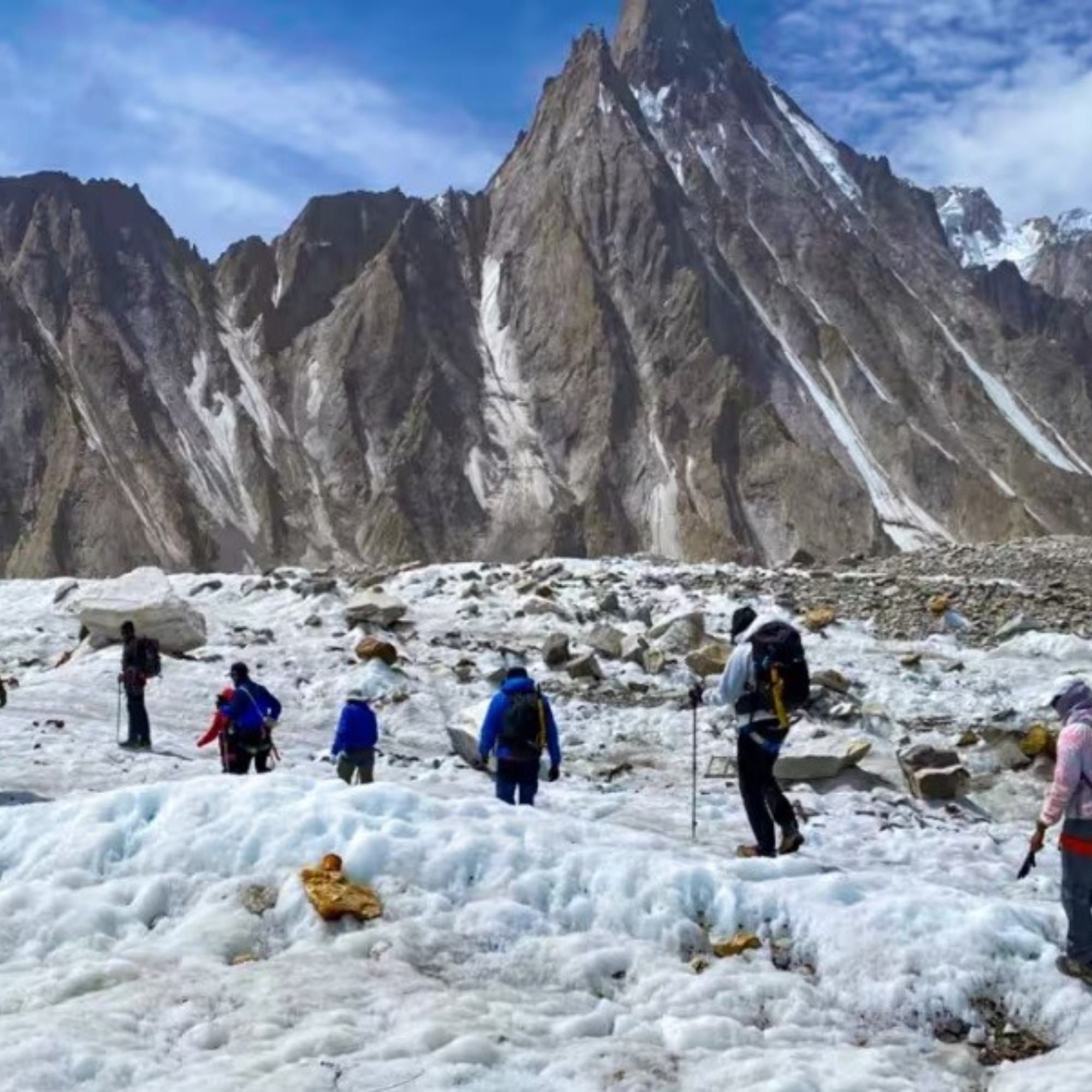
Further north beyond Nubra, this is the civilian accessible area closest to the Siachen glacier, one of the highest battlefields in the world. Day visits to viewpoints are occasionally open with special permits and army clearance, treat any such trip as a bonus rather than a plan.
Our packages with Khardung La Pass
Curated trips that include a visit to Khardung La Pass.
 7D/6N
7D/6NLeh Ladakh Tour With Turtuk Village Nubra Valley and Pangong Lake
2D Leh•2D Nubra Valley+1
₹27,999₹33,999SAVE INR 6,000/ person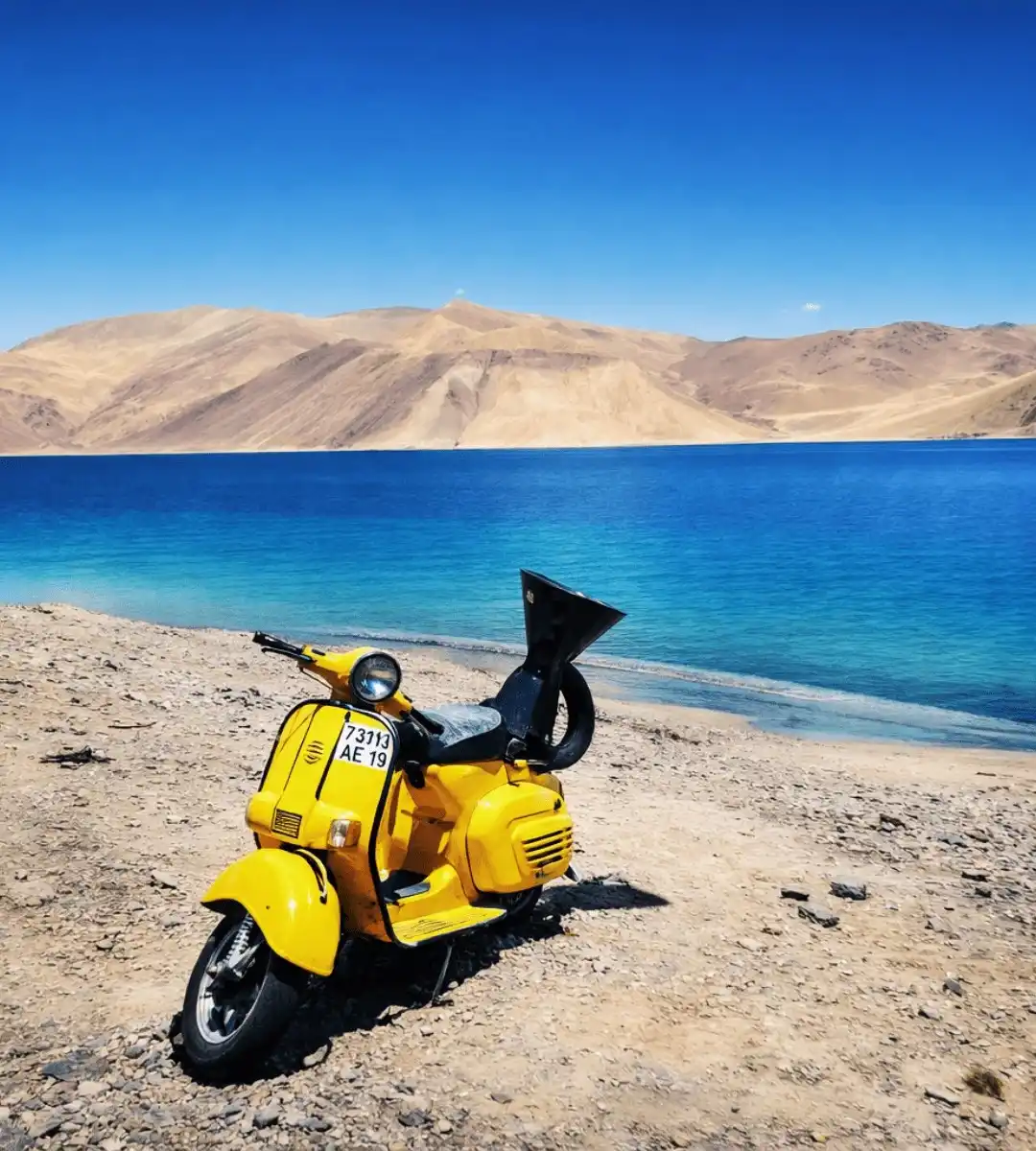 6D/5N
6D/5NBest Selling Leh Ladakh Tour With Nubra Valley and Pangong Lake
2D Leh•1D Nubra Valley+1
₹23,999₹28,599SAVE INR 4,600/ person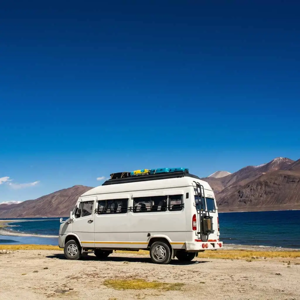 Group Tour6D/5N
Leh Ladakh Group Tour With Nubra Valley and Pangong Lake
2D Leh•1D Nubra Valley+1
₹18,999/ person
Frequently Asked Questions about Khardung La Pass
What is the actual altitude of Khardung La?
The real altitude is around 5,359 metres (17,582 feet), based on hundreds of GPS surveys, SRTM satellite data, and Russian topographic mapping. The signboards at the top still claim 5,602 metres (18,379 feet), a figure from pre GPS estimates that has been contested for years. Either way it is still very high, but the signboard number is incorrect.
Is Khardung La the highest motorable road in the world?
No. The signboard claim of world's highest motorable pass is no longer accepted by most authorities. At a real altitude of 5,359 metres it is roughly the ninth or tenth highest motorable pass in the world. Umling La in eastern Ladakh at around 5,882 metres, Mana Pass in Uttarakhand, and Marsimik La are all higher. The title is a marketing relic, not a current fact.
How far is Khardung La from Leh?
The pass sits about 40 km north of Leh. The drive takes roughly 90 minutes to two hours one way, depending on traffic at the pass and how long you linger at the South Pullu check post. Leaving Leh by 8 AM puts you at the top around 10 to 10:30, which is also when the light is usually cleanest.
Do I need a permit to cross Khardung La?
Yes. The entire route beyond South Pullu lies inside the Nubra inner line area, which needs a permit. Indian citizens pay the Ladakh Environment and Development Fee online at lahdclehpermit.in, typically Rs 400 one time plus around Rs 20 per day wildlife fee, which also covers Nubra, Pangong, and Tso Moriri on the same trip. Foreign nationals need a Protected Area Permit through a registered Leh agent. Carry four or five paper copies for the South Pullu check post.
Is Khardung La open in winter?
Yes, the road is kept open through most of winter by BRO because the Indian Army supplies Siachen year round. Brief closures after heavy snowfall are normal, usually clearing within a day or two, though longer closures of three to five days do happen. Winter crossings are feasible for fit travellers with warm clothing and a flexible itinerary, but they are not casual trips. Confirm current road status with a Leh operator before planning a winter crossing.
Can I do Khardung La as a day trip from Leh?
Yes technically, but we do not recommend it. A day trip means a 40 km climb, 15 minutes at a 5,359 m pass, and a 40 km descent back, which is rough on your body and does not add much beyond a photograph. If you are coming this way you are already most of the way to Nubra, where the altitude drops, the valley opens up, and the actual rewards of the trip are. Make it a Nubra trip with an overnight at Hunder or Diskit instead.
Will I feel altitude sickness at Khardung La?
Yes, this is where most Ladakh altitude problems start. Altitude at the pass is higher than anywhere else you will go on a standard Ladakh trip, including Pangong and Tso Moriri. Do not cross on day two of a fly in trip. Plan at least two full nights in Leh before any Nubra trip. Spend no more than 15 minutes at the summit, skip heavy food at the cafeteria, and descend quickly if anyone feels a strong headache, nausea, or breathlessness.
Is the Khardung La tunnel built yet?
A detailed project report for a 5.5 km all weather tunnel that would bypass the pass entirely exists, but as of 2026 construction has not started due to a funding dispute between the Ladakh UT administration and BRO. BRO is now pursuing a defence budget route for the project. For the next few years at least, the pass remains the only route between Leh and Nubra.
Can I ride a motorcycle over Khardung La?
Yes, a Royal Enfield or similar touring motorcycle crossing is popular and memorable. The road is tarred with rough stretches near the summit and the first few kilometres of descent. Motorcyclists should have high altitude riding experience, carry layered winter gear even in July, and not attempt a first ever Ladakh bike trip on a Khardung La day. BRO and the army run regular traffic control during snow, convoy movement, or when the road is being repaired.
Are there fuel pumps near Khardung La?
Fill your tank fully in Leh before leaving. North Pullu has no reliable pump and the next working option is in Diskit, about 120 km from Leh. Motorcyclists and self drivers should carry a 5 to 10 litre jerry can as backup, especially if planning to continue to Turtuk or the far Shyok side of Nubra.
What should I pack for the Khardung La crossing?
A down jacket rated to below minus 5°C, a windproof shell, gloves, a woollen cap, and sunglasses. SPF 50 sunscreen because UV at this altitude is brutal. Paper copies of your permit for the South Pullu check post. A water bottle but not too much liquid for the climb. A small snack like chocolate or biscuits. Leave heavy meals for lunch in Nubra or back in Leh.
What else is worth visiting near Khardung La?
The Nubra Valley on the other side, with the Hunder sand dunes, double humped Bactrian camels, the Diskit Monastery and its 32 metre Maitreya Buddha, and the Balti village of Turtuk further north. The wider Ladakh circuit usually combines Nubra with Pangong Lake in eastern Ladakh and, for longer trips, Tso Moriri in the Changthang plateau.
Related guides
Posts about Ladakh
- Manali to Leh Highway 2026: Every Pass, Stop and Distance
- Umling La Ladakh Guide 2026: Route, Altitude, Permit, Safety & Reality Check
- Turtuk Ladakh Travel Guide 2026: Balti Culture, Apricot Orchards and Why It Is Perfect for Families
- Offbeat Ladakh for Couples in 2026: Quiet Routes Beyond Pangong and Nubra
- Aryan Valley Ladakh Guide 2026: Dah, Hanu, Brokpa Culture, Route and Who Should Visit
- Hanle vs Tso Moriri vs Turtuk: Which Offbeat Ladakh Place Should You Choose in 2026?