
Pangong Lake
A 134 km saltwater lake at around 4,350 metres on the India and China border in eastern Ladakh. Reached from Leh over Chang La in roughly five to six hours. Permit required, season is short, and a night at Spangmik is worth more than a rushed day trip.
- Altitude ~4,350 m / ~14,270 ft
- ~160 km from Leh via Chang La
- Permit mandatory for all visitors
- Best window late May to late September
- Stay the night at Spangmik or Man
What makes it special
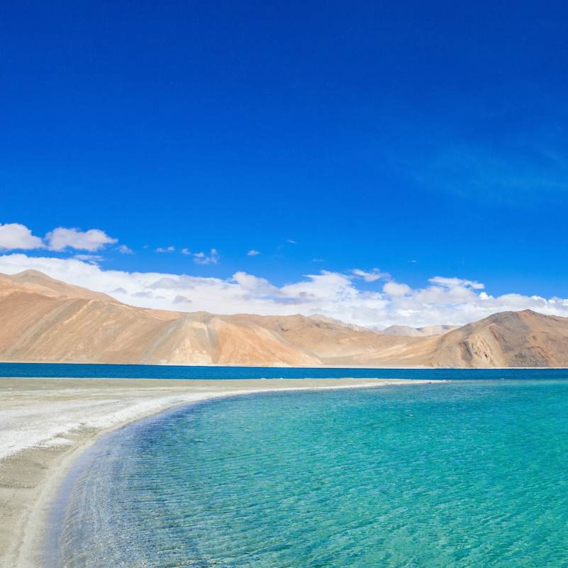
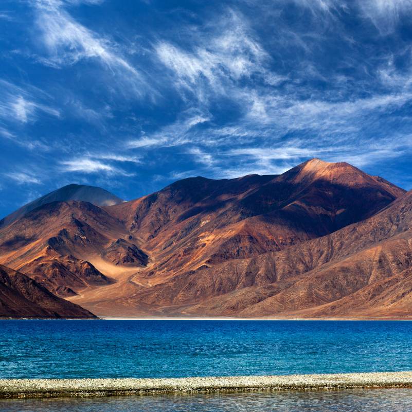
Pangong Tso is one of those places that actually earns its reputation, but rarely in the way travellers arrive expecting. You drive five to six hours out of Leh, cross a pass higher than most of Europe's summits, drop into a dry Changthang valley, and then suddenly there is a long ribbon of blue water pressed up against Tibetan mountains on the far shore. The first reaction is usually silence. What surprises most people is how cold and windy it is even at midday, how few minutes you genuinely want to spend out of the car in the first hour, and how the water really does shift between turquoise, deep cobalt, grey, and almost green across a single afternoon. The 3 Idiots ending scene is why a lot of Indian travellers come here, and there is a small crowded photo zone near Lukung for that, but the lake itself does not need the movie to be worth the drive.
A bit of context on the geography. Pangong is a saltwater lake, roughly 134 km long and up to 5 km wide, sitting at around 4,350 metres along the Line of Actual Control. About two thirds of its length lies across the border in China administered Tibet, and Indian civilians can travel up to the villages of Spangmik, Man, and Merak on the south shore. The name is Tibetan, Pangong Tso, which translates roughly as high grassland lake, a description that fits the wide flat Changthang plateau the lake sits on. Chang La, the 5,360 metre pass you cross from Leh, is the practical gateway, and the lake is part of the wider Changthang cold desert wildlife sanctuary.
The honest framing. Pangong is about the journey as much as the water. The drive from Leh over Chang La, past army posts, marmot colonies, and Tangtse, is the real experience, and a one day round trip from Leh compresses all of it into eleven cramped hours with maybe thirty minutes of actual lakeside time. Spend at least one night at Spangmik, Man, or Merak. Watch the water change colour at sunset. Wake up around five thirty and catch the first light on the lake when the wind has not picked up yet. Drive fifteen to twenty minutes east along the shore away from the Lukung crowd and the place opens up properly. A night changes everything about the Pangong experience.
Altitude is not optional here. At around 4,350 metres you have roughly half the oxygen of sea level, and you are sleeping higher than the summit of Mont Blanc. The standard Travel Coffee guidance is at least two full nights in Leh at 3,500 metres before any Pangong run, and we still see occasional cases of headache and disrupted sleep on the first night at the lake. Skip Pangong on day two of your Ladakh trip. Do Leh monastery loops and short valley drives for the first two to three days, then head up. If you are flying into Leh, do not plan Pangong for the same week unless you have three clear acclimatisation days built in first.
Permits are real and enforcement is strict. The system in 2026 is almost entirely online, handled through the official LAHDC Leh permit portal. Indian citizens generally pay an Environment and Wildlife Fee along with a small daily line permit charge, usually adding up to around 400 to 600 rupees for a standard multi day permit that also covers Nubra, Tso Moriri, and Hanle. Foreign nationals still require a Protected Area Permit arranged through a registered Leh travel agent, and the system expects at least two foreign travellers per application on paper. Carry four or five photocopies, because check posts at Durbuk, Tangtse, and sometimes Chang La each keep one. Digital permits on your phone are accepted, but paper copies are wise in case the phone freezes in the cold. Rules can quietly change at the start of each season, so confirm the current fee structure before you travel.
Who it suits, honestly. Most travellers, including first timers to Ladakh, do fine at Pangong if they acclimatise properly and treat the drive seriously. Couples and small groups of friends will get the most out of a night at a lakeside camp. Solo travellers can manage it cheaply by joining a shared taxi from Leh. Photographers should come. The light here is not like anywhere else in India. Who should reconsider. Families with small children, especially under seven, should think carefully about a night at 4,350 metres, which is a meaningful altitude commitment for young lungs. Senior travellers with uncontrolled blood pressure, significant heart issues, or recent respiratory illness should take medical advice specifically for high altitude travel before booking. Pets are not practical at the lake, and camps are not set up for them. If any of this applies to you, the honest call is to skip Pangong or keep it to a supervised day visit only.
Quick answers
- Is Pangong Lake worth visiting in 2026?
- Yes, for most travellers on a Ladakh trip, but only if you plan it properly. Acclimatise in Leh for at least two full nights first, stay at least one night at Spangmik, Man, or Merak rather than doing a rushed one day round trip, and get the permit sorted before you leave Leh. Done this way, Pangong is the highlight of most Ladakh itineraries. Done as a twelve hour day trip with thirty minutes at the lake, it is a disappointing blur.
- Do Indian and foreign tourists need a permit for Pangong Lake?
- Yes. All visitors, Indian and foreign, need a permit to enter the Pangong area because it lies along the Line of Actual Control. Indian citizens can apply online through the official LAHDC Leh portal at lahdclehpermit.in and typically pay an Environment and Wildlife Fee plus a small daily line permit charge, usually around 400 to 600 rupees for a standard multi day permit. Foreign nationals need a Protected Area Permit arranged through a registered travel agent in Leh. Carry at least four or five photocopies, check posts at Durbuk and Tangtse keep one each. Fees and process can change yearly, so confirm close to your travel date.
- How many days do I need for Pangong Lake from Leh?
- Two days is the honest minimum, and most travellers should plan it that way. Day one, drive from Leh over Chang La to the lake, four to six hours with stops, reach by early afternoon, spend the evening and sunset at Spangmik or Man. Night in a lakeside camp. Day two, early sunrise at the lake, leisurely breakfast, drive back to Leh via the same route or continue on to Nubra via the Shyok. A one day round trip from Leh is technically possible but compresses a dramatic landscape into a tired car day, and we do not recommend it unless you have no other option.
Quick facts
Everything you need to know at a glance.
At a glance
- Altitude
- Around 4,350 m / ~14,270 ft at the lake surface. Chang La pass on the way is higher at ~5,360 m / ~17,590 ft.
- Location
- Eastern Ladakh, on the Line of Actual Control with China. Leh district, Changthang region. Accessible south shore villages are Lukung, Spangmik, Man, and Merak.
- Length
- About 134 km long, up to around 5 km wide. Roughly two thirds of its length lies across the border in China administered Tibet. Indian civilian access is limited to the south west shore up to Merak.
- Nearest base
- Leh, about 160 km via Chang La and 5 to 6 hours by road. Tangtse, around 34 km from the lake, is the closest small settlement with fuel and tea shops in season.
- Open season
- Practical tourist window is generally late May to late September, with June to early September the sweet spot. Road to Chang La usually stays open year round thanks to BRO, but accommodation, services, and the lake experience itself are largely winter down from October onwards.
- Timings
- No gate, no fixed entry hours. Most travellers reach Lukung between 12 and 3 PM and leave the following morning. Check posts at Durbuk and Tangtse usually operate through daylight hours.
- Permit and fees
- Indian citizens, around 400 to 600 rupees for a standard multi day Environment and Wildlife Fee plus line permit through the official LAHDC Leh portal, covering Pangong, Nubra, and Tso Moriri. Foreign nationals, Protected Area Permit through a registered Leh agent, pricing varies by agent. Fees revise yearly, confirm locally before travel.
- Time needed
- Two days and one night is the honest minimum from Leh. Three days works beautifully if you combine Pangong with Nubra via the Shyok route. Half day stop on the way to Tso Moriri via Chushul is possible with an additional special permit.
- Known for
- High altitude saltwater lake that changes colour through the day, location of the 3 Idiots final scene, the 5,360 m Chang La pass crossing on the approach, stargazing and astrophotography, and the wider Changthang cold desert plateau.
- Difficulty
- Moderate. Altitude and cold are the real challenges, not physical effort. Walking around the lake is easy. Long road drive with one high pass.
On the ground
- Mobile network
- Patchy to non existent. BSNL postpaid is the only network that works intermittently around the lake. Jio and Airtel drop after Karu for most users. Plan offline maps and tell family you may be off grid for 24 hours.
- ATMs
- None at Pangong or along the route after Karu. Last reliable ATMs are in Leh. Carry enough cash for camp payments, tea stops, and contingencies.
- Fuel
- No fuel pump at Pangong. Last working pump on this route is Karu, about 36 km from Leh. Fill the tank completely in Leh before leaving, and carry an extra 5 to 10 litre jerry can if you are self driving or on a bike.
- Food
- Limited. Tea stalls and dhabas in Tangtse and a few parachute tents along the lake serve simple vegetarian meals, Maggi, omelette, and thukpa. Camps usually include dinner and breakfast. Carry snacks and water for the drive.
- Parking
- Informal. Vehicles park on the open gravel flats near Lukung and the 3 Idiots photo zone, and directly at your camp in Spangmik or Man. No charges in most places.
- Washrooms
- Basic. Camps have bucket bathrooms, sometimes with hot water on request. Along the drive, washrooms are limited to tea stops in Tangtse. Carry tissue and hand sanitiser.
- Photography
- Allowed everywhere on the south shore. Drone use is heavily restricted given the border sensitivity. Do not photograph army posts, convoys, or check posts. Morning before 9 AM and evening after 4 PM give the cleanest light and least wind.
- Drones
- Strongly discouraged and often explicitly prohibited. Pangong sits on a sensitive border, and drones have been confiscated. Keep them grounded, do not risk a flight.
- Walking
- Short easy walks along the stony shore near your camp. No designated trails, no long trekking routes from the lake. Watch for loose rocks and sudden wind.
- Guided tours
- Most travellers reach Pangong on a guided taxi or tour package from Leh. Self drive and motorcycle trips are common in season but need experience with high altitude roads.
Seasonal weather
- May end to June18°2°Late May to June
- July to August22°7°July to August
- September to early October15°0°September to early October
- November to April0°-25°Deep winter
Suitable for
- Couples — suitable
- Families — with some care
- Seniors — with some care
- Solo — suitable
- First-timers — suitable
- Pet-friendly — not suitable
How to reach Pangong Lake
5 approach routes, with seasonal access.
From Leh via Chang La (standard route)
Generally open year round thanks to BRO, though Chang La can close temporarily after heavy snow in winter. The practical tourist window is late May to late September.- Distance
- About 160 km
- Time
- 5 to 6 hours one way with stops
- Road
- Mostly tarred with rough patches near Chang La and stretches beyond Tangtse. Standard SUVs handle it comfortably.
- Last fuel
- Karu, about 36 km from Leh. Last reliable pump until you are back in Leh.
The default route. Leh to Karu on the Leh Manali highway, turn left, climb steadily through Shakti and Zingral, cross Chang La at 5,360 m, descend to Durbuk and Tangtse, then on to Lukung on the lake. Plan to leave Leh by 8 AM so you reach the lake by early afternoon. Do not linger more than 15 minutes at Chang La, the altitude there is higher than the lake itself and most people feel it. Tea stops at Sakti or Tangtse are the right places to break. This is also the route most package tours use in both directions.
From Nubra Valley via Shyok
Typically June to September, strictly depending on the Shyok river water level and BRO road clearance. Can be cut off by flash floods.- Distance
- About 230 km from Hunder
- Time
- 7 to 9 hours
- Road
- Rough dirt and broken tarmac in long stretches along the Shyok river, several water crossings in peak season, one pass crossing at Agham Shyok.
- Last fuel
- Diskit or Hunder in Nubra. No pump again until you return to Leh via Karu.
The adventurous alternative, useful if you are doing the full Leh, Nubra, Pangong circuit and do not want to return to Leh in between. Hunder to Agham, follow the Shyok downstream through Durbuk, and meet the standard route at Tangtse. It saves a day but the road is the roughest on this circuit, and water crossings need care. Sturdy SUV and an experienced driver are essential. Motorcyclists do this but should have high altitude riding experience. Check current road status in Nubra the morning of travel, not the day before.
From Pangong to Tso Moriri via Chushul
Typically July to September when all passes are clear. Closed to civilians in winter and during periods of border sensitivity.- Distance
- About 215 km
- Time
- 7 to 8 hours
- Road
- Remote high altitude route through Chushul, Tsaga La, Nyoma, and Sumdo. Mostly empty, partially broken, and sensitive border area.
- Last fuel
- None. Top up in Leh before the trip and carry spare fuel.
A popular way to string together Ladakh's two biggest lakes on one trip, but with real constraints. It requires an additional special permit over and above the standard Inner Line Permit, and as of 2026 the Chushul and Chushul Demchok stretches are occasionally closed to civilian traffic at short notice based on border conditions. Plan this only with a Leh operator who will check on the morning of travel, and keep a backup plan to return to Leh via Karu if the route is blocked. Worth it if it opens for your dates. Do not bet a whole itinerary on it.
From Srinagar to Leh, then Pangong
Srinagar Leh highway typically open late April or early May to early November, depending on Zoji La clearance.- Distance
- About 420 km Srinagar to Leh, then 160 km Leh to Pangong
- Time
- 2 days Srinagar to Leh (overnight at Kargil recommended), then 1 more day to the lake
- Road
- Tarred national highway Srinagar to Leh with two passes, Zoji La and Fotu La. Pangong leg as in the standard route.
- Last fuel
- Sonamarg, Kargil, Lamayuru, and Leh on the Srinagar leg. Karu on the Pangong leg.
The best way to reach Ladakh by road for acclimatisation. Two days Srinagar to Leh with an overnight at Kargil lets your body adjust gradually. Rest two nights in Leh, then do Pangong. Avoid the temptation to do Srinagar to Leh in one shot or to push to Pangong the day after arriving in Leh, this is where most altitude problems on Ladakh trips start. Done slowly, this route is the most comfortable approach to Pangong and also one of the most scenic drives in India.
From Delhi by flight to Leh, then Pangong
Flights run year round, weather permitting. Pangong practical access is late May to late September.- Distance
- Flight Delhi to Leh is about 1.5 hours. Leh to Pangong is 160 km.
- Time
- Flight half a day. Then a minimum of two full acclimatisation days in Leh before driving to Pangong.
- Road
- Flight, then the standard Leh Pangong road.
- Last fuel
- Not applicable for the flight. Karu for the Pangong leg.
The fastest option but also the riskiest for altitude. Flying directly from Delhi at near sea level to Leh at 3,500 m means your body has hours instead of days to adjust. Do not even think about doing Pangong on day two of a fly in trip. The right plan is land in Leh by late morning, rest the rest of that day, spend the next two full days on short local sightseeing at Leh altitude, then drive up to Pangong on day four. Anything faster and you are gambling with headache, nausea, and disrupted sleep at 4,350 m.
Best time to visit
Season by season, so you can plan around the weather rather than hope.
Spring opening
Late May to mid June
Road clearing, still cold, fewer crowds, dramatic light, parts of the lake can still be iced over in late May
- Day temperature
- ~10 to 18 C, cold wind even on sunny days
- Night temperature
- ~0 to 5 C, can still freeze in late May
- Crowds
- Low to moderate
- Camps
- Progressive opening, limited choice early May
- Colour window
- Best light quality of the year on clear afternoons
A transitional window that rewards travellers who do not mind the cold. Chang La clears early each year, but nighttime temperatures at the lake can still sit near zero even in the first half of June. Some camps open progressively through May, and by mid June most are running. If you want the lake largely to yourself and you are properly geared up for cold, this is a strong pick. Photography is unusually good because the air is dry and the peaks still hold snow. Check camp availability in advance, not all operators open on the same date.
- Recommended
Main travel window
Mid June to August
Warmest daytime temperatures, most reliable road and camp access, peak crowds especially in July
- Day temperature
- ~17 to 22 C, warmest afternoons of the year
- Night temperature
- ~5 to 10 C
- Crowds
- High, peak in July
- Camps
- All open, often fully booked on weekends
- Road
- Reliable, occasional brief closures after heavy rain or landslides on the Shyok route
The primary season. Daytime highs reach the high teens to low twenties Celsius, nights are cool but manageable at 5 to 10 C, and all camps, tea stops, and routes are running. This is also the busiest window. July weekends around Lukung can feel like a small fair with taxi queues at the 3 Idiots spot. Our honest pick inside this window is late June and mid to late August, when crowds are noticeably lighter than the July school holiday peak and the weather is still reliable. Book camps at least three to four weeks in advance for July and August.
- Recommended
Autumn
September to early October
Clearest skies, cleanest light, biggest temperature swings between day and night, most photographers pick this window
- Day temperature
- ~10 to 15 C
- Night temperature
- ~-2 to 5 C, sub zero by early October
- Crowds
- Low to moderate
- Camps
- Most open through mid October, then progressive closure
- Light
- Cleanest skies of the year, especially in mid September
The best overall window if you care about light and quiet more than warmth. September sees clear skies, sharp visibility, and noticeably lighter traffic on the road and at the camps. Nights drop fast, approaching zero by late September and dipping below zero in the first week of October. Most camps start closing by mid October. If you want the signature Pangong colour transitions at sunset without weekend crowds, this is when to come. Carry a genuine down jacket, not a fleece, and thermals for the night.
Deep winter
November to April
Road technically open to Chang La, lake surface freezes from January to March, tourist infrastructure closes, only specialist winter trips make sense here
- Day temperature
- ~-5 to 0 C
- Night temperature
- ~-15 to -25 C
- Lake state
- Partially to fully frozen from January to mid March
- Camps
- Shut, occasional homestay options in Tangtse and Durbuk only
- Who it suits
- Experienced adventure travellers with specialist operators only
Off season in practical terms. BRO usually keeps Chang La open through most of winter for military logistics, so the road itself is generally reachable, but the lake freezes thick enough to walk on between late January and mid March, temperatures crash to minus 20 at night, and almost all camps and tea stops are shut. Winter trips here are specialist expeditions, not leisure trips, and should be done only with experienced Leh operators who handle the logistics. If you are considering this window, treat it as adventure travel with medical contingencies, not a holiday.
Things to see & do
8 things worth your time at Pangong Lake.
Watch the colour change at sunset and sunrise
30 to 45 minutes at each end of the dayThe single best thing you can do at Pangong, and the reason a night at the lake beats a day trip. Between around 4 PM and 7 PM in summer, the water shifts from bright turquoise to deep cobalt, then briefly to a coppery dusk tone as the sun drops behind the Ladakh range. Mornings are quieter, often glassy before the wind picks up around 8 AM. Walk a little away from the camp cluster so you are not framing a row of parked vehicles in every photograph.
Stay a night at Spangmik, Man, or Merak
OvernightThe honest recommendation for almost every Pangong traveller. Spangmik is the closest, about 7 km past Lukung, and has the widest range of camps from budget tents to serviced luxury ones. Man is a quieter village another 15 km further east with fewer, smaller operators. Merak is the most remote of the three and the best pick if you want genuine quiet. Book ahead for July and August. Expect bucket bathrooms, limited power, and real cold at night. Bring a proper sleeping bag liner if your camp does not provide heated rooms.
3 Idiots photo spot near Lukung
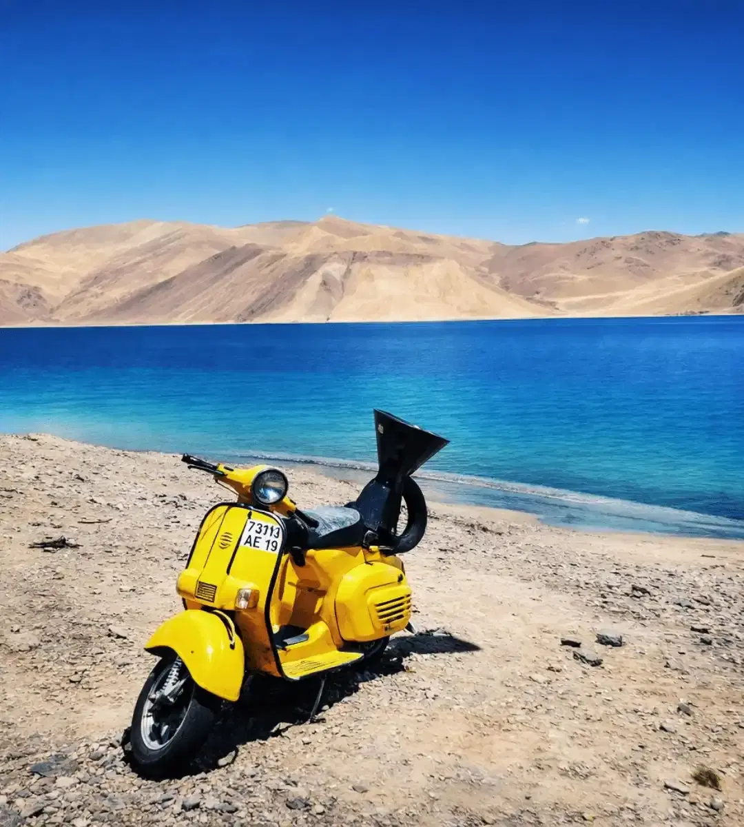
15 to 30 minutesThe small set up near Lukung, with a replica yellow scooter, the three drums, and a painted bench, is where most day trip travellers head first. It is crowded, touristy, and worth 10 minutes if you care about the movie reference and nothing if you do not. There is a small charge per photo on the props. Our suggestion, stop by briefly on arrival if you must, then drive on to Spangmik or Man where the real lake experience lives.
Drive east along the shore to Merak
1.5 to 2 hours each way including stopsThe south shore road continues past Spangmik and Man for about another 25 to 30 km to Merak, running right along the water for long stretches. This is where most weekenders never go, and it is where the lake feels like a wild place again. Go mid morning when the light is strong, stop at any pullout that catches your eye, and watch for Himalayan marmots on the grass flats. Beyond Merak the road continues towards Chushul as a restricted border area, do not attempt without a specific permit.
Stargaze on a clear night
30 to 60 minutes after 9 PMPangong's altitude, dry air, and lack of light pollution make it one of the darkest accessible skies in India. On a moonless night between June and September the Milky Way is startlingly visible. The trade off is the cold, you will be out in sub zero temperatures for this. Pack a down jacket and a headlamp with a red filter, step away from camp lights, and give your eyes ten minutes to adjust. Most camps will happily let you stay out late if you warn them in advance.
Tangtse and Chang La stops on the drive
20 to 45 minutes totalThe drive from Leh is part of the experience, not dead time. Chang La at 5,360 m deserves a quick 10 minute stop for the signboard photo and the army run tea stall, but do not linger because the altitude there is higher than the lake itself. Tangtse, about 34 km before the lake, is a good lunch stop with a few small dhabas and a quiet monastery above the village worth a 20 minute detour if you have time.
Short lakeside walks near your camp
30 to 60 minutesThere are no formal trails, but the stony shoreline near Spangmik and Man is easy to walk. Head a few hundred metres away from the main camp cluster until voices fade, sit on a rock, and listen to the water and wind. This is the part of Pangong that surprises travellers who arrived expecting only photographs. Keep an eye on the weather, the wind can shift fast in the afternoon, and walks should be short if you have felt any altitude symptoms.
Skip swimming and wading
Avoid entirelyTravellers occasionally ask about a quick dip. Do not. The water is freezing cold even in July, locals consider the lake sacred and do not enter it, and the combination of sub zero water, low oxygen, and remote medical access makes immersion genuinely dangerous. Touch the water at the shore, take your photograph, and keep your feet out.
Know before you visit Pangong Lake
The practical bits, from people who have been.
What Pangong Lake actually isHigh altitude saltwater lake on the India and China border, about 134 km long, two thirds across the LAC, Indian access limited to the south west shore up to Merak.
Before arriving it helps to set a few expectations. Pangong Tso is a saltwater lake, not a freshwater one, and its water is not drinkable. It sits at around 4,350 m on the Changthang plateau and stretches roughly 134 km, with about two thirds of its length across the border in China administered Tibet. The Line of Actual Control runs through the middle of it. On the Indian side, civilians can travel along the south west shore from Lukung through Spangmik and Man to Merak, a stretch of about 25 to 30 km. Beyond Merak the road continues towards Chushul, but this is a restricted border zone and requires specific permits if it is open at all.
The famous colour behaviour is real. The water shifts through turquoise, deep blue, grey, and green across the course of a day, driven by sun angle, depth, and suspended mineral content. Sunset is the most dramatic window on clear days. The lake is brackish enough that most aquatic life is limited, but migratory birds like bar headed geese and brahminy ducks visit in summer.
Altitude and acclimatisation realityPlan at least two full nights in Leh before Pangong. Skip Pangong on day one or two of a fly in trip. Acute Mountain Sickness is a real risk at 4,350 m.
The most common reason Pangong trips go badly is altitude, not permits or roads. At 4,350 m your body has roughly half the oxygen available at sea level, and if you arrive fresh from the plains without acclimatisation, you will feel it within hours. Standard symptoms of mild Acute Mountain Sickness are headache, nausea, poor appetite, dizziness, and disrupted sleep. They usually ease with rest and hydration, but they can escalate in a small percentage of travellers.
The practical plan. If you are flying into Leh, spend a minimum of two full nights in Leh at 3,500 m doing light activity only, before any drive to Pangong. Three nights is better. Hydrate constantly, avoid alcohol until you are past Pangong, and eat light, carb heavy meals for the first 48 hours. If you are arriving by road from Srinagar or Manali, you will have acclimatised gradually and the plan can be shorter, but a rest day in Leh before Pangong is still wise.
Warning signs that need action. Severe headache that does not respond to paracetamol, vomiting, confusion, persistent breathlessness at rest, or coughing pink or frothy sputum. These are signs of High Altitude Cerebral or Pulmonary Oedema and they are emergencies. The only treatment is immediate descent, ideally to Leh altitude or lower. Do not try to tough it out at the lake.
A gentle note, medical facilities at Pangong are effectively non existent. Serious cases require evacuation back to Leh, which takes five to six hours at minimum. Plan conservatively.
The permit truth for 2026Indian citizens pay an Environment and Wildlife Fee plus line permit through lahdclehpermit.in, usually 400 to 600 rupees. Foreigners need a Protected Area Permit through a registered Leh agent. Carry four or five paper copies.
The permit system for Ladakh has shifted several times in recent years, which is why travellers arrive confused. Here is the honest state of play as of 2026.
For Indian citizens. Apply online through the official LAHDC Leh portal at lahdclehpermit.in. You pay a combined Environment and Wildlife Fee plus a small daily line permit charge, typically adding up to around 400 to 600 rupees for a standard multi day permit. A single permit usually covers Pangong, Nubra Valley, Tso Moriri, and Hanle on one application. Children under 12 and J&K residents are generally exempt from the fee but still need ID at check posts.
For foreign nationals. You need a Protected Area Permit, not the standard ILP. This has to be applied through a registered travel agent in Leh with at least two travellers per application on paper, and processing takes longer than the Indian citizen version. Chinese and Pakistani passport holders face additional central government clearance and should not assume last minute application will work.
Practical tips. Carry four or five photocopies of the permit, plus the original, because check posts at Durbuk and Tangtse each keep one and sometimes Chang La adds another. Digital permits on your phone are accepted at most check posts, but paper is safer in cold where phones can freeze. For the Pangong to Tso Moriri route via Chushul, an additional special route permit is required and has to be arranged in person at the Leh DC office.
Permit fees and exact process can quietly update at the start of each season. Confirm the current fee structure through your Leh operator or the LAHDC portal before you travel.
Where to stay and how to bookTent camps at Spangmik, Man, and Merak. Luxury options 5,000 to 15,000 rupees a night. Budget camps 1,500 to 3,500. Book ahead for July and August.
There are no real hotels at Pangong. The only accommodation is seasonal tent camps at the three south shore villages, plus a handful of basic homestays at Tangtse for travellers on tighter budgets.
Spangmik. Closest to Lukung, widest choice, includes most of the better equipped luxury camps with attached bathrooms, heated common areas, and on site dining. Prices range from about 1,500 to 3,500 rupees a night for budget camps and 5,000 to 15,000 rupees a night for luxury camps, usually with dinner and breakfast included. This is where most tour packages place you.
Man village. About 15 km east of Spangmik, quieter, fewer camps, mostly mid range. A good pick if you want the lake experience without the Lukung visitor crowd. Slightly harder to book directly, most tour operators route you through Spangmik by default.
Merak. The most remote of the three, smallest number of camps, most local feel. Limited to basic facilities. This is the Pangong stay for travellers who want genuine quiet over comfort.
Booking reality. July and August weekends book out three to four weeks in advance at the better camps. September is usually easier to book a week or two out. Do not arrive at Pangong in peak season without a reservation, you can end up driving back to Tangtse for a homestay. Most camps do not have reliable online listings, bookings are handled by Leh operators who hold block allocations with specific camps. This is one area where a local package or tour operator genuinely helps.
Photography and light windowsMorning before 8 AM and late afternoon after 4 PM give the best light. Wind usually picks up by late morning. Stargazing between June and September on moonless nights.
Pangong is on most photographers' Ladakh shortlist for good reason, but the same light conditions that make it dramatic also make midday photography flat and harsh.
Morning window. Sunrise to about 8 AM is often glassy, with little wind and soft light on the mountains. Set your alarm for 5 AM in June, 5:45 AM in August.
Late afternoon window. From about 4 PM to sunset is when the colour transitions kick in. Walk 10 minutes east of the camp cluster to get clean water foreground without parked SUVs.
Stargazing. On a moonless night between June and September, the Milky Way is visible with the naked eye. Camps put out minimal external lights, but walk 200 metres away from the camp lights for a clean frame. Dress as if for winter, you will be standing still in sub zero temperatures.
Drones. Strongly discouraged at Pangong. The entire area is a sensitive border zone and drones have been confiscated. Leave yours in Leh or keep it packed.
Things to avoid photographing. Army posts, convoys, check post interiors, and permit officials at work. You will be asked to delete, and the ask is reasonable.
Who should visit, who should reconsiderHealthy adults who acclimatise properly, yes. Small children, travellers with significant heart or respiratory issues, and anyone uncomfortable at altitude, reconsider or supervise carefully.
Strong yes. Healthy adults, couples, solo travellers, photographers, first time Ladakh visitors who have built in two to three days of acclimatisation in Leh first, and anyone who has been comfortable at 3,500 m elsewhere without symptoms.
Maybe, with planning. Families with children aged seven and above, seniors in good general health who have their doctor's clearance for high altitude travel, and travellers with mild asthma that is well controlled. The key is conservative acclimatisation, camp style accommodation with oxygen support if possible, and a willingness to cut the trip short if someone feels unwell.
Reconsider or skip. Infants and very young children, anyone with uncontrolled blood pressure, recent cardiac events, severe asthma or COPD, recent respiratory infections, sickle cell disease, pregnancy in the third trimester, or a previous history of HAPE or HACE. For these travellers, Pangong is not the place to find out how your body handles 4,350 m.
Pet owners. Leave them at home or at a Leh boarding. The altitude, cold, and camp infrastructure are not suited to dogs or cats, and emergency vet care does not exist at the lake.
Honest verdict. For most travellers on a well planned Ladakh trip, Pangong is worth the effort. For a specific minority, particularly those with health considerations, the right call is to enjoy Leh and Nubra and skip the Pangong drive entirely. There is no shame in that choice, and altitude does not care about how badly you wanted the 3 Idiots shot.
Small things that will save your tripOffline maps, paper permits, proper down jacket, SPF 50 sunscreen, a physical debit card, electrolyte sachets, and extra snacks.
A condensed list of the small practical things that travellers regularly forget.
Download offline maps of the Leh to Pangong stretch in Google Maps or Maps.me before you leave Leh. Network disappears after Karu and does not return until you are on the way back.
Carry paper copies of your permit even if you have a digital version on your phone. Check posts prefer paper, and cold can freeze phones.
A real down jacket rated to minus 10 C, not a fleece. Even July nights at the lake can be near freezing, and September to October nights go below zero.
SPF 50 sunscreen and polarised sunglasses. UV at this altitude is intense, and most travellers get sunburn after two hours outside without protection.
Electrolyte sachets. Altitude dehydrates you faster than you realise. One or two litres of water a day is not enough here.
Debit card plus cash. No ATMs after Karu. Bring at least 5,000 to 7,000 rupees in cash per person for camp payments, tips, and incidentals.
Snacks. Chocolate, dry fruits, and biscuits for the drive. Dhaba stops are limited and altitude often kills appetite.
A simple medication kit. Paracetamol, diamox if your doctor has prescribed it, a basic antacid, anti nausea tablets, a small roll of crepe bandage. Discuss specifics with your doctor before travel.
Power bank. Camps often have only a few hours of generator power in the evening. A 20,000 mAh bank covers two nights comfortably.
Nearby attractions
Other places worth the detour.
Spangmik Village
~7 km east of Lukung on the south shore
The most accessible Pangong base, and where most travellers spend their night. Widest choice of camps, easy shore access, and the closest point to the main arrival area at Lukung. Worth a sunset walk along the shore even if you are not sleeping here.
Man Village
~15 km east of Spangmik
A smaller Changpa nomad settlement further along the south shore, fewer camps and much less crowded than Spangmik. A strong pick for travellers who prioritise quiet over camp facilities.
Merak Village
~25 to 30 km east of Spangmik
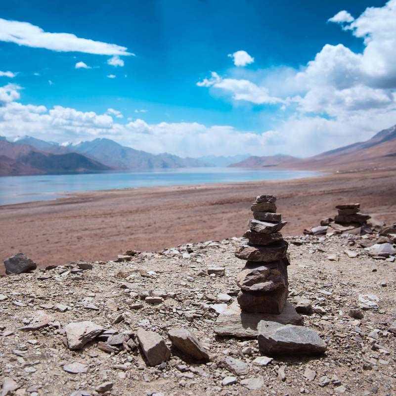
The last accessible village on the south shore before the road enters restricted zones beyond. Remote, quiet, and arguably the most atmospheric Pangong stay if you are happy with very basic facilities. The drive out there is a highlight in itself.
Lukung (3 Idiots photo spot)
Arrival point on the south shore
The first lakeside point most travellers reach on the drive from Leh. Known for the small crowded 3 Idiots prop zone with the yellow scooter replica. Worth a 10 minute stop if the movie reference interests you, not worth lingering otherwise.
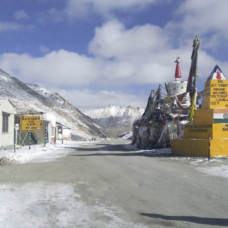
Chang La Pass
~60 km before Pangong on the route from Leh
The 5,360 metre pass you cross on the standard route. Prayer flags, an army run tea stall, a small temple, and sweeping views of the Zanskar range on a clear day. Keep the stop short, the altitude is higher here than at the lake and many travellers feel it more at Chang La than at Pangong itself.
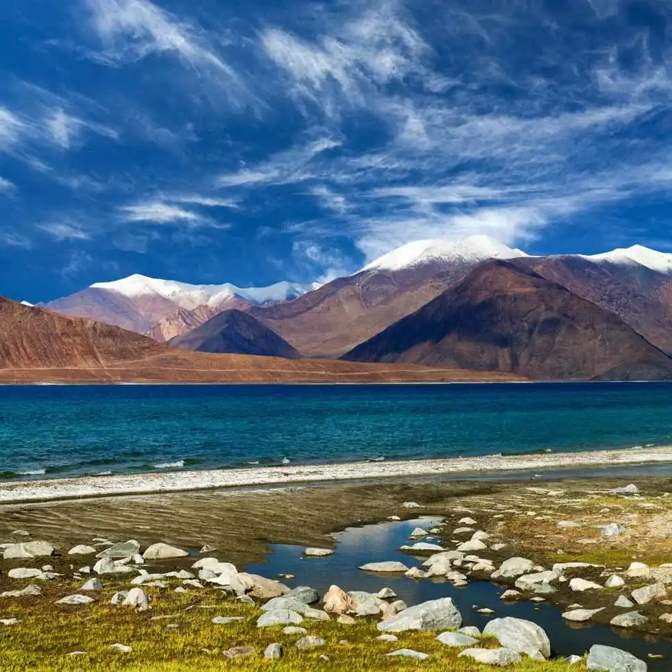
Tangtse
~34 km before Pangong
The last proper settlement on the route, with dhabas, a few basic homestays, and a small monastery on a hilltop above the village. Useful as a lunch stop on the drive out and an emergency accommodation backup if camps at Pangong are fully booked.
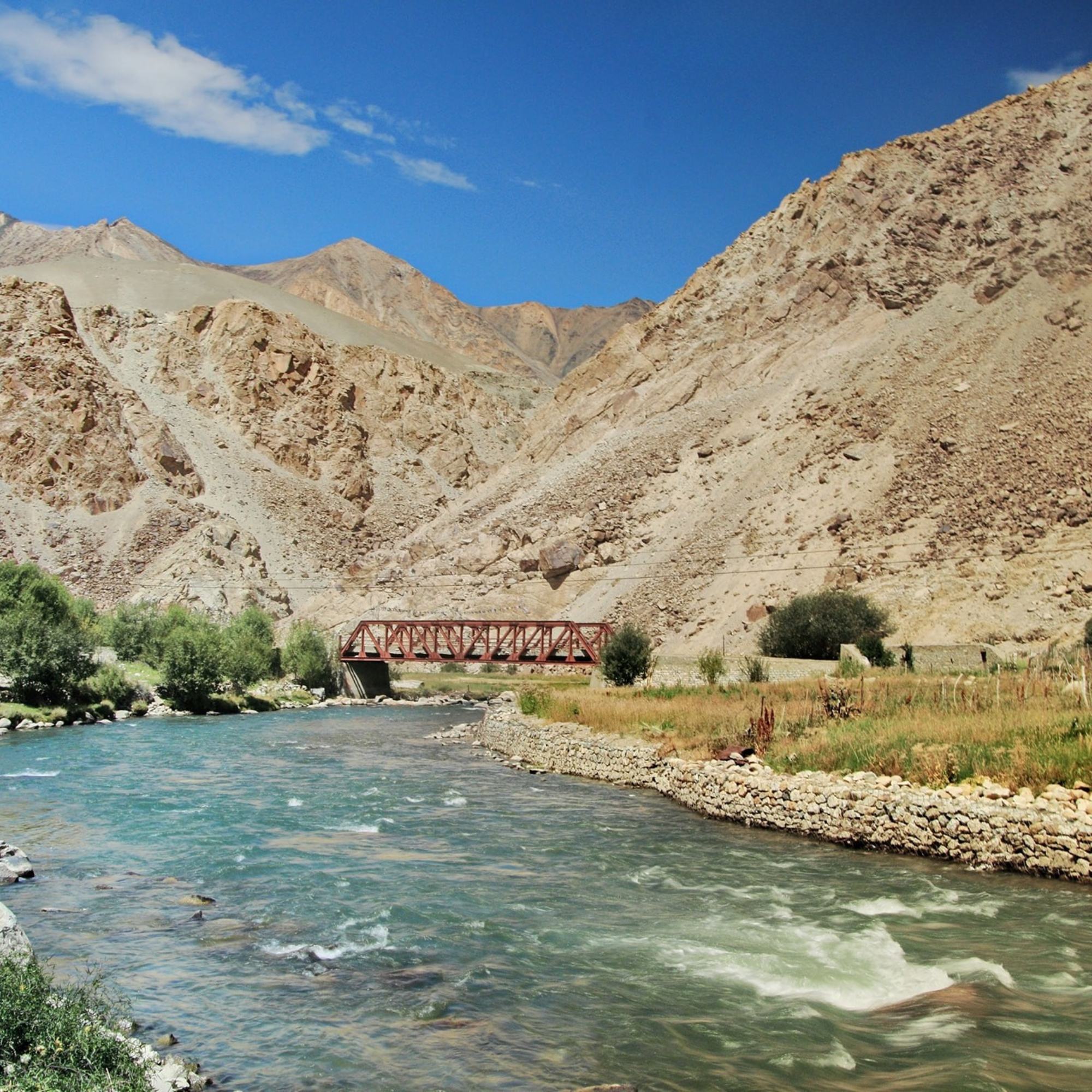
Shyok Valley
Connects Nubra to Pangong, ~230 km circuit via Hunder
The rough and dramatic river valley route that lets you skip the return to Leh and go directly from Nubra to Pangong. Rugged road, river crossings, and some of the most remote driving in Ladakh. Only in July to September, and only with a sturdy SUV.
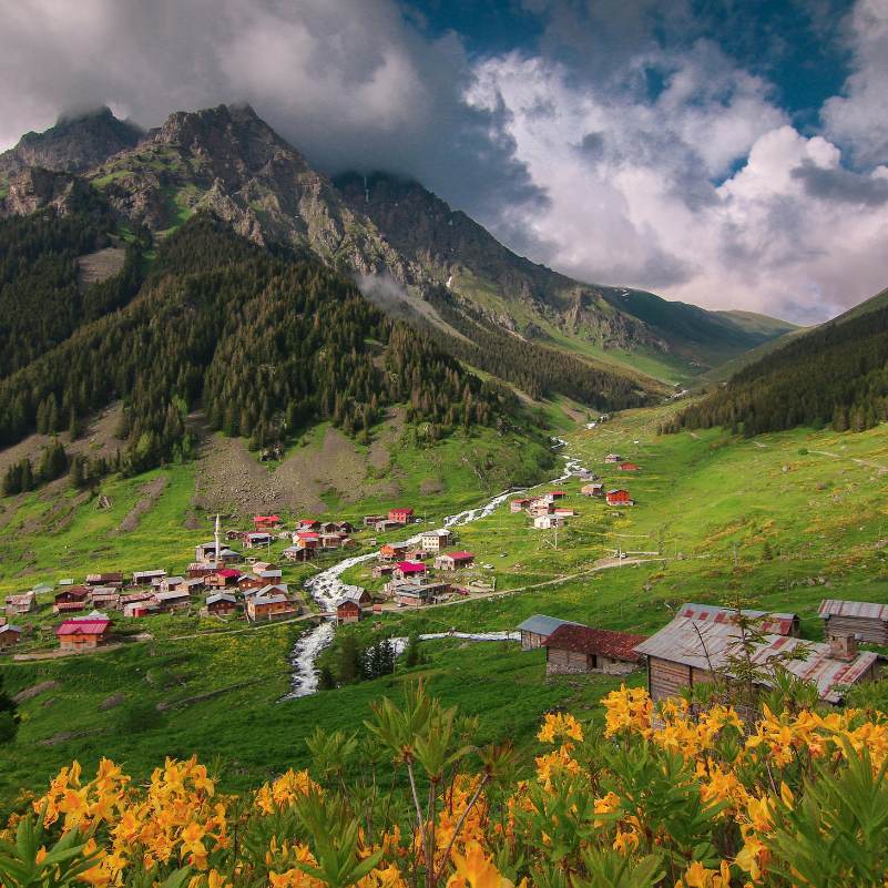
Nubra Valley
~230 km via the Shyok, or via Leh and Khardung La
The green river valley on the other side of Khardung La, home to sand dunes at Hunder, the Diskit monastery, and Turtuk village near the Pakistan border. Most travellers combine Nubra and Pangong on the same Ladakh trip.
Tso Moriri
~215 km via Chushul, or ~420 km via Leh
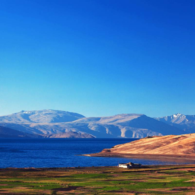
The other big Changthang lake, at 4,522 m. Smaller crowds than Pangong, a more remote setting, and a different feel. Ambitious travellers connect the two via Chushul if that route is open, most split them across a longer Ladakh itinerary through Leh.
Our packages with Pangong Lake
Curated trips that include a visit to Pangong Lake.
 Group Tour6D/5N
Leh Ladakh Group Tour With Nubra Valley and Pangong Lake
2D Leh•1D Nubra Valley+1
₹18,999/ person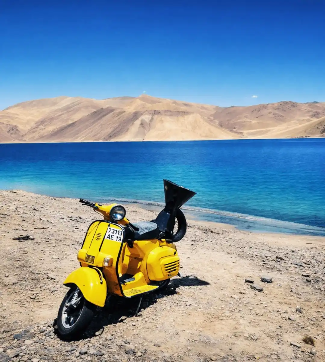 6D/5N
6D/5NBest Selling Leh Ladakh Tour With Nubra Valley and Pangong Lake
2D Leh•1D Nubra Valley+1
₹23,999₹28,599SAVE INR 4,600/ person 6D/5N
6D/5NUltimate Leh Ladakh Tour Package with Nubra Valley & Pangong Lake
2D Leh•1D Nubra Valley+1
₹28,999₹35,999SAVE INR 7,000/ person
Frequently Asked Questions about Pangong Lake
What is the altitude of Pangong Lake?
The lake surface sits at around 4,350 metres, which is roughly 14,270 feet above sea level. Chang La pass on the way is higher at about 5,360 metres. Some older pages quote figures as high as 16,530 feet, that number is incorrect and usually confuses the Chang La altitude with the lake itself.
How far is Pangong Lake from Leh and how long does the drive take?
Pangong is about 160 km from Leh via the standard Chang La route, and the drive usually takes five to six hours each way with two or three stops. The alternative route from Nubra Valley via the Shyok river is longer at about 230 km and takes seven to nine hours depending on road conditions.
Do I need a permit to visit Pangong Lake?
Yes, for everyone. Indian citizens apply online through the official LAHDC Leh portal at lahdclehpermit.in and pay a combined Environment and Wildlife Fee plus line permit, typically adding up to around 400 to 600 rupees for a standard multi day permit that also covers Nubra and Tso Moriri. Foreign nationals need a Protected Area Permit arranged through a registered Leh travel agent. Carry four or five paper copies for the check posts.
What is the best time to visit Pangong Lake?
Late May to late September is the practical window. Mid June to August is the main travel season with the warmest days and all camps open but also the biggest crowds. September and the first week of October are the best pick if you want clean light, clear skies, and thinner crowds, though nights get cold fast. Winter is technically accessible for specialist trips only.
Can I do Pangong Lake as a day trip from Leh?
You can, but we strongly recommend against it. A day trip means about eleven to twelve hours in a vehicle, thirty to ninety minutes at the lake, and no chance to see the famous colour transitions at sunset. At least one night at Spangmik, Man, or Merak changes the experience entirely. If you have limited time, a two day one night plan is the honest minimum.
Is Pangong Lake safe for first time Ladakh travellers?
Yes, for most healthy adults, provided you acclimatise properly. Spend at least two full nights in Leh at 3,500 metres before driving up to Pangong, hydrate constantly, avoid alcohol until you are past the lake, and do not plan Pangong for day one or two of a fly in trip. The altitude is significant and should not be rushed, but with sensible planning Pangong is comfortably manageable for first timers.
Where can I stay at Pangong Lake?
Almost all accommodation is seasonal tent camps at Spangmik, Man, and Merak villages on the south shore. Budget camps run roughly 1,500 to 3,500 rupees a night, luxury camps with attached bathrooms and heated common areas run 5,000 to 15,000 rupees a night, usually with dinner and breakfast included. Book three to four weeks ahead for July and August weekends. Basic homestays are available at Tangtse as a budget backup.
Is the water of Pangong Lake drinkable or swimmable?
No on both counts. It is a saltwater lake, so the water is not safe to drink. Swimming and wading are not advisable because the water is freezing cold even at the height of summer, oxygen is low at this altitude, and locals consider the lake sacred. Touch the water at the shore for photographs and keep your feet out.
How much of Pangong Lake is in India and how much in China?
The lake is roughly 134 km long and runs across the Line of Actual Control. About two thirds of its length lies across the border in China administered Tibet, and roughly one third is on the Indian side. Indian civilian access is limited to the south west shore up to Merak village. The exact percentage varies by source because the LAC itself is not a precisely marked international boundary.
Can I combine Pangong Lake with Nubra Valley and Tso Moriri on the same trip?
Yes, and most serious Ladakh itineraries do exactly that. A typical seven to nine day trip runs Leh, Nubra via Khardung La, Pangong via the Shyok or via Leh, and then Tso Moriri if you can afford another two days. The direct Pangong to Tso Moriri link via Chushul needs an additional special permit and is occasionally closed to civilian traffic at short notice based on border conditions, so keep a backup plan.
Is mobile network available at Pangong Lake?
Barely. BSNL postpaid is the only network that works intermittently around the lake, and even that drops out often. Jio and Airtel are effectively dead after Karu. Download offline maps in Leh, tell family and work you will be off grid for 24 to 48 hours, and do not plan any live video calls or critical connectivity for the Pangong leg.
Are there ATMs or fuel pumps near Pangong Lake?
No on both. The last working ATMs are in Leh, and the last reliable fuel pump on the Leh to Pangong route is at Karu, about 36 km from Leh. Carry enough cash for camp payments and incidentals, fill your tank fully in Leh before leaving, and carry an extra five to ten litre jerry can if you are self driving or on a motorcycle.
Can I bring a drone to Pangong Lake?
Strongly discouraged. The entire area is a sensitive border zone along the Line of Actual Control, drone use is heavily restricted and often explicitly prohibited, and there have been cases of drones being confiscated by security forces. Leave yours in Leh or keep it packed away for the Pangong leg of your trip.
Does Pangong Lake freeze in winter?
Yes. The lake surface freezes partially from December and is usually fully frozen between mid January and mid March, thick enough in places to walk on. Winter temperatures drop to minus 20 or minus 25 C at night, and almost all tourist infrastructure shuts down from mid October. Winter visits are specialist adventure trips arranged through experienced Leh operators, not regular leisure travel.
Related guides
Posts about Ladakh
- Manali to Leh Highway 2026: Every Pass, Stop and Distance
- Umling La Ladakh Guide 2026: Route, Altitude, Permit, Safety & Reality Check
- Turtuk Ladakh Travel Guide 2026: Balti Culture, Apricot Orchards and Why It Is Perfect for Families
- Offbeat Ladakh for Couples in 2026: Quiet Routes Beyond Pangong and Nubra
- Aryan Valley Ladakh Guide 2026: Dah, Hanu, Brokpa Culture, Route and Who Should Visit
- Hanle vs Tso Moriri vs Turtuk: Which Offbeat Ladakh Place Should You Choose in 2026?